Old Maps of Tennessee, Arkansas for Metal Detecting
Plan your next treasure hunt with 9 historic maps of Tennessee. Find old homesites, ghost towns, trails, and gathering spots that may be lost to time — perfect for identifying promising metal detecting locations.
- Locate forgotten sites: Uncover places like long-lost settlements, abandoned rail lines, or gathering spots.
- Plan better hunts: Use map overlays combined with LiDAR or satellite views to narrow in on historically rich areas.
- Made for detectorists: Thousands of hobbyists use these maps to discover relics, coins, and hidden history.
Use these historic maps to boost your research and find new opportunities beneath the surface of Tennessee.
Tennessee, AR maps
(9)- 1953 Map of Greenwood, 1966 Print
 1953 Greenwood1966 Print · USGSThe Mississippi Delta in the mid-fifties is captured here as a thriving network of river towns, railroads, and oxbow lakes. Researchers can trace the legacy of the Illinois Central Railroad and locate landmarks like the State Penal Farm and Greenville Air Force Base.5 unique versions available
 - 1956 Map of Greenwood
 1956 Greenwood1956 Print · USGSThe Mississippi Delta in the mid-fifties is captured here during a period of significant military and agricultural activity. Researchers can trace the rail lines of the Illinois Central RR, find the Greenville Air Force Base, or locate the State Penal Farm.
 - 1966 Map of Monticello North, 1967 Print
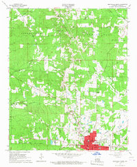 1966 Monticello North1967 Print · USGSMonticello enters the mid-sixties with its urban core and rural surroundings clearly mapped, showing the Missouri Pacific rail lines and the growing Monticello Airport. Genealogists can trace family roots through several landmarks including Lawson Cem, Rose Hill Ch, and the Childrens Home.
 - 1986 Map of Dumas
 1986 Dumas1986 Print · USGSSoutheast Arkansas in the mid-eighties shows a landscape defined by the winding Mississippi River and the Missouri Pacific Railroad corridor. Genealogists can trace family roots through river towns like Arkansas City and the rail-junction history of McGehee.2 unique versions available
 - 2011 Map of Monticello North, 2011 Print
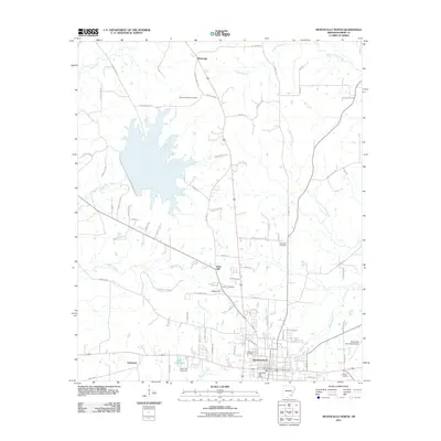 2011 Monticello North2011 Print · USGSCovers Tennessee, including Monticello, Rose Hill, and other nearby areas
 - 2014 Map of Monticello North, 2014 Print
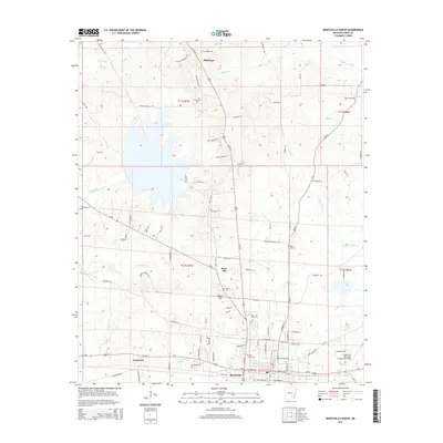 2014 Monticello North2014 Print · USGSCovers Tennessee, including Monticello, Rose Hill, and other nearby areas
 - 2017 Map of Monticello North, 2017 Print
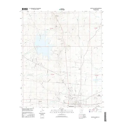 2017 Monticello North2017 Print · USGSCovers Tennessee, including Monticello, Rose Hill, and other nearby areas
 - 2020 Map of Monticello North, 2020 Print
 2020 Monticello North2020 Print · USGSCovers Tennessee, including Monticello, Rose Hill, and other nearby areas
 - 2024 Map of Monticello North, 2024 Print
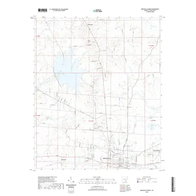
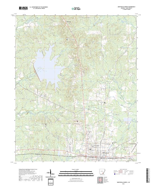 2024 Monticello North2024 Print · USGSMonticello and its northern hinterlands are documented here in the mid-2020s, showing the city's growth toward the surrounding Arkansas piney woods. Genealogists can locate several historic burial grounds like Rose Hill Cem and Lawson Cem, or trace the development around Dura-Craft Lake.
End of results
Showing maps 1-9 of 9
Top cities near Tennessee
Frequently asked questions
- What are the different types of historical maps available for Tennessee?
- What is the oldest map of Tennessee?
- Where can I purchase historical maps of Tennessee for my home or office?
- Where can I download high-res historical maps of Tennessee?
- Are there historical topographic maps available for Tennessee?
- Is there historical aerial imagery available for Tennessee?
- Where are historical maps of Tennessee sourced from?