Old Maps of Mayflower, Arkansas for Genealogy
Trace your family roots with 29 historic maps of Mayflower. These high-res maps reveal old neighborhoods, homesites, landmarks, and streets — helping you uncover where your ancestors lived and how the area evolved over time.
- Explore historic neighborhoods: Identify where your relatives may have lived in the 1800s or 1900s.
- Compare maps over time: Trace the changes in streets, buildings, and landmarks for multi-generational research.
- Perfect for genealogy & ancestry research: Used by family historians and researchers to map out lineage and migration.
These maps are an incredible resource for exploring your personal connection to Mayflower's past.
Mayflower, AR maps
(29)- 1891 Map of Little Rock
 1891 Little Rock1891 Print · USGSLittle Rock and the central Arkansas river valley are shown in detail during the 1890s, when rail travel and river trade dominated the local economy. Genealogists can trace early homesteads and communities near Argenta, the Indian Mounds at Toltec, and Sweet Home.
 - 1893 Map of Little Rock
 1893 Little Rock1893 Print · USGSLittle Rock and the Arkansas River valley are shown here in the early 1890s, just as the regional rail network was maturing. Genealogists can trace family roots through old settlements like Argenta, Shilcott, and Collegeville, or locate archaeological sites such as the Indian Mounds.5 unique versions available
 - 1953 Map of Mayflower, 1957 Print
 1953 Mayflower1957 Print · USGSThe Arkansas River valley at mid-century shows a landscape defined by military reservations and rural settlement patterns. Genealogists and local historians can trace the foundations of Mayflower and find historic sites like White City Church and Mayflower Cemetery.5 unique versions available
 - 1955 Map of Little Rock, 1978 Print
 1955 Little Rock1978 Print · USGSCentral Arkansas in the mid-fifties exhibits a landscape of growing cities, massive military installations, and mountain reservoirs. Genealogists and historians can trace the industrial Bauxite Mines, regional rail lines, and local landmarks like Antioch Church.
 - 1956 Map of Little Rock
 1956 Little Rock1956 Print · USGSCentral Arkansas in the mid-fifties shows a landscape defined by burgeoning military bases and the timber-and-mineral wealth of the Ouachitas. Genealogists and researchers can trace old rail lines like the Missouri Pacific and find established communities such as Bauxite, Sheridan, and Mabelvale.
 - 1956 Map of Russellville
 1956 Russellville1956 Print · USGSThe Arkansas River valley and the surrounding Boston Mountains are captured here in the mid-fifties, showing a landscape of small timber towns and new reservoirs. Genealogists can trace family roots through upland settlements like Pelsor and Witts Springs or locate the campus of Arkansas Polytechnic College.2 unique versions available
 - 1960 Map of Little Rock
 1960 Little Rock1960 Print · USGSCentral Arkansas in the late fifties shows a landscape of growing military bases and massive new reservoirs. Local historians can trace the mid-century expansion of Little Rock and Hot Springs alongside the industrial works at Bauxite and the Pine Bluff Arsenal.
 - 1961 Map of Conway, 1963 Print
 1961 Conway1963 Print · USGSThe college town of Conway and the northern reaches of Lake Conway are captured here in the early sixties as the city expanded along the rail lines. Researchers can locate numerous local landmarks including Hendrix College, Oak Grove Cemetery, and State Teachers College.4 unique versions available
 - 1961 Map of Conway, 1963 Print
 1961 Conway1963 Print · USGSConway and central Arkansas are captured here during a season of mid-century growth and collegiate expansion. Researchers can locate vanished rural landmarks and early infrastructure like Hendrix College, Beaver Fork Lake, and the Drive-in Theater.
 - 1964 Map of Russellville
 1964 Russellville1964 Print · USGSMid-century Central Arkansas is defined here by the river-valley towns and the surrounding mountain ranges before the full expansion of the interstate system. Genealogists and historians can trace rail-town development along the Missouri Pacific Railroad and locate landmarks like Arkansas Polytechnic College or Petit Jean State Park.
 - 1964 Map of Little Rock
 1964 Little Rock1964 Print · USGSCentral Arkansas in the mid-sixties is a landscape of mountain ridges, industrial rail lines, and growing military hubs. Researchers can trace the development of Bauxite and Hot Springs or locate rural landmarks like Sparkman and the Pine Bluff Arsenal.
 - 1977 Map of Russellville
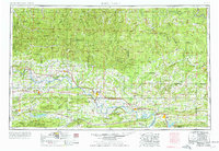 1977 Russellville1977 Print · USGSThe Arkansas River Valley and surrounding Ozark Mountains are documented here during a period of significant postwar growth and infrastructure development. Genealogists and researchers can locate family landmarks such as Mount Carmel Cem, St Josephs Church, and several remote Coal Mine sites along the Missouri Pacific RR line.
 - 1983 Map of Conway, 1984 Print
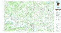 1983 Conway1984 Print · USGSThe Arkansas River valley in the early eighties shows a landscape of river-bend settlements and expanding wildlife areas. Genealogists and historians can trace the Missouri Pacific RR through old river towns like Toad Suck, Morrilton, and Menifee.
 - 1984 Map of Russellville
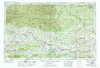 1984 Russellville1984 Print · USGSThe Arkansas River valley was undergoing significant change in the 1950s as transportation and water management reshaped the region from Russellville to Conway. Researchers can trace the era's rail networks like the Missouri Pacific RR and explore landmarks like Magazine Mountain and Petit Jean State Park.
 - 1985 Map of Little Rock, 1988 Print
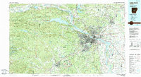 1985 Little Rock1988 Print · USGSLittle Rock and its surrounding river valley are shown in the mid-eighties as the region balanced urban expansion with its industrial and military roots. Genealogists and historians can locate dozens of institutions and family landmarks, including Mount Holly Cem, the Bauxite Mines, and Central High Sch.
 - 1987 Map of Mayflower
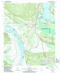 1987 Mayflower1987 Print · USGSFaulkner and Pulaski counties are shown in the late 1980s as the suburbs and conservation areas north of Little Rock began to take their modern form. Researchers can trace the development of Mayflower and Maumelle, locate family sites near Mayflower Cem, or explore the riparian landscape of Fletcher Bend and Grassy Lake.2 unique versions available
 - 1992 Map of Russellville, 1993 Print
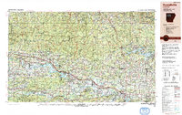 1992 Russellville1993 Print · USGSCentral Arkansas in the early nineties shows a landscape defined by the Arkansas River valley and the surrounding national forests. Trace the development of river towns like Russellville and Dardanelle alongside landmarks such as Lake Dardanelle and Magazine Mtn.
 - 1994 Map of Conway
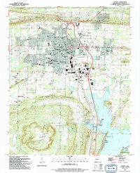 1994 Conway1994 Print · USGSConway emerges as a thriving regional center in the early nineties, balancing its identity as a college town with its position along the Union Pacific line. Researchers can trace historic family plots at Oak Grove Cem and Macedonia Cem or locate old landings along Lake Conway like Brannon Landing.
 - 1994 Map of Mayflower, 2000 Print
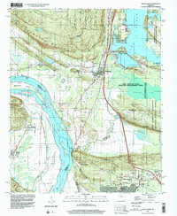 1994 Mayflower2000 Print · USGSThe Arkansas River valley meets the southern shores of Lake Conway in the mid-nineties. Genealogists and local historians can trace the foundations of Mayflower and Maumelle while locating landmarks like Mayflower Cem, Northside Ch, and the sprawling Camp Joseph T Robinson.
 - 2011 Map of Mayflower, 2011 Print
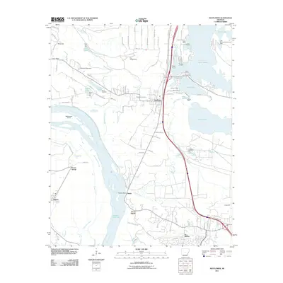 2011 Mayflower2011 Print · USGSThe Arkansas River corridor and Lake Conway shoreline come into sharp focus in the early 2000s. Genealogists and local historians can trace family-named sites like Monnie Springs, explore the area around Mayflower Cemetery, and locate old landings such as Jacks Landing.
 - 2011 Map of Conway, 2011 Print
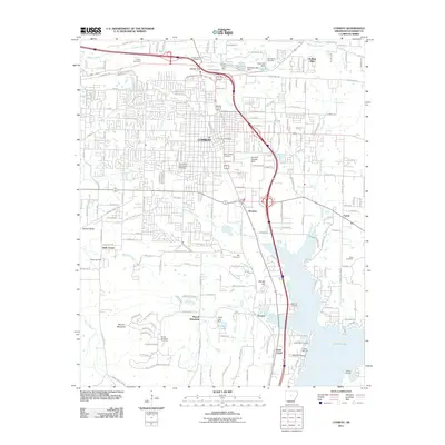 2011 Conway2011 Print · USGSConway and the surrounding Faulkner County landscape are captured here in the early twenty-first century as the city expanded toward the lake. Genealogists and local historians can trace family locations near Stone Cemetery, the settlement of Brumley, and the shoreline of Lake Conway.
 - 2014 Map of Mayflower, 2014 Print
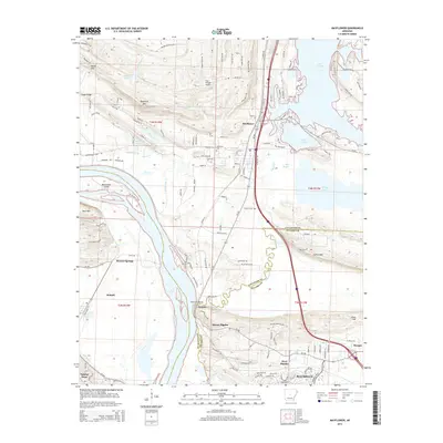 2014 Mayflower2014 Print · USGSNorth of Little Rock in the early twenty-first century, this area shows the suburban growth of Maumelle alongside the Arkansas River. Researchers can trace the river's edge at Natural Steps or locate rural landmarks like Mount Pilgrim and the Mayflower Cem.
 - 2014 Map of Conway, 2014 Print
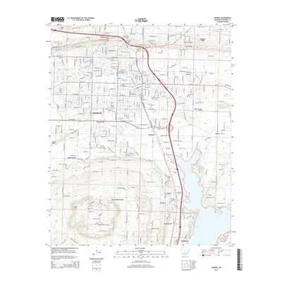 2014 Conway2014 Print · USGSConway and southern Faulkner County are shown in this modern survey as a bustling educational and regional hub. Genealogists and researchers can locate several historical burial sites including Oak Grove Cem and Macedonia Cem, or trace the campus boundaries of Hendrix Coll and Univ of Central Arkansas.
 - 2017 Map of Conway, 2017 Print
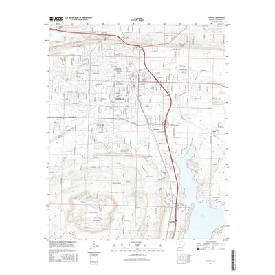 2017 Conway2017 Print · USGSConway and its surrounding ridges are captured in 2017, showing the city's growth alongside its academic and historic foundations. Researchers can trace family plots at Oak Grove Cem or locate the campuses of Hendrix Coll and Central Baptist Coll.
 - 2017 Map of Mayflower, 2017 Print
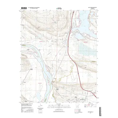 2017 Mayflower2017 Print · USGSThe Arkansas River corridor south of Lake Conway is captured here in the late twenty-teens, showing the modern layout of these historic river-valley communities. You can trace local landmarks like Natural Steps, Mayflower Cem, and the river crossings at Devils Bend.
Showing maps 1-25 of 29
Top cities near Mayflower
- Little Rock historical maps
- North Little Rock historical maps
- Conway historical maps
- Sherwood historical maps
- Maumelle historical maps
- Vilonia historical maps
See more
Frequently asked questions
- What are the different types of historical maps available for Mayflower?
- What is the oldest map of Mayflower?
- Where can I purchase historical maps of Mayflower for my home or office?
- Where can I download high-res historical maps of Mayflower?
- Are there historical topographic maps available for Mayflower?
- Is there historical aerial imagery available for Mayflower?
- Where are historical maps of Mayflower sourced from?