2020s Maps of Hot Springs, Arkansas
Explore 11 historic maps of Hot Springs from the 2020s. These maps offer a rare glimpse into what life looked like during the 2020s — showing old roads, neighborhoods, homes, and landmarks that have changed or disappeared over time.
Whether you're researching your family's past, planning a metal detecting trip, or studying how Hot Springs's landscape evolved across the 2020s, these high-resolution maps are a powerful tool for exploring the history of this region.
- Focus on a specific era: All maps on this page are from the 2020s, giving you a focused view of this time period.
- See what’s changed: Compare century-old streets, trails, and buildings to today's modern landscape using overlays and satellite layers.
- Research with precision: Use these maps for genealogy, historical research, land use analysis, or educational projects.
- View, download, or print: Maps are fully viewable online in high resolution, and can be downloaded or printed for your own records.
Start exploring Hot Springs's history through authentic maps from the 2020s. This is your window into the past.
Hot Springs, AR maps
(11)- 2020 Map of Hempwallace, 2020 Print
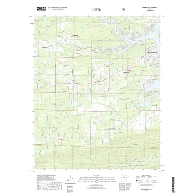 2020 Hempwallace2020 Print · USGSCovers Hot Springs, including Rockwell, Hempwallace, and other nearby areas
 - 2020 Map of Hot Springs North, 2020 Print
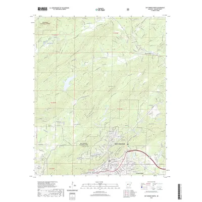 2020 Hot Springs North2020 Print · USGSCovers Hot Springs, including Ozark Lithia, Euclid Heights, and other nearby areas
 - 2020 Map of Hot Springs South, 2020 Print
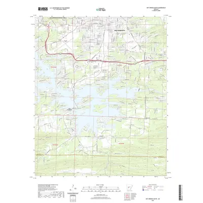 2020 Hot Springs South2020 Print · USGSCovers Hot Springs, including Red Oak, Lake Hamilton, and other nearby areas
 - 2020 Map of Fountain Lake, 2020 Print
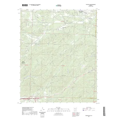
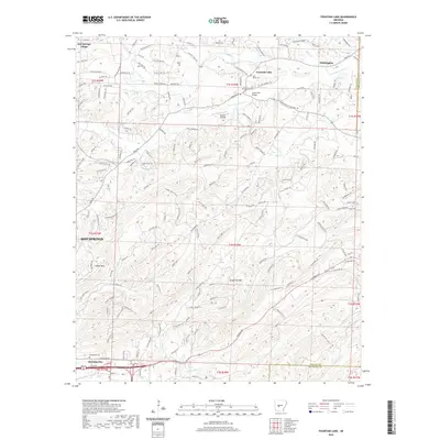 2020 Fountain Lake2020 Print · USGSCovers Hot Springs, including Fountain Lake, Fountain Lake, and other nearby areas
 - 2020 Map of Lake Catherine, 2020 Print
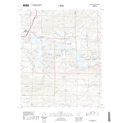 2020 Lake Catherine2020 Print · USGSCovers Hot Springs, including Diamondhead, Price, and other nearby areas
 - 2023 Map of Fountain Lake, 2023 Print
 2023 Fountain Lake2023 Print · USGSCovers Hot Springs, including Fountain Lake, Fountain Lake, and other nearby areas
 - 2024 Map of Fountain Lake, 2024 Print
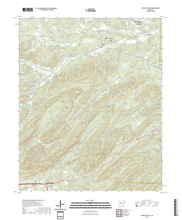 2024 Fountain Lake2024 Print · USGSThe Garland County hills come into focus in this contemporary survey of the terrain surrounding Fountain Lake and its neighboring ridges. Genealogists and historians can trace local roots at Medlock Cem and McClendon Cem or locate old sites near Whittington.
 - 2024 Map of Hot Springs North, 2024 Print
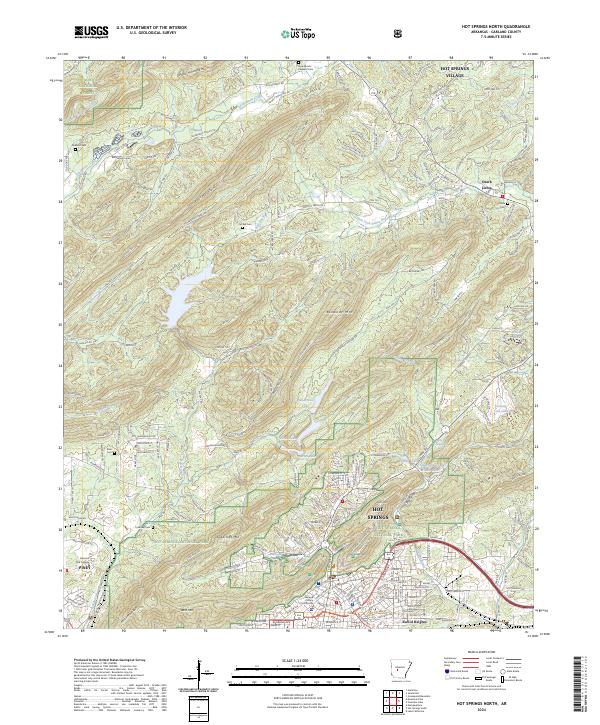 2024 Hot Springs North2024 Print · USGSNear the city of Hot Springs in the early twenty-first century, the mountain ridges of the Ouachitas meet growing communities and parklands. Researchers can trace the boundaries of Hot Springs National Park and locate historic sites like the Garland County Courthouse and Big Chalybeate Spring.
 - 2024 Map of Hempwallace, 2024 Print
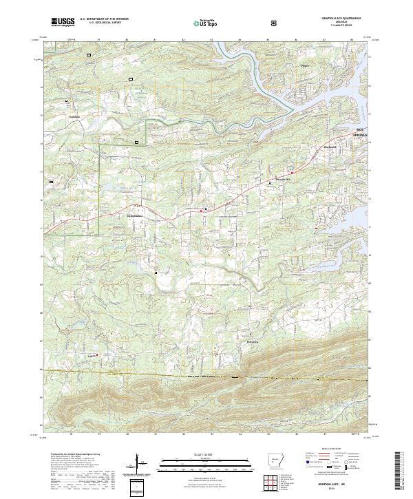 2024 Hempwallace2024 Print · USGSGarland County and the outskirts of Hot Springs are shown here in the mid-2020s as the suburbs meet the national forest. Researchers can trace rural lineages through local landmarks like Rush Fork Cem, Hempwallace, and the heights of Trap Mtn.
 - 2024 Map of Lake Catherine, 2024 Print
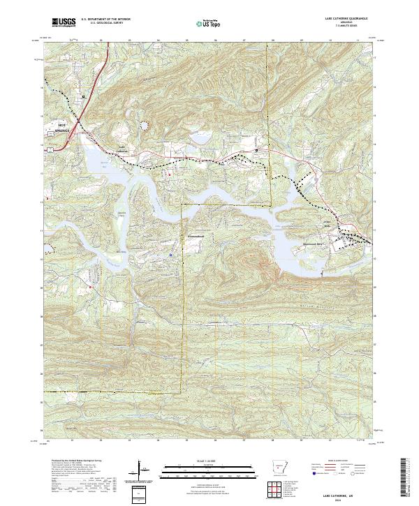 2024 Lake Catherine2024 Print · USGSThe Ouachita River valley south of Hot Springs comes into focus on this recent survey, showcasing the growing communities along Lake Catherine. Researchers can trace the development of residential areas like Diamondhead or locate local landmarks including Price Cem and Jones Mills.
 - 2024 Map of Hot Springs South, 2024 Print
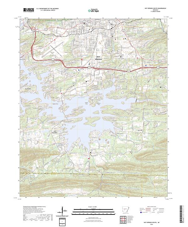 2024 Hot Springs South2024 Print · USGSHot Springs and the surrounding Arkansas lakelands are shown here as they appear in the early twenty-first century. Genealogists and historians can trace numerous burial grounds like Jewish Rest Cem and old river crossings such as Kaiser Ferry.
End of results
Showing maps 1-11 of 11
Top cities near Hot Springs
- Hot Springs Village historical maps
- Malvern historical maps
- Mountain Pine historical maps
- Magnet Cove historical maps
- Fountain Lake historical maps
- Fountain Lake historical maps
See more
Top neighborhoods of Hot Springs
Frequently asked questions
- What are the different types of historical maps available for Hot Springs?
- What is the oldest map of Hot Springs?
- Where can I purchase historical maps of Hot Springs for my home or office?
- Where can I download high-res historical maps of Hot Springs?
- Are there historical topographic maps available for Hot Springs?
- Is there historical aerial imagery available for Hot Springs?
- Where are historical maps of Hot Springs sourced from?