Old Maps of Paragould, Arkansas for Metal Detecting
Plan your next treasure hunt with 33 historic maps of Paragould. Find old homesites, ghost towns, trails, and gathering spots that may be lost to time — perfect for identifying promising metal detecting locations.
- Locate forgotten sites: Uncover places like long-lost settlements, abandoned rail lines, or gathering spots.
- Plan better hunts: Use map overlays combined with LiDAR or satellite views to narrow in on historically rich areas.
- Made for detectorists: Thousands of hobbyists use these maps to discover relics, coins, and hidden history.
Use these historic maps to boost your research and find new opportunities beneath the surface of Paragould.
Paragould, AR maps
(33)- 1939 Map of Jonesboro, 1942 Print
 1939 Jonesboro1942 Print · USGSJonesboro and its surrounding farmstead communities are captured in the late thirties, when railroads and rural schools defined the region. Researchers can trace family sites like Higginsbottom Hope Sch or the remote Doss Flag Stop along the rail lines.
 - 1940 Map of Gainesville, 1942 Print
 1940 Gainesville1942 Print · USGSGreene County was defined by its ridge and river bottomlands in the early 1940s, as rural communities thrived along the local railroads. Genealogists can trace family names through dozens of landmarks like Jones Ridge Cem, St Johns Ch & Cem, and Greene Co High Sch.2 unique versions available
 - 1940 Map of Marmaduke, 1942 Print
 1940 Marmaduke1942 Print · USGSThe lowland border between Arkansas and Missouri comes into focus in the early 1940s, showing a landscape of river islands and new drainage ditches. Researchers can locate vanished rural landmarks like Bonecamp Sch, the Reddick Cem, and the tracks of the St Louis Southwestern Railway.3 unique versions available
 - 1953 Map of Memphis, 1966 Print
 1953 Memphis1966 Print · USGSEastern Arkansas and the Memphis riverfront are shown here during the mid-century period of regional growth and river management. Local historians can trace the paths of the Chicago Rock Island & Pacific RR through Forrest City or locate river landmarks like President's Island.3 unique versions available
 - 1956 Map of Memphis
 1956 Memphis1956 Print · USGSThe Mississippi Delta and the bluffs of West Tennessee meet in the mid-fifties, showing a landscape defined by massive river systems and rail hubs. Researchers can trace the path of Crowleys Ridge or locate vanished river landings near Centennial Island and Island No 35.
 - 1957 Map of Poplar Bluff, 1968 Print
 1957 Poplar Bluff1968 Print · USGSThe Missouri-Arkansas border region is captured here as the timber and rail industries shaped the Ozark foothills. Genealogists and historians can trace the Missouri Pacific Railroad through river towns like Pocahontas, Greenville, and Van Buren.3 unique versions available
 - 1958 Map of Jonesboro
 1958 Jonesboro1958 Print · USGSJonesboro and the surrounding Crowley's Ridge area are captured in the late fifties as the regional center expanded around Arkansas State College. Researchers can trace early rural life through an extensive network of landmarks like Indian Mounds, Nettleton, and the Philadelphia Ch & Cem.2 unique versions available
 - 1958 Map of Marmaduke, 1962 Print
 1958 Marmaduke1962 Print · USGSThe Arkansas-Missouri borderlands come alive in this mid-century survey of the St. Francis River basin and the agricultural landscape of Greene County. Genealogists and historians can trace family locations through numerous rural landmarks like Harveys Chapel Cem, Nutt Chapel, and the stops along the St Louis Southwestern RR.2 unique versions available
 - 1958 Map of Gainesville, 1962 Print
 1958 Gainesville1962 Print · USGSGreene County in the late fifties was a landscape of ridges and river bottoms defined by small agricultural settlements and rural schools. Genealogists can trace family footprints across dozens of sites like Jones Ridge Cem, Evening Star Ch, and the community at Stanford.2 unique versions available
 - 1959 Map of Poplar Bluff
 1959 Poplar Bluff1959 Print · USGSThe Missouri Ozarks and Arkansas borderlands meet in this late 1950s study of the region's diverse terrain and rail-fed towns. Researchers can trace the path of the Missouri Pacific Railroad through Poplar Bluff or locate smaller settlements like Birch Tree and Myrtle.
 - 1959 Map of Marmaduke
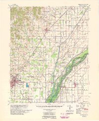 1959 Marmaduke1959 Print · USGSGreene County and the Missouri bootheel transition appear here in the late fifties, dominated by the rail-and-river economy. Researchers can trace rural lineages through dozen of landmarks like Old Liberty Cem, Alexander Sch, and the riverside settlement of Cardwell.
 - 1960 Map of Gainesville
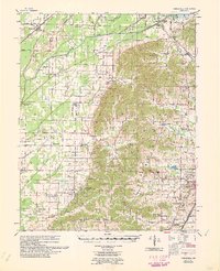 1960 Gainesville1960 Print · USGSNortheast Arkansas in the late fifties shows the sharp contrast between the managed Cache River bottoms and the heights of Crowleys Ridge. Genealogists can locate family landmarks like Bonds Cem, Pruitt Ch, and the original settlement at Gainesville.
 - 1960 Map of Poplar Bluff
 1960 Poplar Bluff1960 Print · USGSSoutheast Missouri and Northeast Arkansas are captured here during the post-war era, showing the transition from the Ozark highlands to the Delta. Genealogists and historians can trace rail corridors like the St. Louis Southwestern RR and remote settlements such as Birch Tree and Warm Springs.
 - 1983 Map of Brookland, 1984 Print
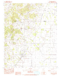 1983 Brookland1984 Print · USGSNortheast Arkansas in the early 1980s shows a landscape split between the elevations of Crowleys Ridge and the drained lowlands. Researchers can trace the St Louis Southwestern rail line through Brookland or locate rural sites like Goobertown and Sims Cem.
 - 1983 Map of Paragould East, 1984 Print
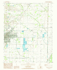 1983 Paragould East1984 Print · USGSGreene County agriculture and the eastward expansion of Paragould are on full display in the early eighties. Genealogists and researchers can trace local landmarks like Morning Star, Cotton Belt, and the intricate fish ponds near Lake Side.2 unique versions available
 - 1984 Map of Paragould West
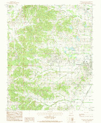 1984 Paragould West1984 Print · USGSGreene County in the early eighties shows a community in transition as the city of Paragould expands toward the western hills. Researchers can trace family roots through the Greene High area or locate specific landmarks like the Drive-In Theater and the St Louis rail corridor.3 unique versions available
 - 1984 Map of Paragould
 1984 Paragould1984 Print · USGSNortheast Arkansas and the Missouri Bootheel appear here in the mid-1980s as a landscape of ridge-top towns and engineered delta drainage. Genealogists and historians can locate rural landmarks like Oak Grove Church, trace the St Louis San Francisco RR, or explore the limits of Crowleys Ridge State Park.2 unique versions available
 - 1986 Map of Jonesboro
 1986 Jonesboro1986 Print · USGSNortheast Arkansas in the mid-eighties shows a landscape of intensive drainage and railroad junctions centered on the rise of Crowley's Ridge. Researchers can trace the rail corridors of the St Louis Southwestern Railway and explore the unique geography of Hatchie Coon Island and the Mississippi River floodplain.2 unique versions available
 - 2011 Map of Brookland, 2011 Print
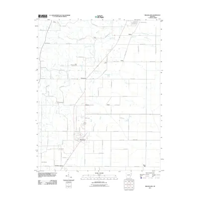 2011 Brookland2011 Print · USGSThe rural outskirts of Jonesboro come into focus in the early 2010s, showing a landscape defined by the Missouri Pacific rail line. Researchers can trace family history through numerous burial sites like Sweet Moments Cemetery and Pine Log Cemetery.
 - 2011 Map of Paragould East, 2011 Print
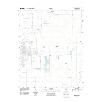 2011 Paragould East2011 Print · USGSIn Greene County during the early twenty-first century, the city of Paragould expanded eastward along the historic Cotton Belt rail line. Genealogists and local historians can trace family locations near Coffman Cemetery or the settlements of Morning Star and Noxburn.
 - 2011 Map of Paragould West, 2011 Print
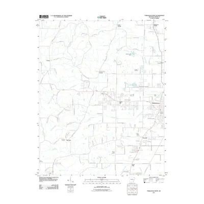 2011 Paragould West2011 Print · USGSThe western expansion of Greene County is captured in the early 2000s, showing the residential and rural patterns around the city. Researchers can trace local heritage at Linwood Cemetery or locate family-named crossroads like Pine Knot and Rock Hill.
 - 2014 Map of Brookland, 2014 Print
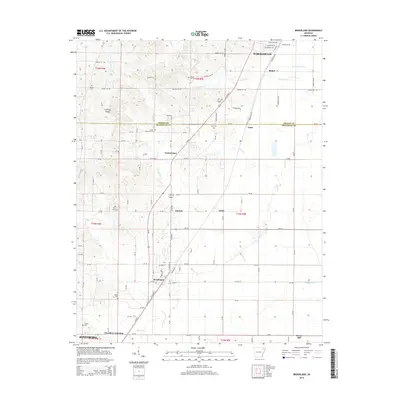 2014 Brookland2014 Print · USGSNortheast Arkansas unfolds along the Greene and Craighead county line during a period of steady rural development. Genealogists and local historians can locate several family cemeteries such as Pine Log Cem and settlements like Goobertown and Antioch.
 - 2014 Map of Paragould East, 2014 Print
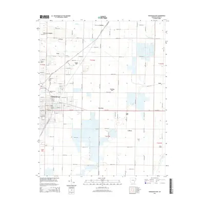 2014 Paragould East2014 Print · USGSGreene County is shown in this modern survey as the city of Paragould expands into the surrounding agricultural flatlands. Researchers can locate family landmarks like Coffman Cem or trace the early paths of rural communities like Cotton Belt and Bard.
 - 2014 Map of Paragould West, 2014 Print
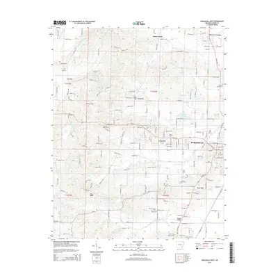 2014 Paragould West2014 Print · USGSParagould and the eastern slopes of the ridge are captured in the twenty-first century as suburban growth meets rural Arkansas tradition. Genealogists can trace family plots at Linwood Cem and Shiloh Cem or locate Crowley's Ridge Coll.
 - 2017 Map of Paragould East, 2017 Print
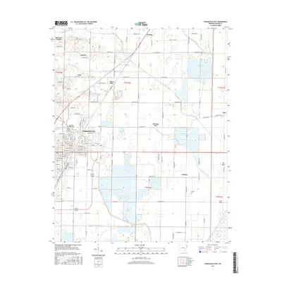 2017 Paragould East2017 Print · USGSParagould and the fertile Greene County bottomlands are captured here in the late twenty-tens, showing a landscape defined by industrial rail and massive drainage projects. Researchers can trace local lineage near Coffman Cem or follow the historic Cotton Belt RR through settlements like Halliday and Cotton Belt.
Showing maps 1-25 of 33
Top cities near Paragould
- Jonesboro historical maps
- Lake City historical maps
- Rector historical maps
- Brookland historical maps
- Monette historical maps
- Marmaduke historical maps
See more
Top neighborhoods of Paragould
- Fairview historical maps
- Green High historical maps
- Center Hill historical maps
- Rock Hill historical maps
Frequently asked questions
- What are the different types of historical maps available for Paragould?
- What is the oldest map of Paragould?
- Where can I purchase historical maps of Paragould for my home or office?
- Where can I download high-res historical maps of Paragould?
- Are there historical topographic maps available for Paragould?
- Is there historical aerial imagery available for Paragould?
- Where are historical maps of Paragould sourced from?