2000s (21st Century) Maps of Batesville, Arkansas
Explore 20 historic maps of Batesville from the 2000s (21st Century). These maps offer a rare glimpse into what life looked like during the 2000s — showing old roads, neighborhoods, homes, and landmarks that have changed or disappeared over time.
Whether you're researching your family's past, planning a metal detecting trip, or studying how Batesville's landscape evolved across the 2000s, these high-resolution maps are a powerful tool for exploring the history of this region.
- Focus on a specific era: All maps on this page are from the 2000s, giving you a focused view of this time period.
- See what’s changed: Compare century-old streets, trails, and buildings to today's modern landscape using overlays and satellite layers.
- Research with precision: Use these maps for genealogy, historical research, land use analysis, or educational projects.
- View, download, or print: Maps are fully viewable online in high resolution, and can be downloaded or printed for your own records.
Start exploring Batesville's history through authentic maps from the 2000s. This is your window into the past.
Batesville, AR maps
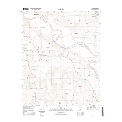
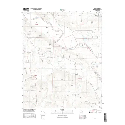
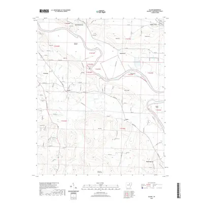
(20)- 2011 Map of Batesville, 2011 Print
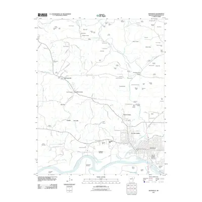 2011 Batesville2011 Print · USGSCovers Batesville, including Cushman, Pattonville, and other nearby areas
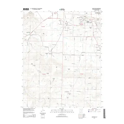
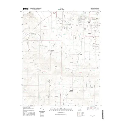
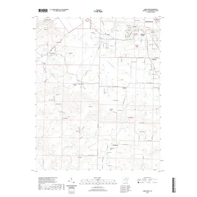
 - 2011 Map of Jamestown, 2011 Print
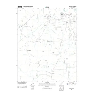 2011 Jamestown2011 Print · USGSCovers Batesville, including Southside, Bryant, and other nearby areas
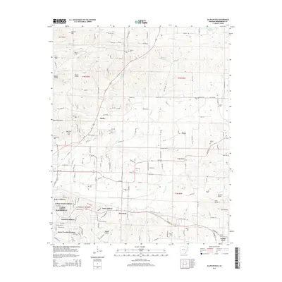
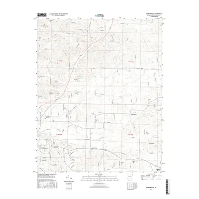
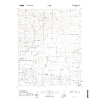
 - 2011 Map of Salado, 2011 Print
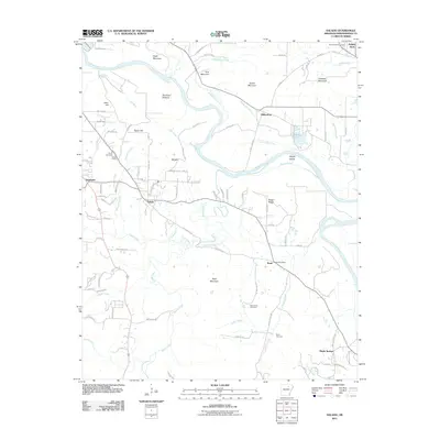 2011 Salado2011 Print · USGSCovers Batesville, including Southside, Sulphur Rock, and other nearby areas
 - 2011 Map of Sulphur Rock, 2011 Print
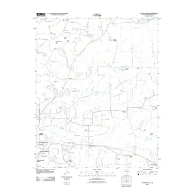 2011 Sulphur Rock2011 Print · USGSCovers Batesville, including Sulphur Rock, Moorefield, and other nearby areas
 - 2014 Map of Salado, 2014 Print
 2014 Salado2014 Print · USGSCovers Batesville, including Southside, Sulphur Rock, and other nearby areas
 - 2014 Map of Batesville, 2014 Print
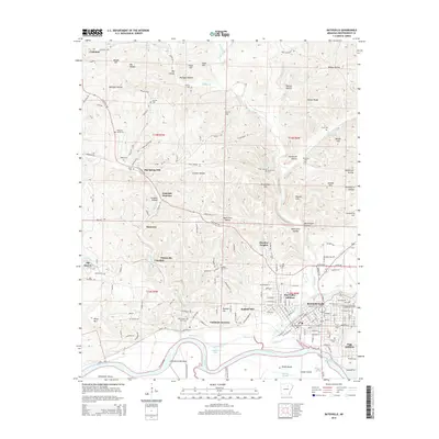 2014 Batesville2014 Print · USGSCovers Batesville, including Cushman, Pattonville, and other nearby areas
 - 2014 Map of Jamestown, 2014 Print
 2014 Jamestown2014 Print · USGSCovers Batesville, including Southside, Bryant, and other nearby areas
 - 2014 Map of Sulphur Rock, 2014 Print
 2014 Sulphur Rock2014 Print · USGSCovers Batesville, including Sulphur Rock, Moorefield, and other nearby areas
 - 2017 Map of Salado, 2017 Print
 2017 Salado2017 Print · USGSCovers Batesville, including Southside, Sulphur Rock, and other nearby areas
 - 2017 Map of Sulphur Rock, 2017 Print
 2017 Sulphur Rock2017 Print · USGSCovers Batesville, including Sulphur Rock, Moorefield, and other nearby areas
 - 2017 Map of Jamestown, 2017 Print
 2017 Jamestown2017 Print · USGSCovers Batesville, including Southside, Bryant, and other nearby areas
 - 2017 Map of Batesville, 2017 Print
 2017 Batesville2017 Print · USGSCovers Batesville, including Cushman, Pattonville, and other nearby areas
 - 2020 Map of Salado, 2020 Print
 2020 Salado2020 Print · USGSCovers Batesville, including Southside, Sulphur Rock, and other nearby areas
 - 2020 Map of Jamestown, 2020 Print
 2020 Jamestown2020 Print · USGSCovers Batesville, including Southside, Bryant, and other nearby areas
 - 2020 Map of Sulphur Rock, 2020 Print
 2020 Sulphur Rock2020 Print · USGSCovers Batesville, including Sulphur Rock, Moorefield, and other nearby areas
 - 2020 Map of Batesville, 2020 Print
 2020 Batesville2020 Print · USGSCovers Batesville, including Cushman, Pattonville, and other nearby areas
 - 2024 Map of Salado, 2024 Print
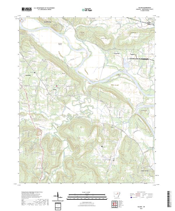 2024 Salado2024 Print · USGSIndependence County's river-and-ridge landscape comes into focus in this contemporary survey of the White River valley. Genealogists and local historians can trace family roots through rural landmarks like Macedonia Cem and communities such as Salado and Rosie.
 - 2024 Map of Jamestown, 2024 Print
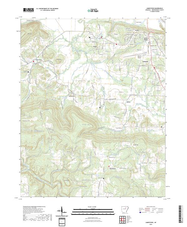 2024 Jamestown2024 Print · USGSIndependence County comes into focus in this contemporary survey of the hills and hollows surrounding the settlement of Jamestown. Genealogists and historians can locate family burial sites like Palestine Cem or trace rural land use near Buffalo Creek and Cobb Mtn.
 - 2024 Map of Sulphur Rock, 2024 Print
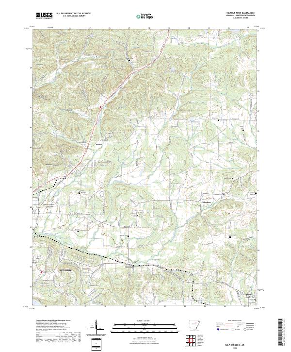 2024 Sulphur Rock2024 Print · USGSThe area east of Batesville in the twenty-twenties shows a landscape of established educational campuses and rural hamlets. Family history researchers can trace locations like Sulphur Rock, Moorefield, and several local burial sites such as Stark Cem and Lees Chapel Cem.
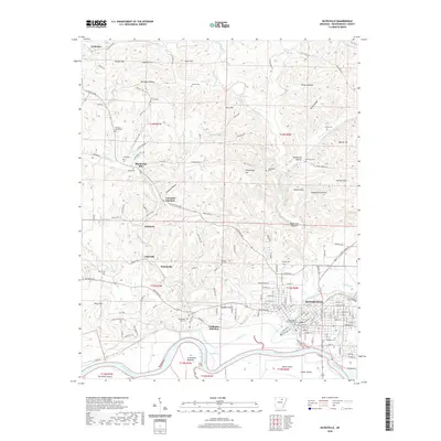
 - 2024 Map of Batesville, 2024 Print
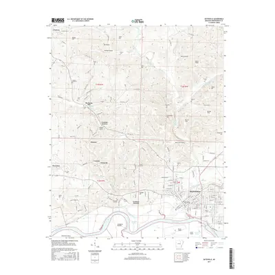
 2024 Batesville2024 Print · USGSBatesville and the White River valley are documented in this recent survey, showcasing the area's transition from a river-based economy to a modern regional center. Genealogists can locate family landmarks like Big Spring Mill and several local burial sites including Old Ruddell Hill Cem and James Cem.
End of results
Showing maps 1-20 of 20
Top cities near Batesville
- Southside historical maps
- Cave City historical maps
- Newark historical maps
- Cushman historical maps
- Sulphur Rock historical maps
- Mount Pleasant historical maps
See more
Top neighborhoods of Batesville
- Eastwood Addition historical maps
- Meadow Heights historical maps
- Sun Valley Addition historical maps
- Wolford Addition historical maps
- Pegg Addition historical maps
- Rogers Addition historical maps
See more
Frequently asked questions
- What are the different types of historical maps available for Batesville?
- What is the oldest map of Batesville?
- Where can I purchase historical maps of Batesville for my home or office?
- Where can I download high-res historical maps of Batesville?
- Are there historical topographic maps available for Batesville?
- Is there historical aerial imagery available for Batesville?
- Where are historical maps of Batesville sourced from?