Old Maps of Double Wells, Arkansas for Genealogy
Trace your family roots with 11 historic maps of Double Wells. These high-res maps reveal old neighborhoods, homesites, landmarks, and streets — helping you uncover where your ancestors lived and how the area evolved over time.
- Explore historic neighborhoods: Identify where your relatives may have lived in the 1800s or 1900s.
- Compare maps over time: Trace the changes in streets, buildings, and landmarks for multi-generational research.
- Perfect for genealogy & ancestry research: Used by family historians and researchers to map out lineage and migration.
These maps are an incredible resource for exploring your personal connection to Double Wells's past.
Double Wells, AR maps
(11)- 1955 Map of Little Rock, 1978 Print
 1955 Little Rock1978 Print · USGSCentral Arkansas in the mid-fifties exhibits a landscape of growing cities, massive military installations, and mountain reservoirs. Genealogists and historians can trace the industrial Bauxite Mines, regional rail lines, and local landmarks like Antioch Church.
 - 1956 Map of Little Rock
 1956 Little Rock1956 Print · USGSCentral Arkansas in the mid-fifties shows a landscape defined by burgeoning military bases and the timber-and-mineral wealth of the Ouachitas. Genealogists and researchers can trace old rail lines like the Missouri Pacific and find established communities such as Bauxite, Sheridan, and Mabelvale.
 - 1960 Map of Little Rock
 1960 Little Rock1960 Print · USGSCentral Arkansas in the late fifties shows a landscape of growing military bases and massive new reservoirs. Local historians can trace the mid-century expansion of Little Rock and Hot Springs alongside the industrial works at Bauxite and the Pine Bluff Arsenal.
 - 1962 Map of Pine Bluff NW, 1963 Print
 1962 Pine Bluff NW1963 Print · USGSJefferson and Grant counties are captured here in the early sixties, showing a landscape of timbered creek bottoms and quiet rural crossroads. Genealogists and local historians can locate several family landmarks, including Fitzhugh Cem, Lee Cem, and Double Wells Ch.4 unique versions available
 - 1964 Map of Little Rock
 1964 Little Rock1964 Print · USGSCentral Arkansas in the mid-sixties is a landscape of mountain ridges, industrial rail lines, and growing military hubs. Researchers can trace the development of Bauxite and Hot Springs or locate rural landmarks like Sparkman and the Pine Bluff Arsenal.
 - 1985 Map of Malvern
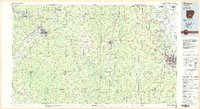 1985 Malvern1985 Print · USGSCentral Arkansas in the mid-eighties shows a landscape of timberlands and river valleys anchored by the industrial hubs of Malvern and Pine Bluff. Genealogists can locate family landmarks and rural institutions like Social Hill Sch, Magnet Cove, and Pine Bluff Arsenal.2 unique versions available
 - 2011 Map of Pine Bluff NW, 2011 Print
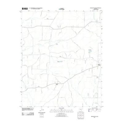 2011 Pine Bluff NW2011 Print · USGSJefferson County at the start of the decade reveals a landscape of dispersed settlements and quiet creek bottoms. Researchers can trace ancestral locations through numerous family burial sites like Fitzhugh Cemetery and Lee Cemetery, or locate old property lines near Double Wells.
 - 2014 Map of Pine Bluff NW, 2014 Print
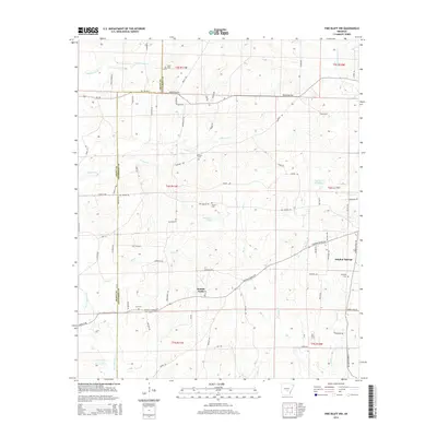 2014 Pine Bluff NW2014 Print · USGSThe Jefferson County countryside southwest of Pine Bluff appears here in the early twenty-first century, centered on the communities of Double Wells and Sulphur Springs. Local history and genealogy researchers can locate several family burial grounds like Fitzhugh Cem and Lee Cem, or trace the legacy of industrial transport along the Old Tram Rd.
 - 2017 Map of Pine Bluff NW, 2017 Print
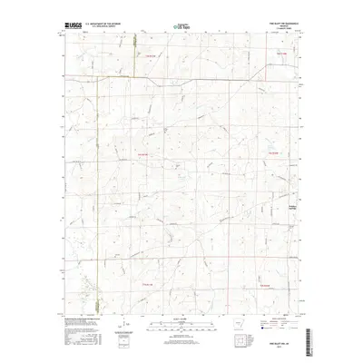 2017 Pine Bluff NW2017 Print · USGSJefferson and Grant counties appear in the mid-2010s, showing a rural landscape defined by creeks and family settlements. Researchers can trace ancestral roots through several sites like Fitzhugh Cem, Sulphur Springs, and Lee Cem.
 - 2020 Map of Pine Bluff NW, 2020 Print
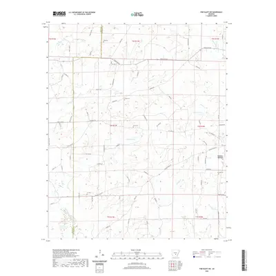 2020 Pine Bluff NW2020 Print · USGSJefferson County in the modern era is captured here as a landscape of rural settlements and quiet creek bottoms. Genealogists and historians can locate family burial sites at Heutt Cem or Phillips Cem and trace the path of the Old Tram Rd.
 - 2024 Map of Pine Bluff NW, 2024 Print
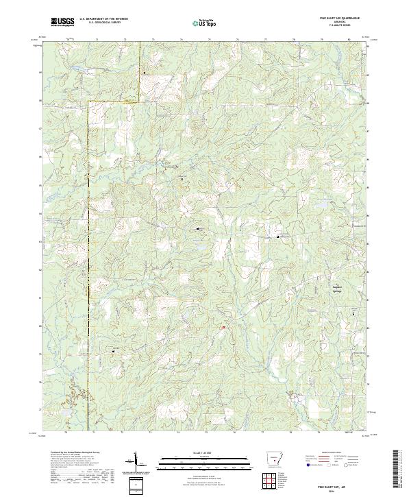 2024 Pine Bluff NW2024 Print · USGSJefferson County in the 2020s remains a landscape of quiet rural communities and winding creek bottoms near the Grant County line. Genealogists and local historians can trace family locations through numerous sites like Saint Patricks Catholic Cem, Sulphur Springs, and Lee Cem.
End of results
Showing maps 1-11 of 11
Top cities near Double Wells
Frequently asked questions
- What are the different types of historical maps available for Double Wells?
- What is the oldest map of Double Wells?
- Where can I purchase historical maps of Double Wells for my home or office?
- Where can I download high-res historical maps of Double Wells?
- Are there historical topographic maps available for Double Wells?
- Is there historical aerial imagery available for Double Wells?
- Where are historical maps of Double Wells sourced from?