Old Maps of White Hall, Arkansas for Academic Research
Study the evolution of White Hall with 19 high-resolution historic maps. Whether you're teaching, researching, or modeling changes in land use, these maps provide essential visual documentation of urban, environmental, and geographic change.
- Analyze long-term change: Track patterns in development, transportation, and natural features.
- Ideal for environmental or urban studies: Support academic projects with primary historical map data.
- Use in the classroom or lab: Educators and researchers rely on these maps to bring historical context to life.
These maps are a powerful tool for teaching, research, and visualizing how White Hall has changed over the decades.
White Hall, AR maps
(19)- 1932 Map of Pastoria, 1965 Print
 1932 Pastoria1965 Print · USGSThe Arkansas River valley comes alive in the mid-1930s, showing a landscape defined by deep river bends and rural institutional life. Genealogists can trace family roots through numerous sites like Haywood College, Pastoria Ch & Cem, and the State Penal Farm.2 unique versions available
 - 1935 Map of Pastoria, 1937 Print
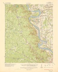 1935 Pastoria1937 Print · USGSJefferson County's riverfront landscape in the mid-1930s shows a complex network of bayous, schools, and small post offices. Researchers can trace family history at Haywood College, locate the State Penal Farm, or find long-standing community landmarks like Morris Chapel Sch & Ch.2 unique versions available
 - 1955 Map of Little Rock, 1978 Print
 1955 Little Rock1978 Print · USGSCentral Arkansas in the mid-fifties exhibits a landscape of growing cities, massive military installations, and mountain reservoirs. Genealogists and historians can trace the industrial Bauxite Mines, regional rail lines, and local landmarks like Antioch Church.
 - 1956 Map of Little Rock
 1956 Little Rock1956 Print · USGSCentral Arkansas in the mid-fifties shows a landscape defined by burgeoning military bases and the timber-and-mineral wealth of the Ouachitas. Genealogists and researchers can trace old rail lines like the Missouri Pacific and find established communities such as Bauxite, Sheridan, and Mabelvale.
 - 1960 Map of Little Rock
 1960 Little Rock1960 Print · USGSCentral Arkansas in the late fifties shows a landscape of growing military bases and massive new reservoirs. Local historians can trace the mid-century expansion of Little Rock and Hot Springs alongside the industrial works at Bauxite and the Pine Bluff Arsenal.
 - 1962 Map of Pine Bluff, 1963 Print
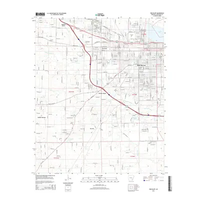
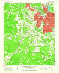 1962 Pine Bluff1963 Print · USGSPine Bluff at the start of the sixties reveals a growing urban center still deeply tied to its bayou landscape and rail lines. Researchers can find numerous local institutions like Merrill High Sch, the Arkansas Industrial Sch, and several old burial grounds including Graceland Cemetery.4 unique versions available
 - 1964 Map of Little Rock
 1964 Little Rock1964 Print · USGSCentral Arkansas in the mid-sixties is a landscape of mountain ridges, industrial rail lines, and growing military hubs. Researchers can trace the development of Bauxite and Hot Springs or locate rural landmarks like Sparkman and the Pine Bluff Arsenal.
 - 1970 Map of White Hall, 1972 Print
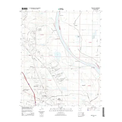
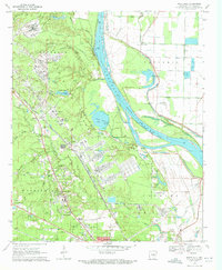 1970 White Hall1972 Print · USGSJefferson County in the early seventies shows a landscape shaped by the river and the massive Pine Bluff Arsenal. Genealogists and historians can trace family locations near Plainview Sch, Morris Chapel, and the riverfront settlement at Pastoria.6 unique versions available
 - 1985 Map of Malvern
 1985 Malvern1985 Print · USGSCentral Arkansas in the mid-eighties shows a landscape of timberlands and river valleys anchored by the industrial hubs of Malvern and Pine Bluff. Genealogists can locate family landmarks and rural institutions like Social Hill Sch, Magnet Cove, and Pine Bluff Arsenal.2 unique versions available
 - 2011 Map of White Hall, 2011 Print
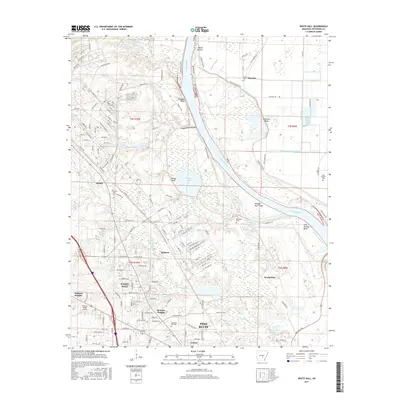
 2011 White Hall2011 Print · USGSCovers White Hall, including Pine Bluff, Dexter, and other nearby areas
 - 2011 Map of Pine Bluff, 2011 Print
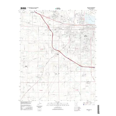
 2011 Pine Bluff2011 Print · USGSCovers White Hall, including Pine Bluff, Sorrells, and other nearby areas
 - 2014 Map of White Hall, 2014 Print
 2014 White Hall2014 Print · USGSCovers White Hall, including Pine Bluff, Dexter, and other nearby areas
 - 2014 Map of Pine Bluff, 2014 Print
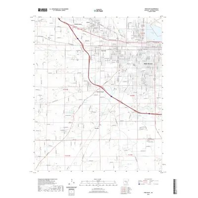
 2014 Pine Bluff2014 Print · USGSCovers White Hall, including Pine Bluff, Sorrells, and other nearby areas
 - 2017 Map of White Hall, 2017 Print
 2017 White Hall2017 Print · USGSCovers White Hall, including Pine Bluff, Dexter, and other nearby areas
 - 2017 Map of Pine Bluff, 2017 Print
 2017 Pine Bluff2017 Print · USGSCovers White Hall, including Pine Bluff, Sorrells, and other nearby areas
 - 2020 Map of Pine Bluff, 2020 Print
 2020 Pine Bluff2020 Print · USGSCovers White Hall, including Pine Bluff, Sorrells, and other nearby areas
 - 2020 Map of White Hall, 2020 Print
 2020 White Hall2020 Print · USGSCovers White Hall, including Pine Bluff, Dexter, and other nearby areas
 - 2024 Map of White Hall, 2024 Print
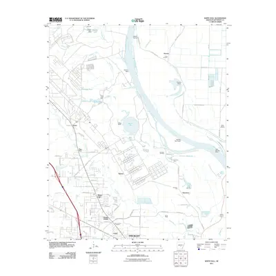
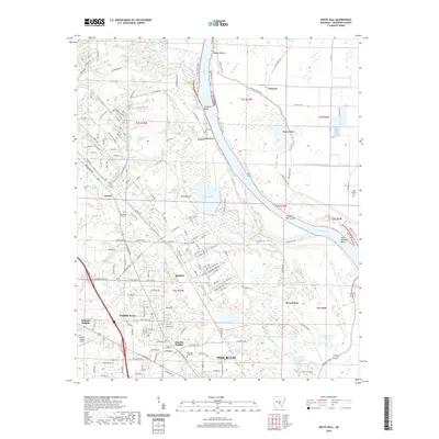
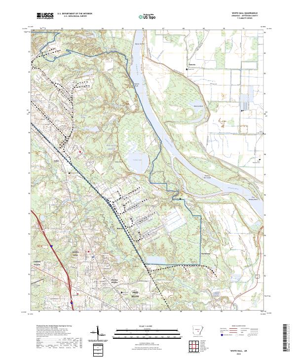 2024 White Hall2024 Print · USGSJefferson County's riverfront and military landscape are captured here in the early twenty-first century as the Arkansas River winds past Pine Bluff Arsenal. Researchers can trace local burial sites like McFadden Cem and Saint Lukes Cem or explore the oxbows of Yellow Lake.
 - 2024 Map of Pine Bluff, 2024 Print
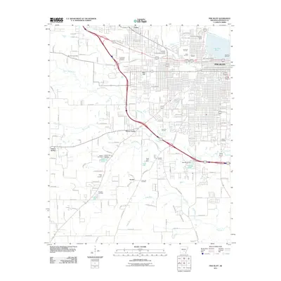
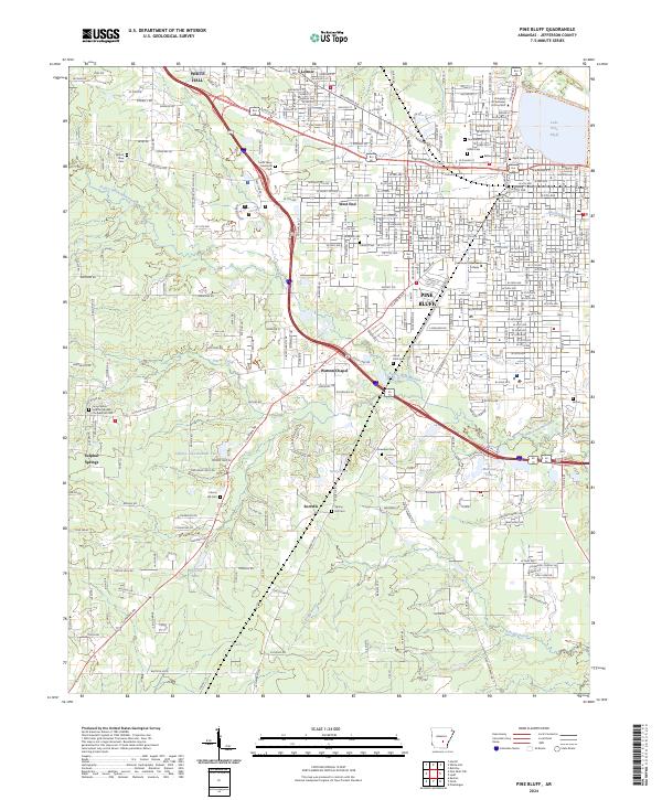 2024 Pine Bluff2024 Print · USGSPine Bluff and its surrounding Jefferson County communities are shown here at the mid-2020s. Trace local family history through numerous burial sites like Camp White Sulphur Springs Confederate Cem and landmarks such as the Jefferson County Courthouse.
End of results
Showing maps 1-19 of 19
Top cities near White Hall
Top neighborhoods of White Hall
Frequently asked questions
- What are the different types of historical maps available for White Hall?
- What is the oldest map of White Hall?
- Where can I purchase historical maps of White Hall for my home or office?
- Where can I download high-res historical maps of White Hall?
- Are there historical topographic maps available for White Hall?
- Is there historical aerial imagery available for White Hall?
- Where are historical maps of White Hall sourced from?