Old Maps of Oak Grove, Arkansas
Explore 10 old maps of Oak Grove, spanning from 1951 to today. These high-resolution historic maps reveal how streets, neighborhoods, landmarks, and natural features evolved over time — perfect for genealogy, metal detecting, research, and local history exploration.
What you can do with these maps:
- See how Oak Grove changed over time: Compare historical maps to modern-day views to trace roads, homesites, rail lines & more.
- View detailed metadata: Each map includes creators, publishers, year, scale, and archive source.
- Overlay maps with satellite & LiDAR: Visualize the past alongside modern tools to explore terrain & human change.
- Trusted historical sources: Maps sourced from the USGS, Library of Congress, and other archives.
- Access maps your way: View online, download high-res files, or order prints for personal or research use.
Start exploring old maps of Oak Grove to uncover forgotten places, hidden landmarks, and the deep history beneath your feet.
Oak Grove, AR maps
(10)- 1951 Map of Arkinda, 1952 Print
 1951 Arkinda1952 Print · USGSThe Oklahoma and Arkansas borderlands in the early fifties reveal a landscape of cross-state rail lines and small country school districts. Researchers can trace the junction of the Kansas City Southern and Arkinda community, alongside historic sites like Saints Rest Ch and Oak Grove Sch.4 unique versions available
 - 1953 Map of Texarkana, 1964 Print
 1953 Texarkana1964 Print · USGSThe Texas-Arkansas borderlands are captured here in the mid-fifties, during a decade of massive military and hydraulic engineering projects. Genealogists and researchers can locate family landmarks like Old Boston Cem, Siloam Ch, and the vast Red River Arsenal.4 unique versions available
 - 1956 Map of Texarkana
 1956 Texarkana1956 Print · USGSThe Ark-La-Tex borderlands come alive in the mid-fifties, showing the transition from a rail-dependent rural economy to a post-war industrial landscape. Researchers can trace the massive Red River Ordnance Depot and find towns like Talco, Bogata, and Naples.
 - 1986 Map of Idabel
 1986 Idabel1986 Print · USGSThe tri-state borderlands of Oklahoma, Arkansas, and Texas come alive in the 1980s, centered on the Red River and the timberlands of the Ouachita National Forest. Genealogists and historians can trace the paths of the Missouri Pacific railroad through towns like Bokhoma and Ashdown.
 - 1990 Map of Idabel
 1990 Idabel1990 Print · USGSThe tri-state borderlands of Oklahoma, Arkansas, and Texas come alive in this late twentieth-century survey of the Red River valley. Researchers can trace the legacy of rail and river commerce through settlements like Bokhoma and Ashdown or find rural landmarks such as Hill Chapel.
 - 2011 Map of Arkinda, 2011 Print
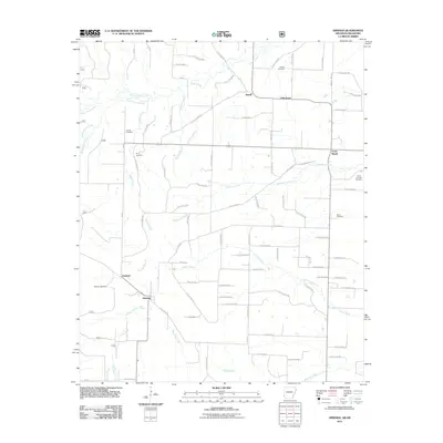 2011 Arkinda2011 Print · USGSThe borderlands of Little River County come into focus in the early 2000s, showing a landscape of timbered stretches and rural settlements. Genealogists can trace family sites at Piney Cemetery, Eastport, and Strawn Cemetery.
 - 2014 Map of Arkinda, 2014 Print
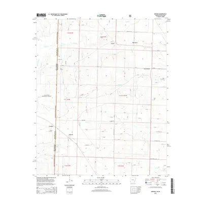 2014 Arkinda2014 Print · USGSThe Arkansas-Oklahoma borderlands in the early twenty-first century reveal a network of rural settlements and forest lands. Genealogists can trace family roots through several local burial grounds including Piney Cem, New Home Cem, and Eastport Cem.
 - 2017 Map of Arkinda, 2017 Print
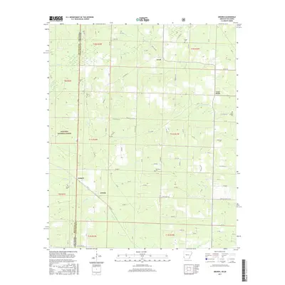 2017 Arkinda2017 Print · USGSThe Arkansas-Oklahoma borderlands come alive in the late twenty-teens, showing the rural landscape of Little River County and McCurtain County. Trace family history through numerous burial sites like Strawn Cem or Green Cem and explore the routes through Arkinda and Jewell.
 - 2020 Map of Arkinda, 2020 Print
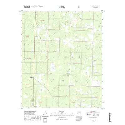 2020 Arkinda2020 Print · USGSThe Oklahoma and Arkansas state line meets in this 2020 survey of Little River County, highlighting a landscape of timberlands and rural crossroads. Local historians can locate numerous burial sites including Piney Cem and Eastport Cem near the community of Arkinda.
 - 2024 Map of Arkinda, 2024 Print
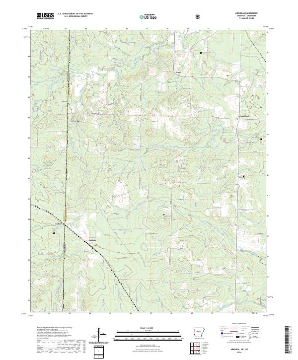 2024 Arkinda2024 Print · USGSThe Arkansas-Oklahoma borderlands appear here in the early twenty-first century, showing the rural communities of Arkinda and Eastport. Genealogists and historians can trace family roots through numerous burial sites like Strawn Cem and Piney Cem.
End of results
Showing maps 1-10 of 10
Top cities near Oak Grove
- De Queen historical maps
- Foreman historical maps
- Horatio historical maps
- Lockesburg historical maps
- Winthrop historical maps
Frequently asked questions
- What are the different types of historical maps available for Oak Grove?
- What is the oldest map of Oak Grove?
- Where can I purchase historical maps of Oak Grove for my home or office?
- Where can I download high-res historical maps of Oak Grove?
- Are there historical topographic maps available for Oak Grove?
- Is there historical aerial imagery available for Oak Grove?
- Where are historical maps of Oak Grove sourced from?