Old Maps of Grayson, Arkansas for Genealogy
Trace your family roots with 17 historic maps of Grayson. These high-res maps reveal old neighborhoods, homesites, landmarks, and streets — helping you uncover where your ancestors lived and how the area evolved over time.
- Explore historic neighborhoods: Identify where your relatives may have lived in the 1800s or 1900s.
- Compare maps over time: Trace the changes in streets, buildings, and landmarks for multi-generational research.
- Perfect for genealogy & ancestry research: Used by family historians and researchers to map out lineage and migration.
These maps are an incredible resource for exploring your personal connection to Grayson's past.
Grayson, AR maps
(17)- 1887 Map of Magazine Mountain #3
 1887 Magazine Mountain #31887 Print · USGSLogan County, Arkansas, appears in the late nineteenth century as a series of pioneer settlements and steep ridgelines. Genealogists and historians can trace early footprints at Booneville and Golden City, or locate the specific topography of Huckleberry Mt. and Chismville.
 - 1887 Map of Magazine Mountain
 1887 Magazine Mountain1887 Print · USGSNorthwest Arkansas in the 1880s is defined here by the river-and-rail economy along the Arkansas River valley. Genealogists and historians can trace long-forgotten post offices like Burnett Springs and early rail stops such as Coal Hill.
 - 1890 Map of Magazine Mountain
 1890 Magazine Mountain1890 Print · USGSThe Arkansas River Valley is captured here in the late nineteenth century as rail transport begins to eclipse river travel. Genealogists can trace early homesteads and community hubs like Paris, Booneville, and the remote Burnett Springs.6 unique versions available
 - 1934 Map of Booneville
 1934 Booneville1934 Print · USGSLogan County during the mid-1930s reveals a network of small Arkansas settlements and mountain ridges connected by the Rock Island line. Researchers can trace family history through sites like the State Sanitarium, Wesley Chapel, and the Rocky Springs Cem.2 unique versions available
 - 1939 Map of Booneville
 1939 Booneville1939 Print · USGSThe Logan County countryside thrives in the 1930s as a crossroads of the Rock Island railroad and the Petit Jean Creek valley. Genealogists can locate family landmarks like Harvel Cem, the State Sanatorium, and local schools including Shady Grove Sch.3 unique versions available
 - 1956 Map of Russellville
 1956 Russellville1956 Print · USGSThe Arkansas River valley and the surrounding Boston Mountains are captured here in the mid-fifties, showing a landscape of small timber towns and new reservoirs. Genealogists can trace family roots through upland settlements like Pelsor and Witts Springs or locate the campus of Arkansas Polytechnic College.2 unique versions available
 - 1964 Map of Russellville
 1964 Russellville1964 Print · USGSMid-century Central Arkansas is defined here by the river-valley towns and the surrounding mountain ranges before the full expansion of the interstate system. Genealogists and historians can trace rail-town development along the Missouri Pacific Railroad and locate landmarks like Arkansas Polytechnic College or Petit Jean State Park.
 - 1977 Map of Russellville
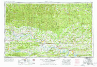 1977 Russellville1977 Print · USGSThe Arkansas River Valley and surrounding Ozark Mountains are documented here during a period of significant postwar growth and infrastructure development. Genealogists and researchers can locate family landmarks such as Mount Carmel Cem, St Josephs Church, and several remote Coal Mine sites along the Missouri Pacific RR line.
 - 1983 Map of Sugar Grove
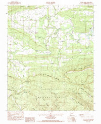 1983 Sugar Grove1983 Print · USGSSugar Grove and the surrounding Ouachita foothills are captured here in the late seventies just before the turn of the decade. Researchers can locate remote family landmarks like the Ethan Davis Cem, Lick Creek Ch, and the crossing at Third Bridge.
 - 1984 Map of Russellville
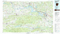 1984 Russellville1984 Print · USGSThe Arkansas River valley in the mid-eighties shows a landscape defined by the rise of Lake Dardanelle and the enduring presence of the Ozark National Forest. Researchers can find historical institutions like Arkansas Tech Univ and Sacred Heart Church or trace the routes of the Missouri Pacific RR.2 unique versions available
 - 1984 Map of Russellville
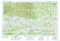 1984 Russellville1984 Print · USGSThe Arkansas River valley was undergoing significant change in the 1950s as transportation and water management reshaped the region from Russellville to Conway. Researchers can trace the era's rail networks like the Missouri Pacific RR and explore landmarks like Magazine Mountain and Petit Jean State Park.
 - 1992 Map of Russellville, 1993 Print
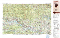 1992 Russellville1993 Print · USGSCentral Arkansas in the early nineties shows a landscape defined by the Arkansas River valley and the surrounding national forests. Trace the development of river towns like Russellville and Dardanelle alongside landmarks such as Lake Dardanelle and Magazine Mtn.
 - 2011 Map of Sugar Grove, 2011 Print
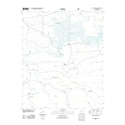 2011 Sugar Grove2011 Print · USGSLogan County at the start of the 2010s reveals a landscape defined by the Petit Jean River and quiet mountain ridges. Genealogists can trace family roots at Bethel Cemetery or Bud Davis Cemetery, while outdoorsmen can locate Knoppers Ford Recreation Area.
 - 2014 Map of Sugar Grove, 2014 Print
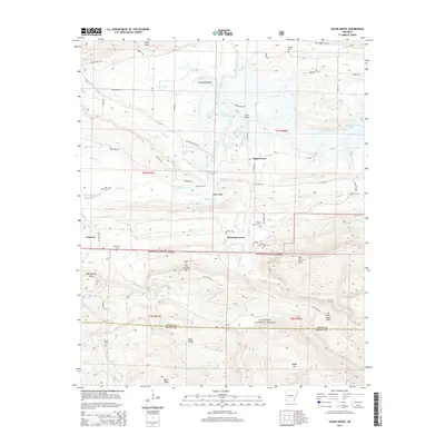 2014 Sugar Grove2014 Print · USGSThe rural communities of Logan and Scott County come into focus during the early twenty-first century, just north of the Ouachita National Forest. Genealogists and historians can trace family roots through numerous local sites like Bethel Cem, Bud Davis Cem, and the crossing at Third Bridge.
 - 2017 Map of Sugar Grove, 2017 Print
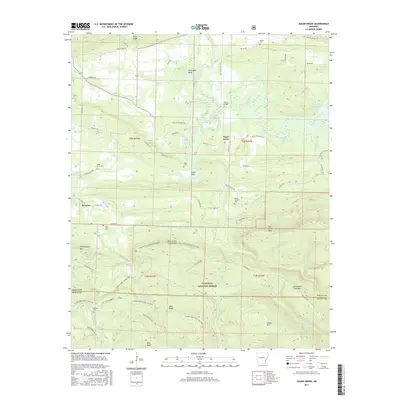 2017 Sugar Grove2017 Print · USGSThe Ouachita foothills near Sugar Grove and Grayson are mapped here in the late twenty-teens. Researchers can locate remote family landmarks and burial sites like Bud Davis Cem, Helton Cem, and the Hole In The Ground Mtn Trail.
 - 2020 Map of Sugar Grove, 2020 Print
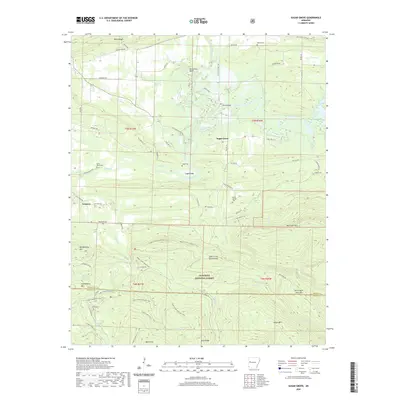 2020 Sugar Grove2020 Print · USGSThe Logan and Scott County line runs through this Arkansas river valley as it appeared in the early 2020s. Genealogists can trace family names through several rural burial grounds, including Logan Cem, Bud Davis Cem, and Helton Cem.
 - 2024 Map of Sugar Grove, 2024 Print
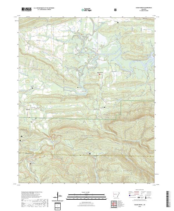 2024 Sugar Grove2024 Print · USGSLogan County's river-bottom lands and Ouachita highlands are detailed here in recent years, showing the area's transition from valley farms to protected wilderness. Genealogists can trace family landmarks like Logan Eddy, Bud Davis Cem, and the quiet community of Sugar Grove.
End of results
Showing maps 1-17 of 17
Top cities near Grayson
- Booneville historical maps
- Waldron historical maps
- Paris historical maps
- Charleston historical maps
- Magazine historical maps
- Blue Mountain historical maps
Frequently asked questions
- What are the different types of historical maps available for Grayson?
- What is the oldest map of Grayson?
- Where can I purchase historical maps of Grayson for my home or office?
- Where can I download high-res historical maps of Grayson?
- Are there historical topographic maps available for Grayson?
- Is there historical aerial imagery available for Grayson?
- Where are historical maps of Grayson sourced from?