2020s Maps of Austin, Arkansas
Explore 6 historic maps of Austin from the 2020s. These maps offer a rare glimpse into what life looked like during the 2020s — showing old roads, neighborhoods, homes, and landmarks that have changed or disappeared over time.
Whether you're researching your family's past, planning a metal detecting trip, or studying how Austin's landscape evolved across the 2020s, these high-resolution maps are a powerful tool for exploring the history of this region.
- Focus on a specific era: All maps on this page are from the 2020s, giving you a focused view of this time period.
- See what’s changed: Compare century-old streets, trails, and buildings to today's modern landscape using overlays and satellite layers.
- Research with precision: Use these maps for genealogy, historical research, land use analysis, or educational projects.
- View, download, or print: Maps are fully viewable online in high resolution, and can be downloaded or printed for your own records.
Start exploring Austin's history through authentic maps from the 2020s. This is your window into the past.
Austin, AR maps
(6)- 2020 Map of Oak Grove, 2020 Print
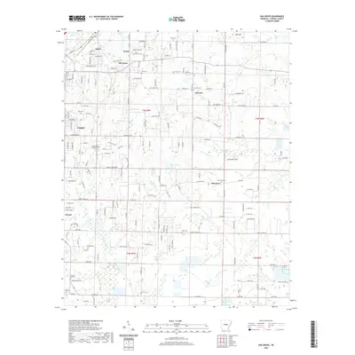 2020 Oak Grove2020 Print · USGSCovers Austin, including Cabot, Ward, and other nearby areas
 - 2020 Map of Beebe, 2020 Print
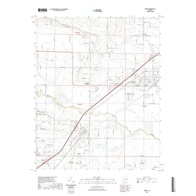 2020 Beebe2020 Print · USGSCovers Austin, including Beebe, Ward, and other nearby areas
 - 2020 Map of Mountain Springs, 2020 Print
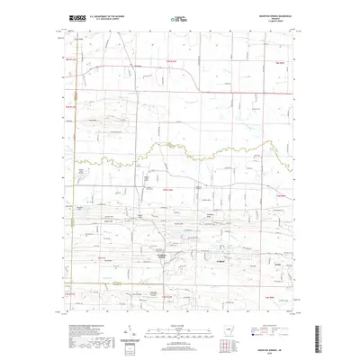 2020 Mountain Springs2020 Print · USGSCovers Austin, including Cabot, Woodlawn Addition, and other nearby areas
 - 2024 Map of Oak Grove, 2024 Print
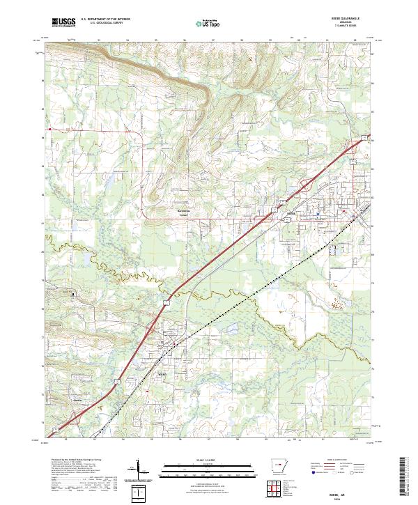
 2024 Oak Grove2024 Print · USGSLonoke County at the present day retains its deep historical roots even as suburban areas like Austin and Cabot expand. Genealogists and local historians can trace family locations through numerous sites such as Camp Nelson, Sylvania Cem, and Old Austin.
 - 2024 Map of Beebe, 2024 Print
 2024 Beebe2024 Print · USGSCentral Arkansas at the start of the 2020s shows a landscape where historic rural settlements meet modern regional growth. Researchers can locate family landmarks like Apple Hill Cem, the campus of Arkansas State University Beebe, and early crossroads at Barentine Corner.
 - 2024 Map of Mountain Springs, 2024 Print
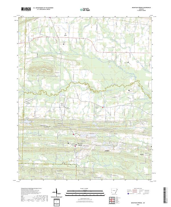 2024 Mountain Springs2024 Print · USGSThe borderlands of Lonoke and White counties are captured here in the 2020s, showing the rural spaces between established towns. Researchers can trace family history at numerous burial sites like Mountain Springs Cem or Barger Cem and locate landmarks like Shurley Field.
End of results
Showing maps 1-6 of 6
Top cities near Austin
- Little Rock historical maps
- North Little Rock historical maps
- Jacksonville historical maps
- Cabot historical maps
- Sherwood historical maps
- Searcy historical maps
See more
Top neighborhoods of Austin
Frequently asked questions
- What are the different types of historical maps available for Austin?
- What is the oldest map of Austin?
- Where can I purchase historical maps of Austin for my home or office?
- Where can I download high-res historical maps of Austin?
- Are there historical topographic maps available for Austin?
- Is there historical aerial imagery available for Austin?
- Where are historical maps of Austin sourced from?