Old Maps of Aurora, Arkansas for Metal Detecting
Plan your next treasure hunt with 12 historic maps of Aurora. Find old homesites, ghost towns, trails, and gathering spots that may be lost to time — perfect for identifying promising metal detecting locations.
- Locate forgotten sites: Uncover places like long-lost settlements, abandoned rail lines, or gathering spots.
- Plan better hunts: Use map overlays combined with LiDAR or satellite views to narrow in on historically rich areas.
- Made for detectorists: Thousands of hobbyists use these maps to discover relics, coins, and hidden history.
Use these historic maps to boost your research and find new opportunities beneath the surface of Aurora.
Aurora, AR maps
(12)- 1956 Map of Russellville
 1956 Russellville1956 Print · USGSThe Arkansas River valley and the surrounding Boston Mountains are captured here in the mid-fifties, showing a landscape of small timber towns and new reservoirs. Genealogists can trace family roots through upland settlements like Pelsor and Witts Springs or locate the campus of Arkansas Polytechnic College.2 unique versions available
 - 1964 Map of Russellville
 1964 Russellville1964 Print · USGSMid-century Central Arkansas is defined here by the river-valley towns and the surrounding mountain ranges before the full expansion of the interstate system. Genealogists and historians can trace rail-town development along the Missouri Pacific Railroad and locate landmarks like Arkansas Polytechnic College or Petit Jean State Park.
 - 1973 Map of Witter, 1976 Print
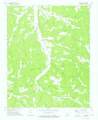 1973 Witter1976 Print · USGSIn the early 1970s, this portion of Madison County remains a landscape of deep hollows and isolated family cemeteries. Researchers can locate remote burial sites like Captain Smiths Cem and follow the branching waters of War Eagle Creek past Witter and Aurora.
 - 1977 Map of Russellville
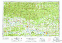 1977 Russellville1977 Print · USGSThe Arkansas River Valley and surrounding Ozark Mountains are documented here during a period of significant postwar growth and infrastructure development. Genealogists and researchers can locate family landmarks such as Mount Carmel Cem, St Josephs Church, and several remote Coal Mine sites along the Missouri Pacific RR line.
 - 1983 Map of Fly Gap Mountain
 1983 Fly Gap Mountain1983 Print · USGSThe high Ozarks in the early eighties were a landscape of deep river valleys and isolated mountain gaps. Researchers can locate remote settlements like Venus and Cass, or trace family sites at Oark Cem, White Rock Cem, and the Pelsor Post Office.
 - 1984 Map of Russellville
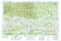 1984 Russellville1984 Print · USGSThe Arkansas River valley was undergoing significant change in the 1950s as transportation and water management reshaped the region from Russellville to Conway. Researchers can trace the era's rail networks like the Missouri Pacific RR and explore landmarks like Magazine Mountain and Petit Jean State Park.
 - 1992 Map of Russellville, 1993 Print
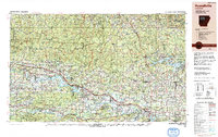 1992 Russellville1993 Print · USGSCentral Arkansas in the early nineties shows a landscape defined by the Arkansas River valley and the surrounding national forests. Trace the development of river towns like Russellville and Dardanelle alongside landmarks such as Lake Dardanelle and Magazine Mtn.
 - 2011 Map of Witter, 2011 Print
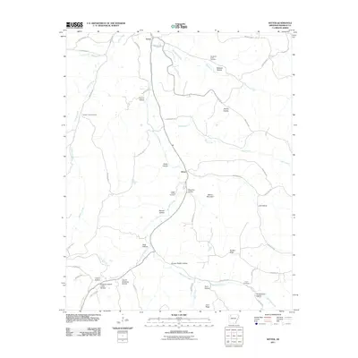 2011 Witter2011 Print · USGSMadison County at the turn of the decade is documented here as a network of deep-cut hollows and ancestral cemeteries. Genealogists can trace family connections through sites like Captain Smiths Cemetery and named locales such as Hoxey Hollow.
 - 2014 Map of Witter, 2014 Print
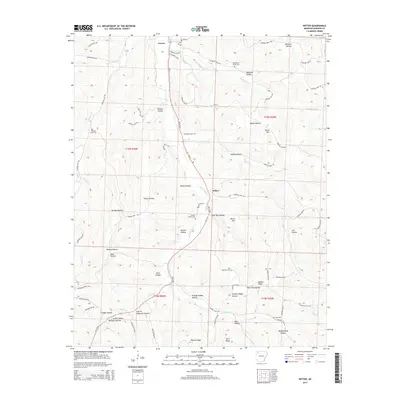 2014 Witter2014 Print · USGSMadison County in the 2010s shows a landscape where small Ozark communities like Aurora and Witter remain closely tied to the valleys. Researchers can locate family landmarks such as Captain Smiths Cem, Nubbin Ridge, and Jackie Hollow Williams Hollow.
 - 2017 Map of Witter, 2017 Print
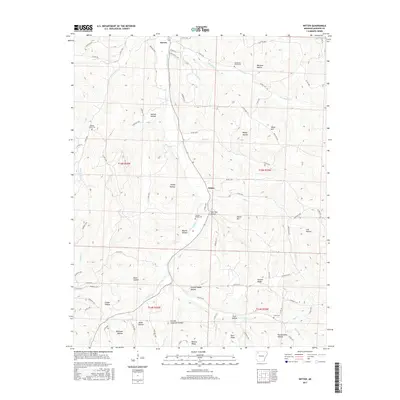 2017 Witter2017 Print · USGSMadison County's Ozark foothills are shown here in the 2010s, where small settlements like Witter and Aurora follow the winding creek valleys. Researchers can trace family history through numerous named landmarks like Captain Smiths Cemetery and Granny Paddin Hollow.
 - 2020 Map of Witter, 2020 Print
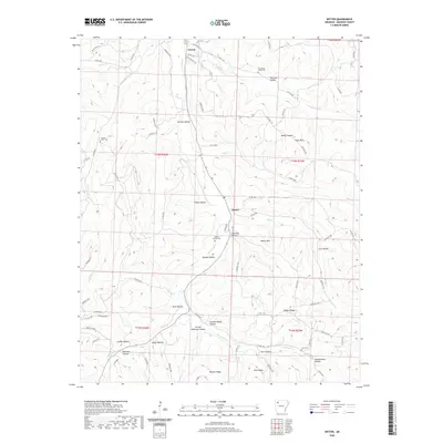 2020 Witter2020 Print · USGSMadison County's rural character is preserved in this modern look at the Ozark foothills, where the communities of Aurora and Witter still center on the valley floor. Researchers can trace family sites at Captain Smiths Cem, Cove Cem, and the uniquely named Pennywinkle Hollow.
 - 2024 Map of Witter, 2024 Print
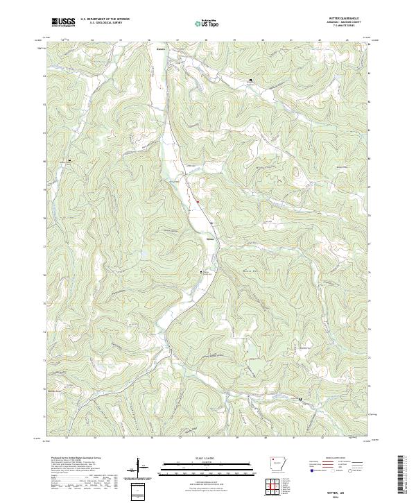 2024 Witter2024 Print · USGSMadison County's rugged ridge-and-valley landscape is documented here in the 2020s, centered on the historic settlements of Witter and Aurora. Local researchers can trace family roots through upland burial sites like Captain Smiths Cem and the winding course of War Eagle Creek.
End of results
Showing maps 1-12 of 12
Top cities near Aurora
Frequently asked questions
- What are the different types of historical maps available for Aurora?
- What is the oldest map of Aurora?
- Where can I purchase historical maps of Aurora for my home or office?
- Where can I download high-res historical maps of Aurora?
- Are there historical topographic maps available for Aurora?
- Is there historical aerial imagery available for Aurora?
- Where are historical maps of Aurora sourced from?