2000s (21st Century) Maps of Pyatt, Arkansas
Explore 10 historic maps of Pyatt from the 2000s (21st Century). These maps offer a rare glimpse into what life looked like during the 2000s — showing old roads, neighborhoods, homes, and landmarks that have changed or disappeared over time.
Whether you're researching your family's past, planning a metal detecting trip, or studying how Pyatt's landscape evolved across the 2000s, these high-resolution maps are a powerful tool for exploring the history of this region.
- Focus on a specific era: All maps on this page are from the 2000s, giving you a focused view of this time period.
- See what’s changed: Compare century-old streets, trails, and buildings to today's modern landscape using overlays and satellite layers.
- Research with precision: Use these maps for genealogy, historical research, land use analysis, or educational projects.
- View, download, or print: Maps are fully viewable online in high resolution, and can be downloaded or printed for your own records.
Start exploring Pyatt's history through authentic maps from the 2000s. This is your window into the past.
Pyatt, AR maps
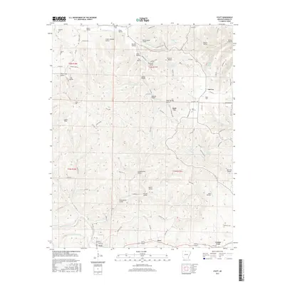
(10)- 2011 Map of Pyatt, 2011 Print
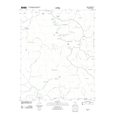 2011 Pyatt2011 Print · USGSCovers Pyatt, including Snow, Lakeway, and other nearby areas
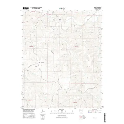
 - 2011 Map of Bruno, 2011 Print
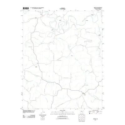 2011 Bruno2011 Print · USGSCovers Pyatt, including Powell, Eros, and other nearby areas
 - 2014 Map of Pyatt, 2014 Print
 2014 Pyatt2014 Print · USGSCovers Pyatt, including Snow, Lakeway, and other nearby areas
 - 2014 Map of Bruno, 2014 Print
 2014 Bruno2014 Print · USGSCovers Pyatt, including Powell, Eros, and other nearby areas
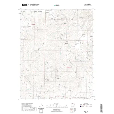
 - 2017 Map of Pyatt, 2017 Print
 2017 Pyatt2017 Print · USGSCovers Pyatt, including Snow, Lakeway, and other nearby areas
 - 2017 Map of Bruno, 2017 Print
 2017 Bruno2017 Print · USGSCovers Pyatt, including Powell, Eros, and other nearby areas
 - 2020 Map of Bruno, 2020 Print
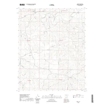 2020 Bruno2020 Print · USGSCovers Pyatt, including Powell, Eros, and other nearby areas
 - 2020 Map of Pyatt, 2020 Print
 2020 Pyatt2020 Print · USGSCovers Pyatt, including Snow, Lakeway, and other nearby areas
 - 2024 Map of Pyatt, 2024 Print
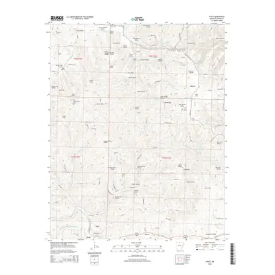
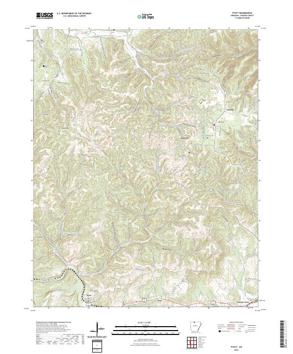 2024 Pyatt2024 Print · USGSMarion County's Ozark plateau is captured in the modern era, showing the deep-cut hollows and ridges that have shaped this region for generations. Researchers can locate family landmarks like Derryberry Cemetery or trace the drainage of Crooked Creek and Sugar Orchard Creek.
 - 2024 Map of Bruno, 2024 Print
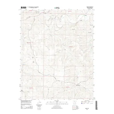
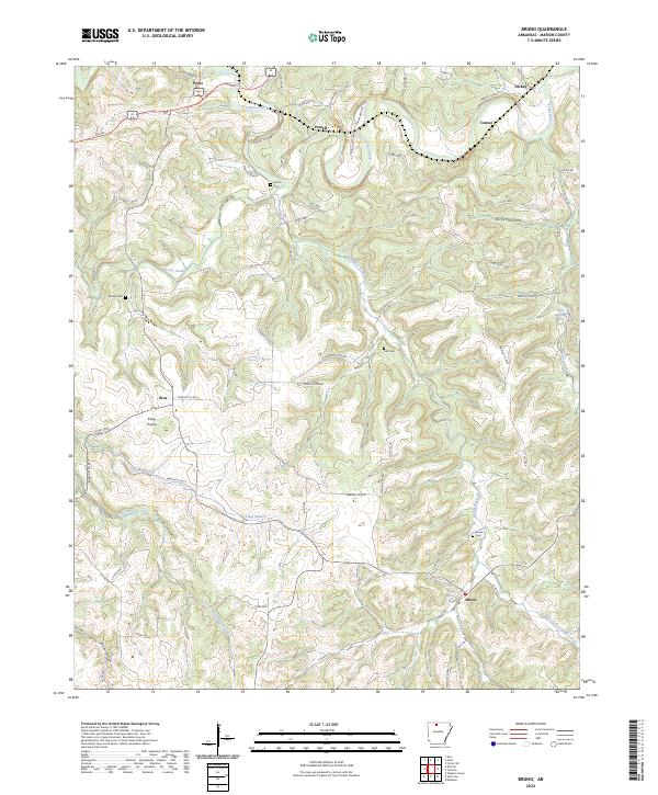 2024 Bruno2024 Print · USGSMarion County in the 2020s remains a landscape of quiet Ozark hollows and upland prairies. Researchers can trace family roots through sites like Bruno Cem and Patton Cem while exploring the rural roads of Eros, Powell, and Turkey.
End of results
Showing maps 1-10 of 10
Top cities near Pyatt
- Harrison historical maps
- Bull Shoals historical maps
- Yellville historical maps
- Diamond City historical maps
- Summit historical maps
- Bellefonte historical maps
See more
Frequently asked questions
- What are the different types of historical maps available for Pyatt?
- What is the oldest map of Pyatt?
- Where can I purchase historical maps of Pyatt for my home or office?
- Where can I download high-res historical maps of Pyatt?
- Are there historical topographic maps available for Pyatt?
- Is there historical aerial imagery available for Pyatt?
- Where are historical maps of Pyatt sourced from?