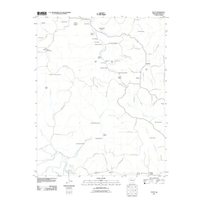
2011 Map of Pyatt
USGS Topo · Published 2011About this map
Dodd City and the surrounding timber and mineral lands of Marion County define this landscape as it appeared in the early 21st century. The map reveals a history of extraction through scattered sites such as the Markle Mine, Copperhead Mine, and Bear Hill Mine. These operations are interspersed with numerous family-named hollows, including Mining House Hollow and Pannell Hollow, illustrating the local convergence of industry and settlement.
Find a feature on this map
92 named features on this map. Tap any name to fly to it.
Don’t see what you’re looking for? This feature index may not catch every label — zoom into the map to look around manually.
Map Details
Editions of this 2011 Pyatt Map
This is the sole edition of this map. No revisions or reprints were ever made.
Other maps of this area

1893 · Yellville
USGS Topo · 1:125,000

1903 · Yellville
USGS Topo · 1:125,000

1905 · Yellville
USGS Topo · 1:125,000

1929 · Yellville
USGS Topo · 1:125,000

1945 · Harrison
USGS Topo · 1:250,000

1949 · Harrison
USGS Topo · 1:250,000

1954 · Harrison
USGS Topo · 1:250,000

1958 · Harrison
USGS Topo · 1:250,000

1964 · Harrison
USGS Topo · 1:250,000
1966 · Yellville
USGS Topo · 1:24,000