
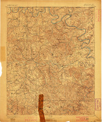
1903 Map of Yellville
USGS Topo · Published 1903About this map
The White River and Buffalo River corridors anchor this 1903 survey of North Central Arkansas, revealing a landscape defined by river-based transit before the era of major dams. At the heart of Marion County, Yellville serves as a primary hub, surrounded by smaller agrarian and mining outposts such as Dodd City and Monarch. The intricate topography of the Ozarks is marked by numerous water crossings, including Denton Ferry, Longs Ferry, and Buck Shoals Ford, which were essential for connecting isolated settlements across the winding river bends like Hog Thief Bend.
Find a feature on this map
86 named features on this map. Tap any name to fly to it.
Don’t see what you’re looking for? This feature index may not catch every label — zoom into the map to look around manually.
Map Details
Editions of this 1903 Yellville Map
This is the sole edition of this map. No revisions or reprints were ever made.
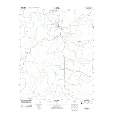
Historical Maps of Bull Shoals Through Time
10 maps found
1893 Yellville
Marion County, AR
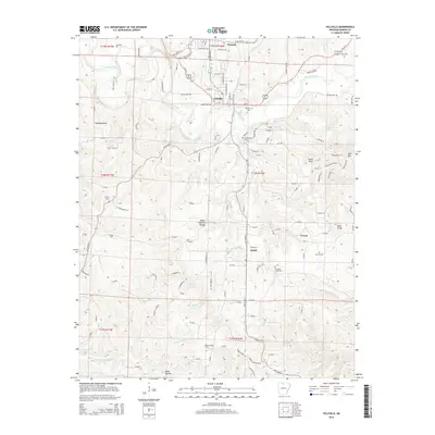
1903 Yellville
Marion County, AR
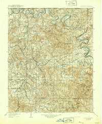
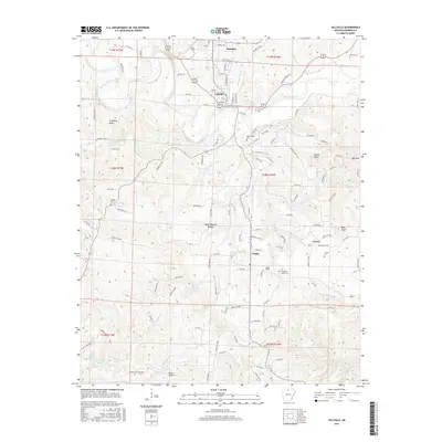
1905 Yellville
Marion County, AR

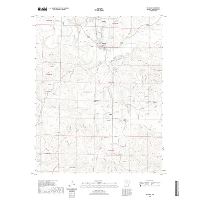
1929 Yellville
Marion County, AR
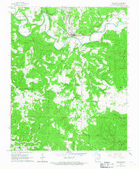
1966 Yellville
Marion County, AR
2011 Yellville
Marion County, AR
2014 Yellville
Marion County, AR
2017 Yellville
Marion County, AR
2020 Yellville
Marion County, AR
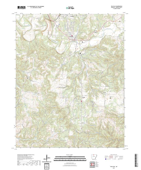
2024 Yellville
Marion County, AR