
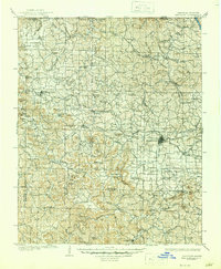
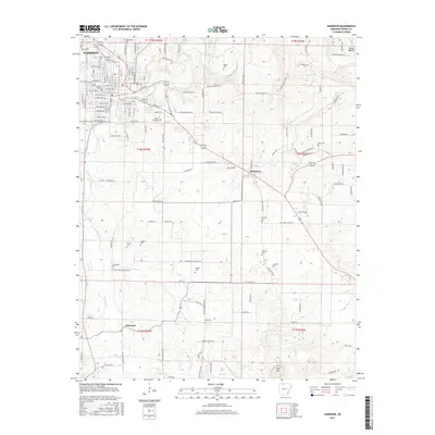
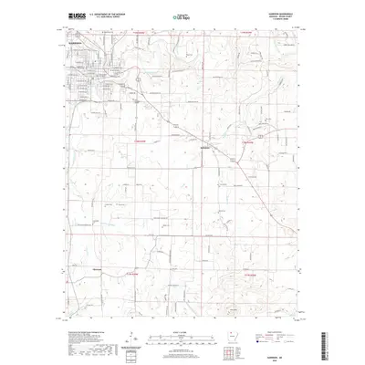
1949 Map of Harrison
USGS Topo · Published 1949About this map
The Ozark Plateau and Boston Mountains dominate this 1949 survey, which captures the White River region before significant modern reservoir development altered the river's path. At the heart of the map, Harrison serves as a primary hub, while the railroad network of the St. Louis - San Francisco RR and the Missouri & Arkansas RR links agricultural and timber settlements like Cassville, Aurora, and Monett. Extensive public lands including the Mark Twain National Forest Pond Fork Division and the Ozark National Forest reflect the mid-century conservation landscape of southern Missouri and northern Arkansas.
Find a feature on this map
196 named features on this map. Tap any name to fly to it.
Don’t see what you’re looking for? This feature index may not catch every label — zoom into the map to look around manually.
Map Details
Editions of this 1949 Harrison Map
This is the sole edition of this map. No revisions or reprints were ever made.
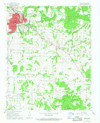
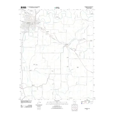
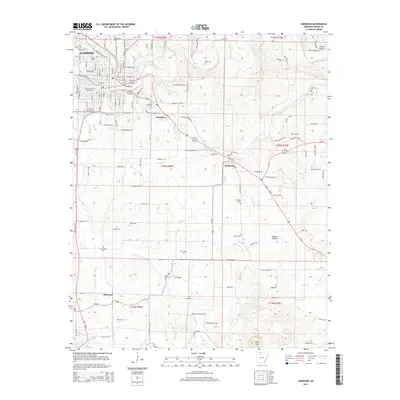
Historical Maps of Ozark Through Time
15 maps found

1904 Harrison
Boone County, AR
1905 Harrison
Boone County, AR

1945 Harrison
Boone County, AR
1949 Harrison
Boone County, AR

1954 Harrison
Boone County, AR

1958 Harrison
Boone County, AR

1964 Harrison
Boone County, AR
1967 Harrison
Boone County, AR

1985 Harrison
Boone County, AR

1985 Harrison
Boone County, AR
2011 Harrison
Boone County, AR
2014 Harrison
Boone County, AR
2017 Harrison
Boone County, AR
2020 Harrison
Boone County, AR
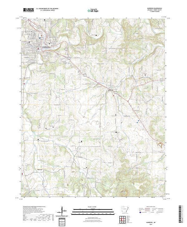
2024 Harrison
Boone County, AR