
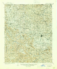
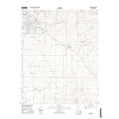
1958 Map of Harrison
USGS Topo · Published 1973About this map
Table Rock Lake and Bull Shoals Lake dominate this mid-century view of the White River basin, reflecting an era of massive hydrological change across the Ozark Mountains. This survey captures the region as the newly completed impoundments transformed the landscape into a recreational and hydroelectric hub, while established towns like Harrison and Mountain Home served as gateways to the deep river valleys. Further west, the map details the terrain surrounding Eureka Springs and the preserved grounds of Pea Ridge National Military Park.
Find a feature on this map
113 named features on this map. Tap any name to fly to it.
Don’t see what you’re looking for? This feature index may not catch every label — zoom into the map to look around manually.
Map Details
Editions of this 1958 Harrison Map
This is the sole edition of this map. No revisions or reprints were ever made.
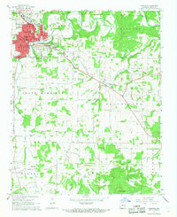
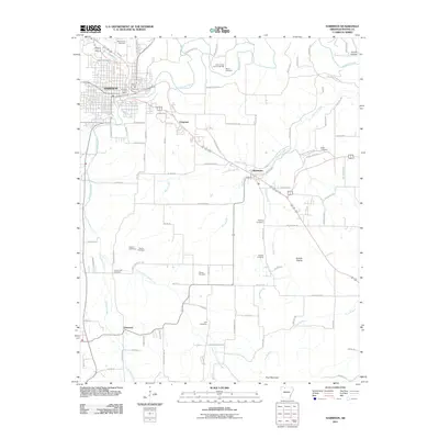
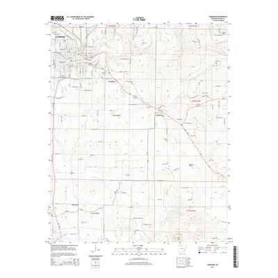
Historical Maps of Ozark Through Time
15 maps found

1904 Harrison
Boone County, AR
1905 Harrison
Boone County, AR

1945 Harrison
Boone County, AR

1949 Harrison
Boone County, AR

1954 Harrison
Boone County, AR
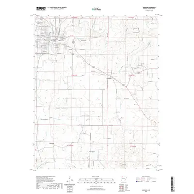
1958 Harrison
Boone County, AR

1964 Harrison
Boone County, AR
1967 Harrison
Boone County, AR

1985 Harrison
Boone County, AR

1985 Harrison
Boone County, AR
2011 Harrison
Boone County, AR
2014 Harrison
Boone County, AR
2017 Harrison
Boone County, AR
2020 Harrison
Boone County, AR
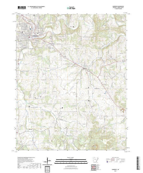
2024 Harrison
Boone County, AR