
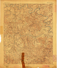
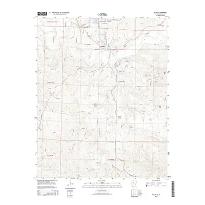
1929 Map of Yellville
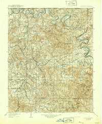
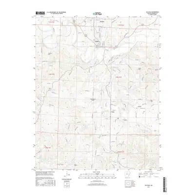
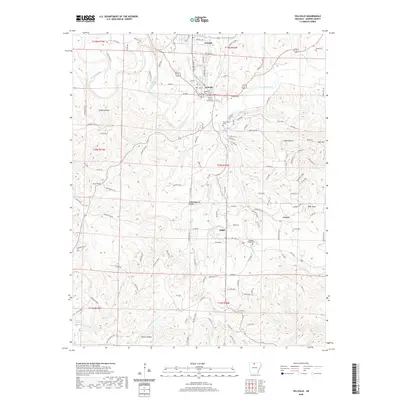
USGS Topo · Published 1954About this map
The White River and Buffalo River corridors dominate this Marion County landscape, recorded before mid-century dam projects altered the Ozark waterways. This survey reflects a river-and-rail economy where ferries and shoals served as critical transit points across the winding bends of the White River. Prominent crossings such as Keesee Ferry, Whites Ferry, and Denton Ferry are noted alongside river landmarks like Ma Bee Landing and Hog Thief Bend.
Find a feature on this map
147 named features on this map. Tap any name to fly to it.
Don’t see what you’re looking for? This feature index may not catch every label — zoom into the map to look around manually.
Map Details
Editions of this 1929 Yellville Map
This is the sole edition of this map. No revisions or reprints were ever made.
Historical Maps of Bull Shoals Through Time
10 maps found
1893 Yellville
Marion County, AR

1903 Yellville
Marion County, AR
1905 Yellville
Marion County, AR
1929 Yellville
Marion County, AR
1966 Yellville
Marion County, AR
2011 Yellville
Marion County, AR
2014 Yellville
Marion County, AR
2017 Yellville
Marion County, AR
2020 Yellville
Marion County, AR
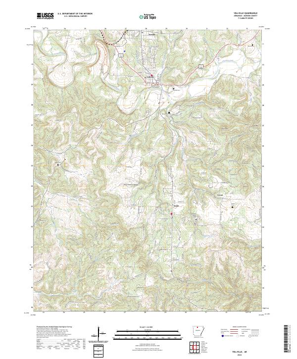
2024 Yellville
Marion County, AR