Old Maps of Nodena, Arkansas
Explore 12 old maps of Nodena, spanning from 1956 to today. These high-resolution historic maps reveal how streets, neighborhoods, landmarks, and natural features evolved over time — perfect for genealogy, metal detecting, research, and local history exploration.
What you can do with these maps:
- See how Nodena changed over time: Compare historical maps to modern-day views to trace roads, homesites, rail lines & more.
- View detailed metadata: Each map includes creators, publishers, year, scale, and archive source.
- Overlay maps with satellite & LiDAR: Visualize the past alongside modern tools to explore terrain & human change.
- Trusted historical sources: Maps sourced from the USGS, Library of Congress, and other archives.
- Access maps your way: View online, download high-res files, or order prints for personal or research use.
Start exploring old maps of Nodena to uncover forgotten places, hidden landmarks, and the deep history beneath your feet.
Nodena, AR maps
(12)- 1956 Map of Blytheville, 1964 Print
 1956 Blytheville1964 Print · USGSWest Tennessee and the Arkansas Delta come alive in this mid-century survey of the river-and-rail corridor connecting Memphis to Jackson. Genealogists and historians can trace the rail lines of the Louisville and Nashville RR and locate landmarks like Western State Hospital or Fort Pillow State Prison Farm.2 unique versions available
 - 1959 Map of Blytheville
 1959 Blytheville1959 Print · USGSWest Tennessee and Northeast Arkansas meet along the river in the late fifties, during a period of steady industrial and agricultural growth. Genealogists can trace the rail corridors of the Illinois Central through Jackson or explore landmarks like Shiloh National Military Park and Fort Pillow State Prison.
 - 1963 Map of Osceola, 1966 Print
 1963 Osceola1966 Print · USGSThe river borders of Tennessee and Arkansas meet along the bends of the Mississippi in the early sixties. Genealogists and historians can trace riverside settlements like Golddust and Randolph, or locate rural landmarks like Raven Cross Cem and St Johns Ch.
 - 1965 Map of Osceola
 1965 Osceola1965 Print · USGSOsceola and the Mississippi River bottomlands are captured here in the mid-sixties, showing the complex boundary between Arkansas and Tennessee. Researchers can trace family roots through numerous rural landmarks like Golddust Ch & Sch, Grider, and Smyrna Ch.
 - 1972 Map of Nodena, 1975 Print
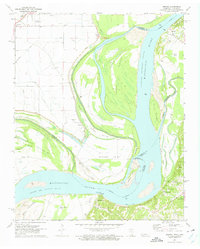 1972 Nodena1975 Print · USGSThe Mississippi River's shifting path in the 1970s defines this borderland between Tennessee and Arkansas. Trace family roots and vanished landmarks through Old Randolph Cem, the riverside settlement of Nodena, and the strategic Chickasaw Bluff No 1.2 unique versions available
 - 1977 Map of Osceola
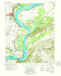 1977 Osceola1977 Print · USGSThe Mississippi Delta's winding riverborder comes alive in the 1970s, showing the complex interaction of the Mississippi River and the riverfront communities. Genealogists and local historians can locate many rural landmarks, from Nodena Cem and Mississippi County Memorial Gardens to the river-bluff heights of Fort Pillow State Park.
 - 1986 Map of Blytheville
 1986 Blytheville1986 Print · USGSThe Arkansas-Tennessee borderlands appear here in the mid-eighties, centered on the mighty Mississippi River and its shifting islands. Trace the footprints of Blytheville Air Force Base, old river towns like Golddust, and the extensive grounds of the Fort Pillow State Prison Farm.2 unique versions available
 - 2011 Map of Nodena, 2011 Print
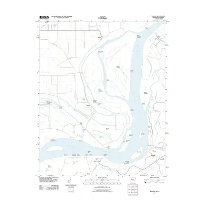 2011 Nodena2011 Print · USGSThe riverfronts of Arkansas and Tennessee meet here along the Mississippi during the early twenty-first century. Researchers can trace historic river landings and burial grounds such as Old Randolph Cemetery, Nodena, and Saw Mill Landing.
 - 2014 Map of Nodena, 2014 Print
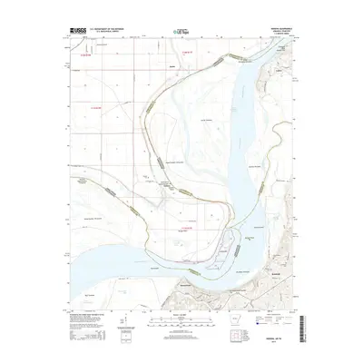 2014 Nodena2014 Print · USGSThe Tennessee-Arkansas state line winds through the Mississippi riverbanks and high bluffs during the early twenty-first century. Genealogists can trace family heritage at Old Randolph Cem and Nodena Cem or locate the riverside settlements of Randolph and Richardsons.
 - 2017 Map of Nodena, 2017 Print
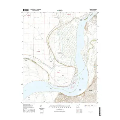 2017 Nodena2017 Print · USGSThe Mississippi River borderlands between Arkansas and Tennessee are shown here in detail during the twenty-first century. Researchers can trace historic river landings and burial grounds such as Old Randolph Cem, Randolph, and Chickasaw Bluff Number One.
 - 2020 Map of Nodena, 2020 Print
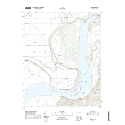 2020 Nodena2020 Print · USGSThe riverfronts of Lauderdale and Tipton Counties are captured here during a time of modern rural life along the Mississippi. Genealogists can locate family sites at Old Randolph Cem and Nodena Cem, or trace the winding course of the Hatchie River.
 - 2024 Map of Nodena, 2024 Print
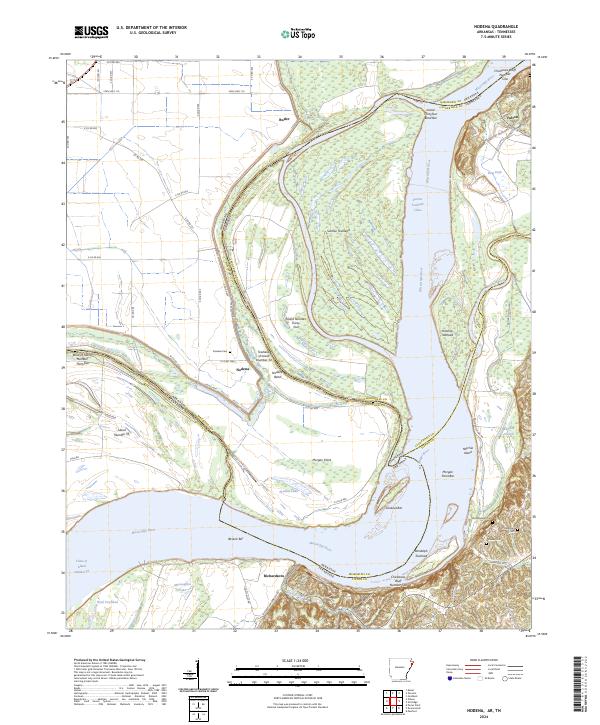 2024 Nodena2024 Print · USGSThe winding border of Arkansas and Tennessee comes alive in this survey of the Mississippi River floodplain and the high ground of the Chickasaw Bluffs. Genealogists can trace family sites at Nodena Cem and Old Randolph Cem or explore the river landings at Richardsons.
End of results
Showing maps 1-12 of 12
Top cities near Nodena
- Millington historical maps
- Osceola historical maps
- Atoka historical maps
- Munford historical maps
- Brighton historical maps
- Luxora historical maps
See more
Frequently asked questions
- What are the different types of historical maps available for Nodena?
- What is the oldest map of Nodena?
- Where can I purchase historical maps of Nodena for my home or office?
- Where can I download high-res historical maps of Nodena?
- Are there historical topographic maps available for Nodena?
- Is there historical aerial imagery available for Nodena?
- Where are historical maps of Nodena sourced from?