Old Maps of Norman, Arkansas for Hiking & Exploration
Hike through history with 15 historic maps of Norman. Explore old trails, ghost towns, and forgotten backroads — perfect for outdoor adventurers and local explorers.
- Rediscover forgotten places: Map out old mining camps, roads, and footpaths that no longer exist on modern maps.
- Layer with modern tools: Combine with LiDAR or satellite views to plan hikes through historical terrain.
- Made for exploration: Popular among hikers, overlanders, and local history lovers.
Use these maps to find adventure and explore the hidden past of Norman.
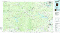
Norman, AR maps
(15)- 1906 Map of Caddo Gap
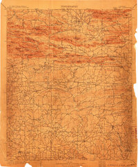 1906 Caddo Gap1906 Print · USGSWest-central Arkansas at the dawn of the twentieth century shows a rugged landscape defined by the Ouachita ridges and early mountain industries. Researchers can trace defunct mining communities like Slatington and Fancy Hill, or locate long-gone railway stops at Hickory Station and Brocktown.3 unique versions available
 - 1936 Map of Glenwood
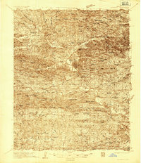 1936 Glenwood1936 Print · USGSThe Montgomery and Pike county borders meet in this mid-1930s survey of the Arkansas timber and mountain country. Researchers can trace the Missouri Pacific rail line through Glenwood and locate family landmarks like Shockey Chapel and Jones Mill.
 - 1942 Map of Glenwood
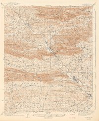 1942 Glenwood1942 Print · USGSThe Ouachita foothills in the mid-1930s are captured here as timber and rail lines defined the valleys around Glenwood. Researchers can trace old family sites and rural infrastructure like the Womble Ranger Sta, Caddo Hill Sch, and Oak Grove Ch.4 unique versions available
 - 1949 Map of Glenwood, 1983 Print
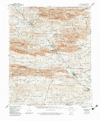 1949 Glenwood1983 Print · USGSThe Ouachita highlands of southwest Arkansas are shown here during the late 1930s, as timber railroads and mountain communities defined the region. Researchers can trace family roots at Shockey Chapel, Caddo Hill Sch, or along the Missouri Pacific rail line.
 - 1955 Map of Little Rock, 1978 Print
 1955 Little Rock1978 Print · USGSCentral Arkansas in the mid-fifties exhibits a landscape of growing cities, massive military installations, and mountain reservoirs. Genealogists and historians can trace the industrial Bauxite Mines, regional rail lines, and local landmarks like Antioch Church.
 - 1956 Map of Little Rock
 1956 Little Rock1956 Print · USGSCentral Arkansas in the mid-fifties shows a landscape defined by burgeoning military bases and the timber-and-mineral wealth of the Ouachitas. Genealogists and researchers can trace old rail lines like the Missouri Pacific and find established communities such as Bauxite, Sheridan, and Mabelvale.
 - 1960 Map of Little Rock
 1960 Little Rock1960 Print · USGSCentral Arkansas in the late fifties shows a landscape of growing military bases and massive new reservoirs. Local historians can trace the mid-century expansion of Little Rock and Hot Springs alongside the industrial works at Bauxite and the Pine Bluff Arsenal.
 - 1964 Map of Little Rock
 1964 Little Rock1964 Print · USGSCentral Arkansas in the mid-sixties is a landscape of mountain ridges, industrial rail lines, and growing military hubs. Researchers can trace the development of Bauxite and Hot Springs or locate rural landmarks like Sparkman and the Pine Bluff Arsenal.
 - 1979 Map of Norman, 1980 Print
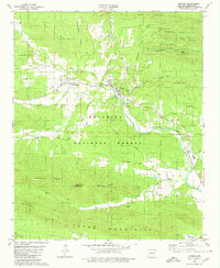 1979 Norman1980 Print · USGSMontgomery County was a landscape of forested ridges and river valleys in the late 1970s. Researchers can trace the path of the Missouri Pacific railroad through Norman or find local landmarks like Caddo Hills Sch and the Chapel Cem.
 - 1986 Map of Arkadelphia
 1986 Arkadelphia1986 Print · USGSSouthwest Arkansas in the mid-eighties shows a landscape of timbered ridges and significant new reservoirs. Researchers can trace rural schoolhouses and churches like Sunshine Sch and Hempwallace Ch alongside the famous Crater of Diamonds State Park.2 unique versions available
 - 2011 Map of Norman, 2011 Print
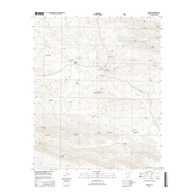
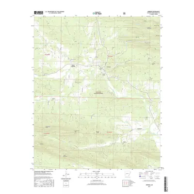
 2011 Norman2011 Print · USGSCovers Norman, including Black Springs, Manfred, and other nearby areas
 - 2014 Map of Norman, 2014 Print
 2014 Norman2014 Print · USGSCovers Norman, including Black Springs, Manfred, and other nearby areas
 - 2017 Map of Norman, 2017 Print
 2017 Norman2017 Print · USGSCovers Norman, including Black Springs, Manfred, and other nearby areas
 - 2020 Map of Norman, 2020 Print
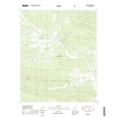 2020 Norman2020 Print · USGSCovers Norman, including Black Springs, Manfred, and other nearby areas
 - 2024 Map of Norman, 2024 Print
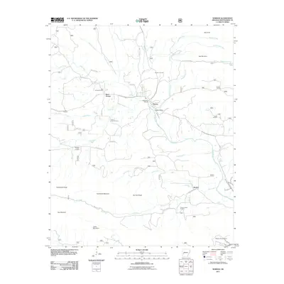
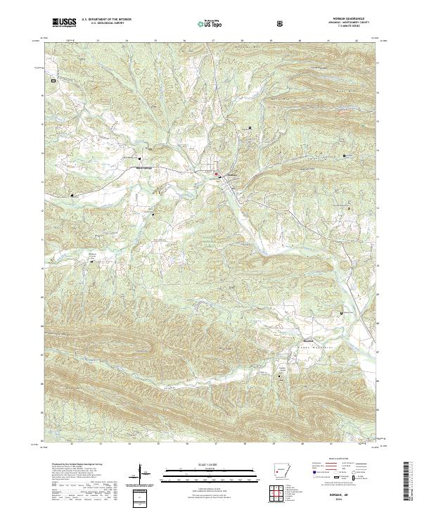 2024 Norman2024 Print · USGSThe Ouachita highlands of Montgomery County are shown here in modern detail, where the Caddo River flows between the Caddo Mountains and Crystal Mountains. Researchers can find several family-named burial sites including Black Springs Cem, Rowton Cem, and Robbins Cem.
End of results
Showing maps 1-15 of 15
Top cities near Norman
- Mount Ida historical maps
- Amity historical maps
- Oden historical maps
- Black Springs historical maps
- Daisy historical maps
Frequently asked questions
- What are the different types of historical maps available for Norman?
- What is the oldest map of Norman?
- Where can I purchase historical maps of Norman for my home or office?
- Where can I download high-res historical maps of Norman?
- Are there historical topographic maps available for Norman?
- Is there historical aerial imagery available for Norman?
- Where are historical maps of Norman sourced from?