Old Maps of Lurton, Arkansas
Explore 15 old maps of Lurton, spanning from 1933 to today. These high-resolution historic maps reveal how streets, neighborhoods, landmarks, and natural features evolved over time — perfect for genealogy, metal detecting, research, and local history exploration.
What you can do with these maps:
- See how Lurton changed over time: Compare historical maps to modern-day views to trace roads, homesites, rail lines & more.
- View detailed metadata: Each map includes creators, publishers, year, scale, and archive source.
- Overlay maps with satellite & LiDAR: Visualize the past alongside modern tools to explore terrain & human change.
- Trusted historical sources: Maps sourced from the USGS, Library of Congress, and other archives.
- Access maps your way: View online, download high-res files, or order prints for personal or research use.
Start exploring old maps of Lurton to uncover forgotten places, hidden landmarks, and the deep history beneath your feet.
Lurton, AR maps
(15)- 1933 Map of Mt Judea, 1970 Print
 1933 Mt Judea1970 Print · USGSNewton County's mountain communities were still deeply isolated during the early 1930s, connected by winding roads through the Boston Mountains. Genealogists can locate family homesteads near numerous local institutions like Union Hill Sch or the remote Macedonia Sch.
 - 1940 Map of Mt Judea
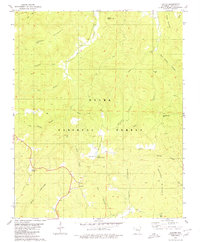
 1940 Mt Judea1940 Print · USGSThe high ridges of the Arkansas Ozarks appear here in the early 1940s, showing a landscape of isolated mountain settlements and national forest land. Researchers can find many rural landmarks, from Diamond Cave and Mt Judea to the Smith Cem and Deer Fire Tower.3 unique versions available
 - 1956 Map of Russellville
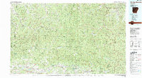
 1956 Russellville1956 Print · USGSThe Arkansas River valley and the surrounding Boston Mountains are captured here in the mid-fifties, showing a landscape of small timber towns and new reservoirs. Genealogists can trace family roots through upland settlements like Pelsor and Witts Springs or locate the campus of Arkansas Polytechnic College.2 unique versions available
 - 1964 Map of Russellville
 1964 Russellville1964 Print · USGSMid-century Central Arkansas is defined here by the river-valley towns and the surrounding mountain ranges before the full expansion of the interstate system. Genealogists and historians can trace rail-town development along the Missouri Pacific Railroad and locate landmarks like Arkansas Polytechnic College or Petit Jean State Park.
 - 1974 Map of Mt Judea SE, 1975 Print
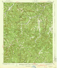
 1974 Mt Judea SE1975 Print · USGSNewton County in the mid-1970s is seen through a high-altitude lens, showing the Ozark highland clearings and timbered ridges. Genealogists and historians can trace the settlement at Lurton and the natural drainages of Big Creek and Richland Creek.
 - 1977 Map of Russellville
 1977 Russellville1977 Print · USGSThe Arkansas River Valley and surrounding Ozark Mountains are documented here during a period of significant postwar growth and infrastructure development. Genealogists and researchers can locate family landmarks such as Mount Carmel Cem, St Josephs Church, and several remote Coal Mine sites along the Missouri Pacific RR line.
 - 1980 Map of Lurton
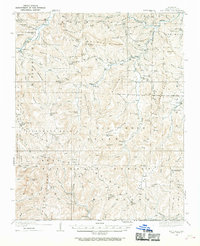
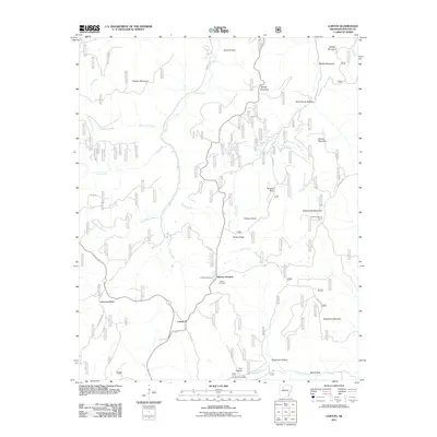
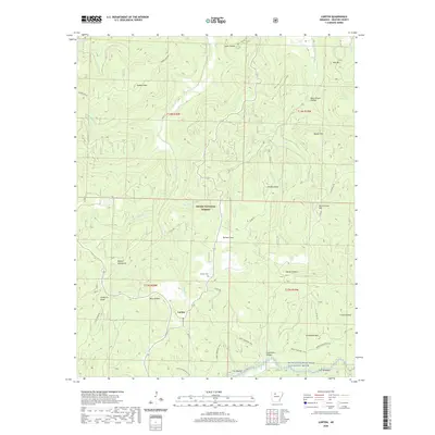
 1980 Lurton1980 Print · USGSThe Boston Mountains of Newton County appear in high detail during the late 1970s, showcasing the isolated high-altitude settlements of the Ozarks. Researchers can trace family sites at Tarlton Flats, Lurton, and Spence Junction, or locate the hilltop Tarlton Cem.3 unique versions available
 - 1983 Map of Fly Gap Mountain
 1983 Fly Gap Mountain1983 Print · USGSThe high Ozarks in the early eighties were a landscape of deep river valleys and isolated mountain gaps. Researchers can locate remote settlements like Venus and Cass, or trace family sites at Oark Cem, White Rock Cem, and the Pelsor Post Office.
 - 1984 Map of Russellville
 1984 Russellville1984 Print · USGSThe Arkansas River valley was undergoing significant change in the 1950s as transportation and water management reshaped the region from Russellville to Conway. Researchers can trace the era's rail networks like the Missouri Pacific RR and explore landmarks like Magazine Mountain and Petit Jean State Park.
 - 1992 Map of Russellville, 1993 Print
 1992 Russellville1993 Print · USGSCentral Arkansas in the early nineties shows a landscape defined by the Arkansas River valley and the surrounding national forests. Trace the development of river towns like Russellville and Dardanelle alongside landmarks such as Lake Dardanelle and Magazine Mtn.
 - 2011 Map of Lurton, 2011 Print
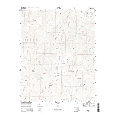
 2011 Lurton2011 Print · USGSCovers Lurton, including Spence Junction, Newton County, and other nearby areas
 - 2014 Map of Lurton, 2014 Print
 2014 Lurton2014 Print · USGSCovers Lurton, including Spence Junction, Newton County, and other nearby areas
 - 2017 Map of Lurton, 2017 Print
 2017 Lurton2017 Print · USGSCovers Lurton, including Spence Junction, Newton County, and other nearby areas
 - 2020 Map of Lurton, 2020 Print
 2020 Lurton2020 Print · USGSCovers Lurton, including Spence Junction, Newton County, and other nearby areas
 - 2024 Map of Lurton, 2024 Print
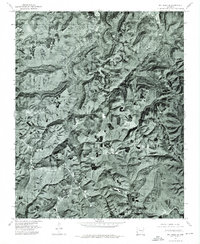
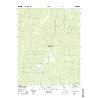
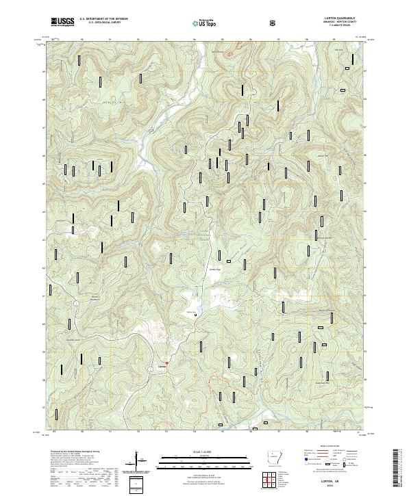 2024 Lurton2024 Print · USGSThe Newton County highlands come into sharp focus in this recent survey of the Boston Mountains and the Ozark National Forest. Researchers can trace the local road network around Lurton, find the Tarlton Cem, or follow the Ozark Highlands Tr through the Richland Creek Wilderness.
End of results
Showing maps 1-15 of 15
Frequently asked questions
- What are the different types of historical maps available for Lurton?
- What is the oldest map of Lurton?
- Where can I purchase historical maps of Lurton for my home or office?
- Where can I download high-res historical maps of Lurton?
- Are there historical topographic maps available for Lurton?
- Is there historical aerial imagery available for Lurton?
- Where are historical maps of Lurton sourced from?