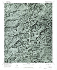
1974 Map of Mt Judea SE
USGS Topo · Published 1975About this map
Lurton serves as the central focal point of this 1974 orthophotograph, where the clearing patterns of the Ozark highlands reveal a landscape of ridges and deep drainage systems. This specific survey type provides a direct photographic view of the terrain rather than conventional topographic symbols, showing the intricate relationship between high-altitude clearings and the heavily timbered slopes that drop toward the water. The drainage network is dominated by the winding paths of Big Creek, Cave Creek, and Richland Creek, which carve deep contours through the Newton County backcountry. Researchers can observe the exact footprint of forest cover and pastureland as it existed in the mid-1970s, capturing the small-scale agricultural clearings that define the rural character of this region before modern changes in land management and reforestation.
Find a feature on this map
4 named features on this map. Tap any name to fly to it.
Don’t see what you’re looking for? This feature index may not catch every label — zoom into the map to look around manually.
Map Details
Editions of this 1974 Mt Judea SE Map
This is the sole edition of this map. No revisions or reprints were ever made.
Other maps of this area

1879 · Washington
USGS Topo · 1:62,500

1887 · Smyrna
USGS Topo · 1:62,500

1889 · Treat
USGS Topo · 1:62,500

1889 · Marshall #3
USGS Topo · 1:62,500

1892 · Marshall
USGS Topo · 1:125,000

1894 · Marshall
USGS Topo · 1:125,000

1901 · Marshall
USGS Topo · 1:125,000

1932 · Treat
USGS Topo · 1:62,500

1933 · Mt Judea
USGS Topo · 1:62,500

1934 · Treat
USGS Topo · 1:62,500