Old Maps of Fourche Junction, Arkansas
Explore 13 old maps of Fourche Junction, spanning from 1890 to today. These high-resolution historic maps reveal how streets, neighborhoods, landmarks, and natural features evolved over time — perfect for genealogy, metal detecting, research, and local history exploration.
What you can do with these maps:
- See how Fourche Junction changed over time: Compare historical maps to modern-day views to trace roads, homesites, rail lines & more.
- View detailed metadata: Each map includes creators, publishers, year, scale, and archive source.
- Overlay maps with satellite & LiDAR: Visualize the past alongside modern tools to explore terrain & human change.
- Trusted historical sources: Maps sourced from the USGS, Library of Congress, and other archives.
- Access maps your way: View online, download high-res files, or order prints for personal or research use.
Start exploring old maps of Fourche Junction to uncover forgotten places, hidden landmarks, and the deep history beneath your feet.
Fourche Junction, AR maps
(13)- 1890 Map of Hot Springs
 1890 Hot Springs1890 Print · USGSThe Ouachita and Fourche La Fave river valleys are mapped here in the late nineteenth century, showing a landscape of isolated mountain settlements. Researchers can trace early family sites near Buckville, Cedar Glades, and the nascent streets of Hot Springs.
 - 1894 Map of Hot Springs
 1894 Hot Springs1894 Print · USGSThe thermal waters of Hot Springs and the surrounding Ouachita wilderness appear here in the decade before the region’s twentieth-century expansion. Genealogists can trace early homesteading locations and vanished rural hubs like Buckville, Cedar Glades, and Wards Crossing.5 unique versions available
 - 1955 Map of Little Rock, 1978 Print
 1955 Little Rock1978 Print · USGSCentral Arkansas in the mid-fifties exhibits a landscape of growing cities, massive military installations, and mountain reservoirs. Genealogists and historians can trace the industrial Bauxite Mines, regional rail lines, and local landmarks like Antioch Church.
 - 1956 Map of Little Rock
 1956 Little Rock1956 Print · USGSCentral Arkansas in the mid-fifties shows a landscape defined by burgeoning military bases and the timber-and-mineral wealth of the Ouachitas. Genealogists and researchers can trace old rail lines like the Missouri Pacific and find established communities such as Bauxite, Sheridan, and Mabelvale.
 - 1960 Map of Little Rock
 1960 Little Rock1960 Print · USGSCentral Arkansas in the late fifties shows a landscape of growing military bases and massive new reservoirs. Local historians can trace the mid-century expansion of Little Rock and Hot Springs alongside the industrial works at Bauxite and the Pine Bluff Arsenal.
 - 1964 Map of Little Rock
 1964 Little Rock1964 Print · USGSCentral Arkansas in the mid-sixties is a landscape of mountain ridges, industrial rail lines, and growing military hubs. Researchers can trace the development of Bauxite and Hot Springs or locate rural landmarks like Sparkman and the Pine Bluff Arsenal.
 - 1968 Map of Nimrod Dam, 1970 Print
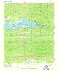 1968 Nimrod Dam1970 Print · USGSThe Fourche River valley and Nimrod Lake are seen here in the late sixties as the area became a hub for conservation and recreation. Genealogists and local historians can locate Valley Home Ch, the Ark Sch, and family landmarks like Carter Cem.
 - 1982 Map of Lake Ouachita
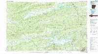 1982 Lake Ouachita1982 Print · USGSThe Ouachita Mountains of West Central Arkansas are shown here during the early eighties, a time of established recreation and protected timberlands. Researchers can locate small communities like Buckville (PO) and Pencil Bluff or trace the drainage of the Fourche La Fave River.
 - 2011 Map of Nimrod Dam, 2011 Print
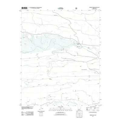 2011 Nimrod Dam2011 Print · USGSThe Ouachita foothills are captured here in the early twenty-first century as the Fourche LaFave River meets the reservoir at Nimrod Dam. Genealogists and local historians can locate Carter Cemetery and trace the rural road networks surrounding Fourche Junction.
 - 2014 Map of Nimrod Dam, 2014 Print
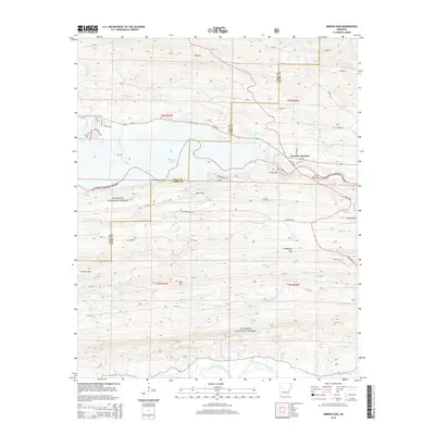 2014 Nimrod Dam2014 Print · USGSThe Yell and Perry county line meets at the reservoir and river systems of the Arkansas Ouachitas in the mid-2010s. Researchers can trace the local infrastructure around Nimrod Dam, the crossroads at Fourche Junction, and the historic Carter Cem.
 - 2017 Map of Nimrod Dam, 2017 Print
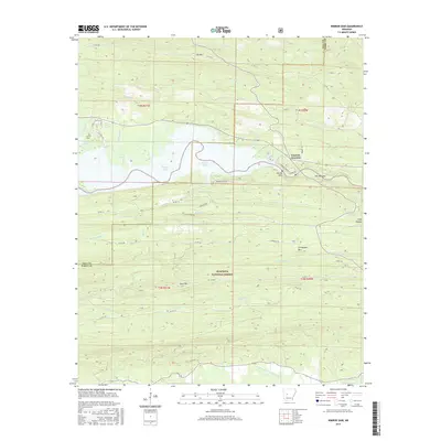 2017 Nimrod Dam2017 Print · USGSFourche Junction and the surrounding forest lands are documented here in the late twenty-tens, centered on the engineering of the Nimrod Dam. Researchers can locate Carter Cem or trace the drainage of Big Brushy Cr and Coker Cr through the Ouachita National Forest.
 - 2020 Map of Nimrod Dam, 2020 Print
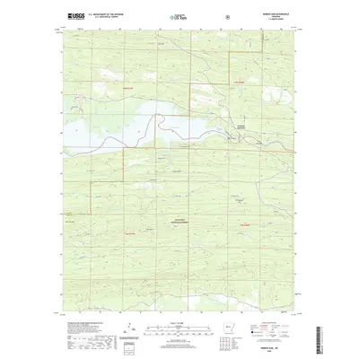 2020 Nimrod Dam2020 Print · USGSThe Perry County highlands and the waters of the Fourche LaFave River meet here in the modern era. Genealogists and local historians can locate the Carter Cem and trace the development of Fourche Junction near the engineering of the Nimrod Dam.
 - 2024 Map of Nimrod Dam, 2024 Print
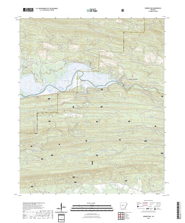 2024 Nimrod Dam2024 Print · USGSThe Yell and Perry County line comes alive in this survey of the river valleys and timbered ridges of the Ouachitas. Search for family roots at Carter Cem or trace the historical river crossings at Bales Ford and The Narrows.
End of results
Showing maps 1-13 of 13
Top cities near Fourche Junction
- Danville historical maps
- Pottsville historical maps
- Ola historical maps
- Plainview historical maps
- Casa historical maps
Frequently asked questions
- What are the different types of historical maps available for Fourche Junction?
- What is the oldest map of Fourche Junction?
- Where can I purchase historical maps of Fourche Junction for my home or office?
- Where can I download high-res historical maps of Fourche Junction?
- Are there historical topographic maps available for Fourche Junction?
- Is there historical aerial imagery available for Fourche Junction?
- Where are historical maps of Fourche Junction sourced from?