Old Maps of Mena, Arkansas for Academic Research
Study the evolution of Mena with 20 high-resolution historic maps. Whether you're teaching, researching, or modeling changes in land use, these maps provide essential visual documentation of urban, environmental, and geographic change.
- Analyze long-term change: Track patterns in development, transportation, and natural features.
- Ideal for environmental or urban studies: Support academic projects with primary historical map data.
- Use in the classroom or lab: Educators and researchers rely on these maps to bring historical context to life.
These maps are a powerful tool for teaching, research, and visualizing how Mena has changed over the decades.
Mena, AR maps
(20)- 1890 Map of Poteau Mountain
 1890 Poteau Mountain1890 Print · USGSWestern Arkansas and the Indian Territory border are mapped in the late 1880s as the frontier gives way to established settlements. Genealogists can trace early homesteads and post offices like Waldron, Dallas, and Cherry Hill, or locate the historic Toll Gate and Talihina Trail.2 unique versions available
 - 1899 Map of Poteau Mountain
 1899 Poteau Mountain1899 Print · USGSThe Arkansas borderlands and the Choctaw Nation frontier are captured here just before the turn of the century. Local historians can trace old homesteads and post offices near Waldron, Dallas, and the remote Cherry Hill (Egger P.O.) along the upper Ouachita.6 unique versions available
 - 1950 Map of Mcalester
 1950 Mcalester1950 Print · USGSThe Ouachita Mountains and the coal country of Southeast Oklahoma are shown here in the late 1940s. Genealogists and historians can trace the rail-driven growth of McAlester, Wilburton, and Antlers alongside the rugged terrain of Kiamichi Mountain.2 unique versions available
 - 1958 Map of Mena, 1959 Print
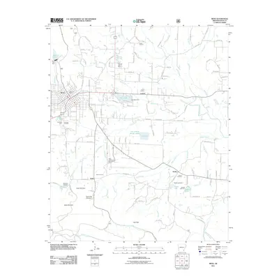
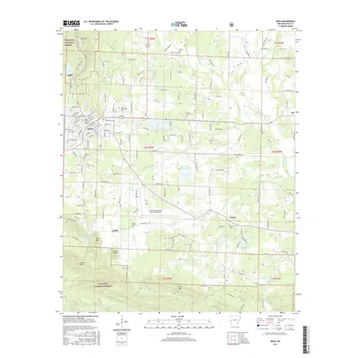
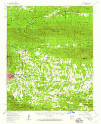 1958 Mena1959 Print · USGSPolk County life in the late fifties centered on the mountain valleys around Mena and the Ouachita National Forest boundary. Researchers can trace rural school locations like Stilwell Sch, the Kansas City Southern Railroad corridor, and many family burial grounds including Yocana Cem.
 - 1958 Map of Potter, 1959 Print
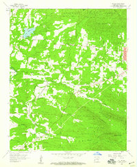
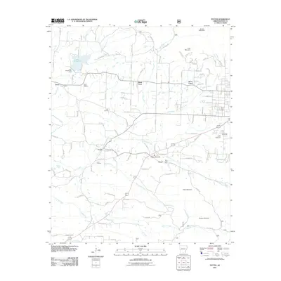
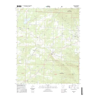
 1958 Potter1959 Print · USGSThe Arkansas-Oklahoma borderlands are shown here in the late fifties, dominated by the ridges of the Ouachita National Forest. Researchers can locate old settlements like Zafra and Potter, family cemeteries such as Sexton Cem, and the path of the Kansas City Southern RR.3 unique versions available
 - 1958 Map of Mena, 1959 Print
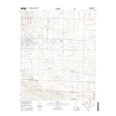
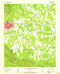 1958 Mena1959 Print · USGSMena and its neighboring settlements in the late fifties reveal a bustling railroad town integrated with the surrounding Ouachita highlands. Trace local genealogy and industry through the Mena Municipal Landing Field, Holly Springs Ch, and the Dallas settlement.3 unique versions available
 - 1958 Map of Potter, 1959 Print
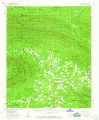
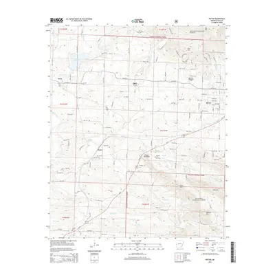
 1958 Potter1959 Print · USGSPolk County at the end of the fifties reveals a landscape where the Kansas City Southern railroad linked forest industry with mountain settlements. Researchers can locate numerous family burial sites like Foster Cem and McKinney Cem, alongside landmarks such as Gann Chapel and Lake Wilhelmina.3 unique versions available
 - 1962 Map of McAlester
 1962 McAlester1962 Print · USGSSoutheastern Oklahoma and western Arkansas are shown here during the early sixties, a time of transition for the region's mountain communities and timberlands. Researchers can trace the paths of the Kansas City Southern RR through Heavener or locate settlements like Talihina and Broken Bow near the Kiamichi Mountains.2 unique versions available
 - 1965 Map of McAlester
 1965 McAlester1965 Print · USGSSoutheastern Oklahoma and western Arkansas appear here in the mid-1960s, showing the intersection of the timber industry and the growing reservoir system. Genealogists can trace family roots through settlements like Antlers, Idabel, and Kiowa or follow the historic routes of the Kansas City Southern Ry.3 unique versions available
 - 1989 Map of Mena, 1991 Print
 1989 Mena1991 Print · USGSThe Ouachita and Kiamichi mountains define this borderland region in the late 1980s. Local historians can trace the Kansas City Southern RR corridor from Mena through settlements like Heavener and past the waters of Wister Lake.
 - 2011 Map of Mena, 2011 Print
 2011 Mena2011 Print · USGSCovers Mena, including Corinth, Dallas, and other nearby areas
 - 2011 Map of Potter, 2011 Print
 2011 Potter2011 Print · USGSCovers Mena, including Olivers Chapel, Potter, and other nearby areas
 - 2014 Map of Potter, 2014 Print
 2014 Potter2014 Print · USGSCovers Mena, including Olivers Chapel, Potter, and other nearby areas
 - 2014 Map of Mena, 2014 Print
 2014 Mena2014 Print · USGSCovers Mena, including Corinth, Dallas, and other nearby areas
 - 2017 Map of Mena, 2017 Print
 2017 Mena2017 Print · USGSCovers Mena, including Corinth, Dallas, and other nearby areas
 - 2017 Map of Potter, 2017 Print
 2017 Potter2017 Print · USGSCovers Mena, including Olivers Chapel, Potter, and other nearby areas
 - 2020 Map of Mena, 2020 Print
 2020 Mena2020 Print · USGSCovers Mena, including Corinth, Dallas, and other nearby areas
 - 2020 Map of Potter, 2020 Print
 2020 Potter2020 Print · USGSCovers Mena, including Olivers Chapel, Potter, and other nearby areas
 - 2024 Map of Potter, 2024 Print
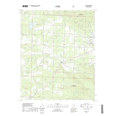
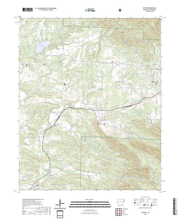 2024 Potter2024 Print · USGSPolk County, Arkansas, reveals its rugged forest-and-valley character in this 2024 topographic survey. Researchers can trace family history at numerous sites like McKinney Cem, Gann Cem, and the rural crossroads of Potter Junction.
 - 2024 Map of Mena, 2024 Print
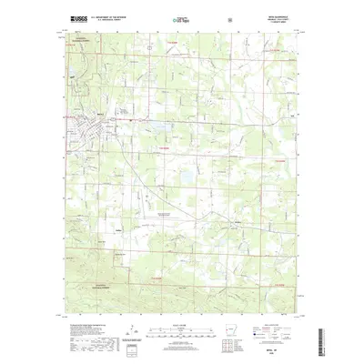
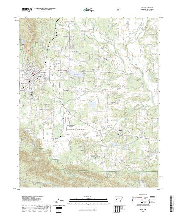 2024 Mena2024 Print · USGSMena and its neighboring mountain settlements are captured here in the 2020s, showing the intersection of local industry and the surrounding wilderness. Genealogists can trace family names at Dallas Cem and Nunley Cem or follow the Kansas City Southern rail line through town.
End of results
Showing maps 1-20 of 20
Top cities near Mena
Frequently asked questions
- What are the different types of historical maps available for Mena?
- What is the oldest map of Mena?
- Where can I purchase historical maps of Mena for my home or office?
- Where can I download high-res historical maps of Mena?
- Are there historical topographic maps available for Mena?
- Is there historical aerial imagery available for Mena?
- Where are historical maps of Mena sourced from?