Old Maps of Dalton, Arkansas for Hiking & Exploration
Hike through history with 10 historic maps of Dalton. Explore old trails, ghost towns, and forgotten backroads — perfect for outdoor adventurers and local explorers.
- Rediscover forgotten places: Map out old mining camps, roads, and footpaths that no longer exist on modern maps.
- Layer with modern tools: Combine with LiDAR or satellite views to plan hikes through historical terrain.
- Made for exploration: Popular among hikers, overlanders, and local history lovers.
Use these maps to find adventure and explore the hidden past of Dalton.
Dalton, AR maps
(10)- 1957 Map of Poplar Bluff, 1968 Print
 1957 Poplar Bluff1968 Print · USGSThe Missouri-Arkansas border region is captured here as the timber and rail industries shaped the Ozark foothills. Genealogists and historians can trace the Missouri Pacific Railroad through river towns like Pocahontas, Greenville, and Van Buren.3 unique versions available
 - 1959 Map of Poplar Bluff
 1959 Poplar Bluff1959 Print · USGSThe Missouri Ozarks and Arkansas borderlands meet in this late 1950s study of the region's diverse terrain and rail-fed towns. Researchers can trace the path of the Missouri Pacific Railroad through Poplar Bluff or locate smaller settlements like Birch Tree and Myrtle.
 - 1960 Map of Poplar Bluff
 1960 Poplar Bluff1960 Print · USGSSoutheast Missouri and Northeast Arkansas are captured here during the post-war era, showing the transition from the Ozark highlands to the Delta. Genealogists and historians can trace rail corridors like the St. Louis Southwestern RR and remote settlements such as Birch Tree and Warm Springs.
 - 1968 Map of Dalton, 1969 Print
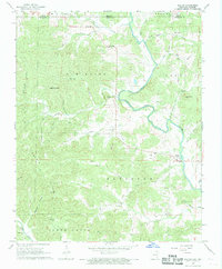 1968 Dalton1969 Print · USGSRandolph County sits at the Missouri border in the late sixties, where the Eleven Point River carves through the Ozark foothills. Researchers can pinpoint old homesteads and community hubs like Elm Store, Yadkin Ch, and Bryan Cem.2 unique versions available
 - 1983 Map of Cherokee Village
 1983 Cherokee Village1983 Print · USGSThe Ozark foothills and river valleys of Northeast Arkansas are captured in the early eighties as modern planned communities began to reshape the landscape. Genealogists and historians can trace family-named ridges and schools across Evening Shade, Melbourne, and the rail junction at Hoxie.
 - 2011 Map of Dalton, 2011 Print
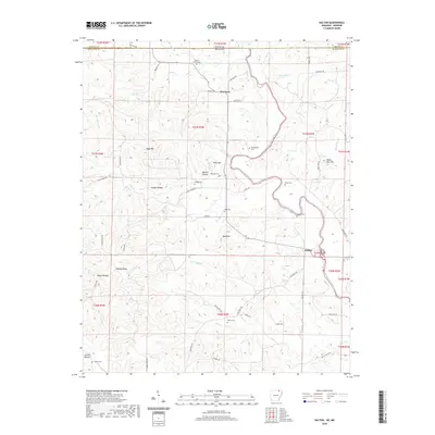
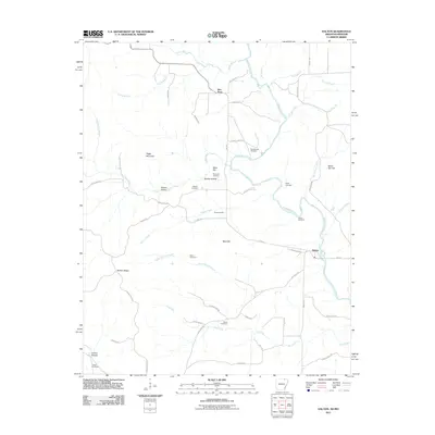 2011 Dalton2011 Print · USGSCovers Dalton, including Elm Store, Randolph County, and other nearby areas
 - 2014 Map of Dalton, 2014 Print
 2014 Dalton2014 Print · USGSCovers Dalton, including Elm Store, Randolph County, and other nearby areas
 - 2017 Map of Dalton, 2017 Print
 2017 Dalton2017 Print · USGSCovers Dalton, including Elm Store, Randolph County, and other nearby areas
 - 2020 Map of Dalton, 2020 Print
 2020 Dalton2020 Print · USGSCovers Dalton, including Elm Store, Randolph County, and other nearby areas
 - 2024 Map of Dalton, 2024 Print
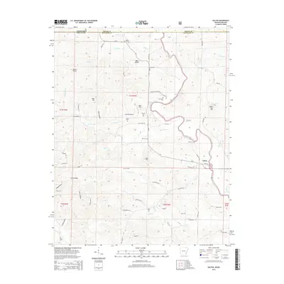
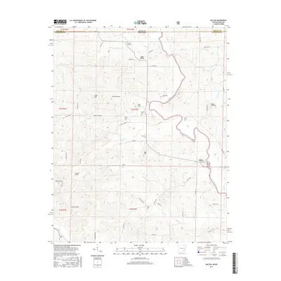
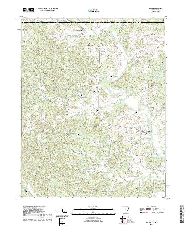 2024 Dalton2024 Print · USGSRandolph County at the Missouri border is a landscape of river valleys and ridge-top cemeteries in the 2020s. Genealogists can trace family heritage through local landmarks like Stubblefield Cem, Elm Store, and the banks of the Eleven Point River.
End of results
Showing maps 1-10 of 10
Top cities near Dalton
- Pocahontas historical maps
- Imboden historical maps
- Ravenden historical maps
- Maynard historical maps
- Ravenden Springs historical maps
- Williford historical maps
Frequently asked questions
- What are the different types of historical maps available for Dalton?
- What is the oldest map of Dalton?
- Where can I purchase historical maps of Dalton for my home or office?
- Where can I download high-res historical maps of Dalton?
- Are there historical topographic maps available for Dalton?
- Is there historical aerial imagery available for Dalton?
- Where are historical maps of Dalton sourced from?