Old Maps of Ravenden, Arkansas
Explore 30 old maps of Ravenden, spanning from 1934 to today. These high-resolution historic maps reveal how streets, neighborhoods, landmarks, and natural features evolved over time — perfect for genealogy, metal detecting, research, and local history exploration.
What you can do with these maps:
- See how Ravenden changed over time: Compare historical maps to modern-day views to trace roads, homesites, rail lines & more.
- View detailed metadata: Each map includes creators, publishers, year, scale, and archive source.
- Overlay maps with satellite & LiDAR: Visualize the past alongside modern tools to explore terrain & human change.
- Trusted historical sources: Maps sourced from the USGS, Library of Congress, and other archives.
- Access maps your way: View online, download high-res files, or order prints for personal or research use.
Start exploring old maps of Ravenden to uncover forgotten places, hidden landmarks, and the deep history beneath your feet.
Ravenden, AR maps
(30)- 1934 Map of Powhatan
 1934 Powhatan1934 Print · USGSLawrence and Randolph counties are mapped here in the early 1930s, showing a river-dependent landscape tied to the Black River. Researchers can trace old ferry crossings like Gibson Ferry and family-named landmarks such as Whitlow Cem and Lauratown.
 - 1935 Map of Powhatan
 1935 Powhatan1935 Print · USGSThe confluence of the Black and Spring Rivers comes alive in the mid-1930s, documenting a time when river ferries and rail travel defined Lawrence County life. Genealogists can locate family landmarks like Lauderdale Ch Sch & Cem, Gibson Ferry, and the landing at Sissons Ld.4 unique versions available
 - 1957 Map of Poplar Bluff, 1968 Print
 1957 Poplar Bluff1968 Print · USGSThe Missouri-Arkansas border region is captured here as the timber and rail industries shaped the Ozark foothills. Genealogists and historians can trace the Missouri Pacific Railroad through river towns like Pocahontas, Greenville, and Van Buren.3 unique versions available
 - 1959 Map of Poplar Bluff
 1959 Poplar Bluff1959 Print · USGSThe Missouri Ozarks and Arkansas borderlands meet in this late 1950s study of the region's diverse terrain and rail-fed towns. Researchers can trace the path of the Missouri Pacific Railroad through Poplar Bluff or locate smaller settlements like Birch Tree and Myrtle.
 - 1960 Map of Poplar Bluff
 1960 Poplar Bluff1960 Print · USGSSoutheast Missouri and Northeast Arkansas are captured here during the post-war era, showing the transition from the Ozark highlands to the Delta. Genealogists and historians can trace rail corridors like the St. Louis Southwestern RR and remote settlements such as Birch Tree and Warm Springs.
 - 1966 Map of Ravenden Springs, 1967 Print
 1966 Ravenden Springs1967 Print · USGSRavenden Springs and the surrounding Ozark foothills are captured here in the mid-1960s, showing a landscape of small farms and family-led communities. Genealogists can trace deep local roots through several family burial grounds, including Wells Cem, Janes Cem, and Brown Cem.2 unique versions available
 - 1966 Map of Imboden, 1967 Print
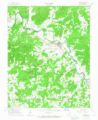 1966 Imboden1967 Print · USGSIn the mid-1960s, the riverside town of Imboden thrived along the St Louis - San Francisco rail line. Researchers can trace family history through numerous rural sites like Annieville, Pleasant Grove Ch, and the Nation Cem.2 unique versions available
 - 1968 Map of Ravenden, 1969 Print
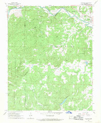 1968 Ravenden1969 Print · USGSIn the Ozark foothills during the late sixties, the railroad towns of Williford and Ravenden thrived along the banks of the Spring River. Researchers can trace rural lineages through family-named landmarks like Thacker Ridge and country landmarks including Friendship Ch and Dail Cem.3 unique versions available
 - 1968 Map of Williford, 1969 Print
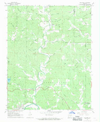 1968 Williford1969 Print · USGSSharp County land records and family histories come to life in the late 1960s as the Spring River passes through Williford. Trace ancestral sites at Bradford Chapel, Kellett Cem, and the historic St Louis - San Francisco rail line.2 unique versions available
 - 1983 Map of Cherokee Village
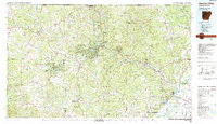 1983 Cherokee Village1983 Print · USGSThe Ozark foothills and river valleys of Northeast Arkansas are captured in the early eighties as modern planned communities began to reshape the landscape. Genealogists and historians can trace family-named ridges and schools across Evening Shade, Melbourne, and the rail junction at Hoxie.
 - 2011 Map of Ravenden Springs, 2011 Print
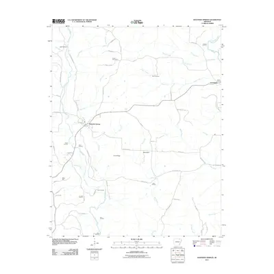 2011 Ravenden Springs2011 Print · USGSRavenden Springs and the Ozark foothills of Lawrence County are shown in detail during the early twenty-first century. Genealogists and local historians can locate numerous family burial sites, including the Charter Oak Cemetery and Janes Cemetery, or trace the path of the Eleven Point River.
 - 2011 Map of Ravenden, 2011 Print
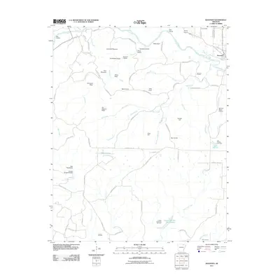 2011 Ravenden2011 Print · USGSLawrence County at the start of the 2010s reveals a rural landscape defined by the Spring River and numerous family cemeteries. Researchers can locate ancestral landmarks like Dail Cemetery, the settlement of Mount Olive, and the heights of Goat Shed Mountain.
 - 2011 Map of Imboden, 2011 Print
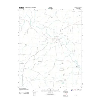 2011 Imboden2011 Print · USGSThe Spring River valley in Lawrence County is documented here during the early twenty-first century, showing the established town of Imboden. Researchers can locate family landmarks like Janes Cemetery, Annieville, and the Imboden Lookout Tower.
 - 2011 Map of Williford, 2011 Print
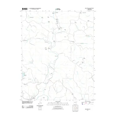 2011 Williford2011 Print · USGSThe hills around the Spring River in northeastern Arkansas are documented here in the early twenty-first century. Genealogists can trace family footprints across numerous sites including Bradford Chapel Cemetery, Ratliff Cemetery, and the northern settlement of Armstrong.
 - 2014 Map of Ravenden, 2014 Print
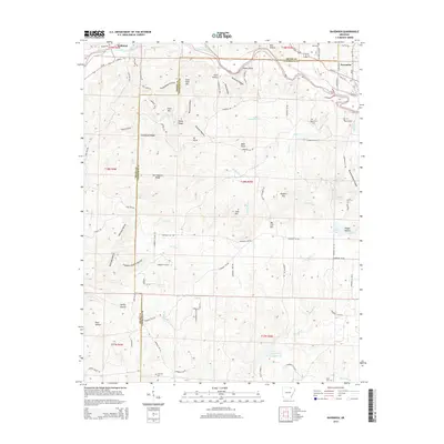 2014 Ravenden2014 Print · USGSThe northern Arkansas borderlands near Ravenden and Williford come into focus in the early twenty-first century as the Spring River winds through the hills. Researchers can trace family history at Opposition Cem or locate rural landmarks like Goat Shed Mtn and Buzzard Roost Canyon.
 - 2014 Map of Williford, 2014 Print
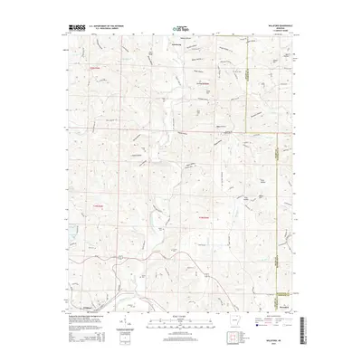 2014 Williford2014 Print · USGSThe foothills of northeast Arkansas are captured here in the early 2000s at the junction of Sharp, Randolph, and Lawrence counties. Genealogists and local historians can locate numerous rural burial sites including Wicker Cem, Kellett Cem, and Bradford Chapel Cem.
 - 2014 Map of Ravenden Springs, 2014 Print
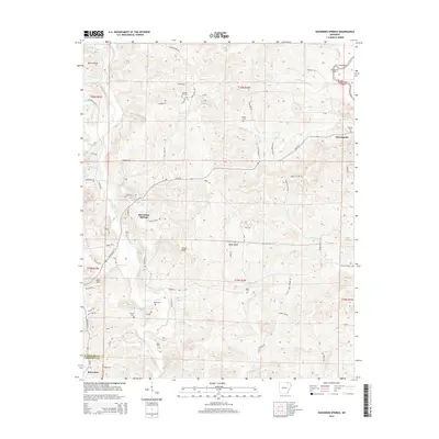 2014 Ravenden Springs2014 Print · USGSRavenden Springs and the Elevenpoint valley are shown here at the turn of the 21st century, revealing a landscape of Ozark ridges and family-named hollows. Researchers can locate numerous family burial sites like Charter Oak Cem and Kuhn Cem or trace the drainage of the Eleven Point River.
 - 2014 Map of Imboden, 2014 Print
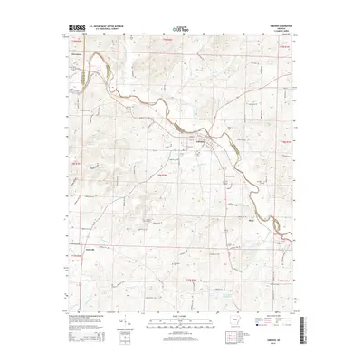 2014 Imboden2014 Print · USGSThe foothills of the Ozarks in the 2010s are centered on the Spring River and the rural communities of Lawrence County. Historians can trace the locations of numerous family and community burial grounds like Nation Cem and Rhea Cem, alongside the BNSF Railway corridor.
 - 2017 Map of Williford, 2017 Print
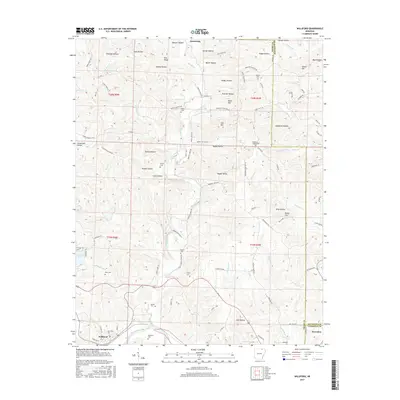 2017 Williford2017 Print · USGSSharp and Randolph counties appear in the mid-2010s as a landscape of rural ridges and family-named hollows. Researchers can trace historic cemeteries and small settlements near the Spring River, from Williford to the Wicker Cem and Vagabond Lake.
 - 2017 Map of Ravenden Springs, 2017 Print
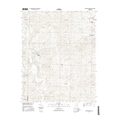 2017 Ravenden Springs2017 Print · USGSThe Lawrence Co and Randolph Co borderlands are shown here in the mid-2010s, centered on the historic springs and rugged creek valleys. Researchers can locate numerous family burial sites and rural landmarks, from Baker Cem and Wyatte Cem to the high elevations of Locust Ridge.
 - 2017 Map of Ravenden, 2017 Print
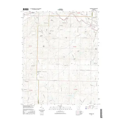 2017 Ravenden2017 Print · USGSThe Sharp and Lawrence county line is captured here as the Ozark landscape meets the river valleys of northeastern Arkansas. Researchers can trace family history through features like Opposition Cem, Van Wagoner Ridge, and the Captain Sanders Hollow.
 - 2017 Map of Imboden, 2017 Print
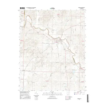 2017 Imboden2017 Print · USGSThe Lawrence and Randolph county border comes alive in this 2017 study of the Spring River valley and its rural settlements. Researchers can trace family history through local landmarks like Hope Cemetery, the community at Annieville, and the waters of Doctor Ralph Joseph Lake.
 - 2020 Map of Ravenden, 2020 Print
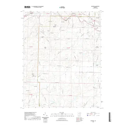 2020 Ravenden2020 Print · USGSThe borderlands of Sharp and Lawrence Counties come alive in this contemporary record of the Ozark foothills. Genealogists and local historians can trace legacy landmarks and rural burial grounds such as Opposition Cem, Coffman Cem, and the high ground of Graveyard Ridge.
 - 2020 Map of Williford, 2020 Print
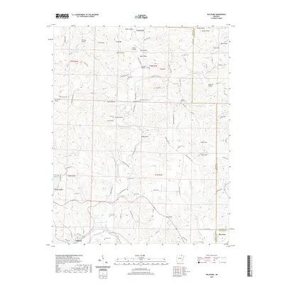 2020 Williford2020 Print · USGSSharp and Randolph counties meet at the bend of the Spring River in this detailed 2020 record of the Arkansas Ozarks. Researchers can trace rural lineages through numerous local sites like Bradford Cemetery, Ozark Acres, and the old settlement of Williford.
 - 2020 Map of Ravenden Springs, 2020 Print
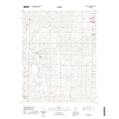 2020 Ravenden Springs2020 Print · USGSRavenden Springs and the surrounding Ozark foothills are documented here at the turn of the twenty-first century. Genealogists and local historians can trace family ties at Charter Oak Cem, locate Middle Spring, or follow the Eleven Point River near Elevenpoint.
Showing maps 1-25 of 30
Top cities near Ravenden
- Hardy historical maps
- Imboden historical maps
- Black Rock historical maps
- Portia historical maps
- Lynn historical maps
- Ravenden Springs historical maps
See more
Frequently asked questions
- What are the different types of historical maps available for Ravenden?
- What is the oldest map of Ravenden?
- Where can I purchase historical maps of Ravenden for my home or office?
- Where can I download high-res historical maps of Ravenden?
- Are there historical topographic maps available for Ravenden?
- Is there historical aerial imagery available for Ravenden?
- Where are historical maps of Ravenden sourced from?