2000s (21st Century) Maps of Ravenden, Arkansas
Explore 20 historic maps of Ravenden from the 2000s (21st Century). These maps offer a rare glimpse into what life looked like during the 2000s — showing old roads, neighborhoods, homes, and landmarks that have changed or disappeared over time.
Whether you're researching your family's past, planning a metal detecting trip, or studying how Ravenden's landscape evolved across the 2000s, these high-resolution maps are a powerful tool for exploring the history of this region.
- Focus on a specific era: All maps on this page are from the 2000s, giving you a focused view of this time period.
- See what’s changed: Compare century-old streets, trails, and buildings to today's modern landscape using overlays and satellite layers.
- Research with precision: Use these maps for genealogy, historical research, land use analysis, or educational projects.
- View, download, or print: Maps are fully viewable online in high resolution, and can be downloaded or printed for your own records.
Start exploring Ravenden's history through authentic maps from the 2000s. This is your window into the past.
Ravenden, AR maps
(20)- 2011 Map of Ravenden Springs, 2011 Print
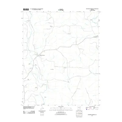 2011 Ravenden Springs2011 Print · USGSCovers Ravenden, including Ravenden Springs, Elevenpoint, and other nearby areas
 - 2011 Map of Ravenden, 2011 Print
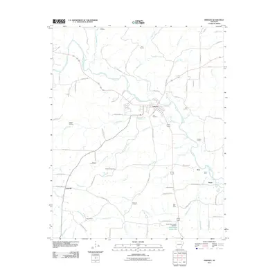
 2011 Ravenden2011 Print · USGSCovers Ravenden, including Williford, Sharp County, and other nearby areas
 - 2011 Map of Imboden, 2011 Print
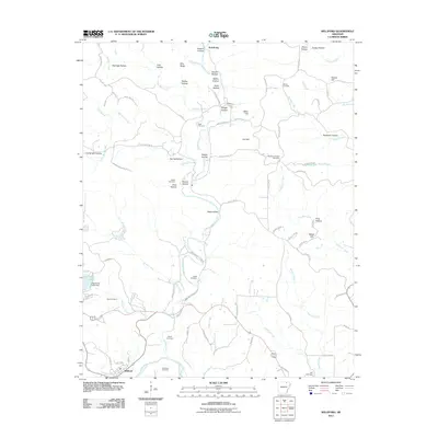
 2011 Imboden2011 Print · USGSCovers Ravenden, including Imboden, Sloan, and other nearby areas
 - 2011 Map of Williford, 2011 Print
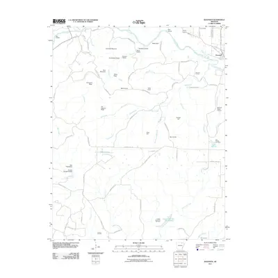
 2011 Williford2011 Print · USGSCovers Ravenden, including Williford, Armstrong, and other nearby areas
 - 2014 Map of Ravenden, 2014 Print
 2014 Ravenden2014 Print · USGSCovers Ravenden, including Williford, Sharp County, and other nearby areas
 - 2014 Map of Williford, 2014 Print
 2014 Williford2014 Print · USGSCovers Ravenden, including Williford, Armstrong, and other nearby areas
 - 2014 Map of Ravenden Springs, 2014 Print
 2014 Ravenden Springs2014 Print · USGSCovers Ravenden, including Ravenden Springs, Elevenpoint, and other nearby areas
 - 2014 Map of Imboden, 2014 Print
 2014 Imboden2014 Print · USGSCovers Ravenden, including Imboden, Sloan, and other nearby areas
 - 2017 Map of Williford, 2017 Print
 2017 Williford2017 Print · USGSCovers Ravenden, including Williford, Armstrong, and other nearby areas
 - 2017 Map of Ravenden Springs, 2017 Print
 2017 Ravenden Springs2017 Print · USGSCovers Ravenden, including Ravenden Springs, Elevenpoint, and other nearby areas
 - 2017 Map of Ravenden, 2017 Print
 2017 Ravenden2017 Print · USGSCovers Ravenden, including Williford, Sharp County, and other nearby areas
 - 2017 Map of Imboden, 2017 Print
 2017 Imboden2017 Print · USGSCovers Ravenden, including Imboden, Sloan, and other nearby areas
 - 2020 Map of Ravenden, 2020 Print
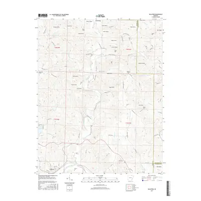
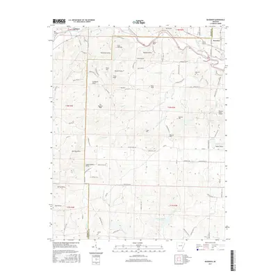
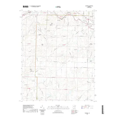 2020 Ravenden2020 Print · USGSCovers Ravenden, including Williford, Sharp County, and other nearby areas
 - 2020 Map of Williford, 2020 Print
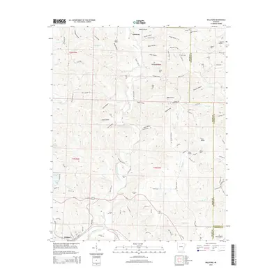
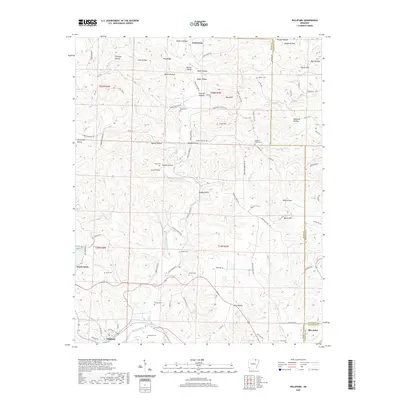 2020 Williford2020 Print · USGSCovers Ravenden, including Williford, Armstrong, and other nearby areas
 - 2020 Map of Ravenden Springs, 2020 Print
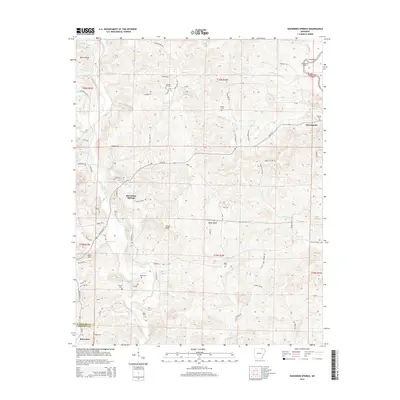
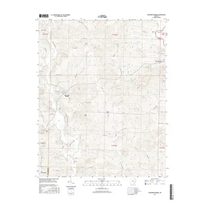
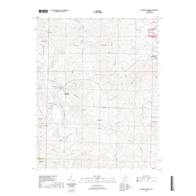 2020 Ravenden Springs2020 Print · USGSCovers Ravenden, including Ravenden Springs, Elevenpoint, and other nearby areas
 - 2020 Map of Imboden, 2020 Print
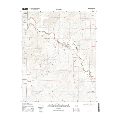
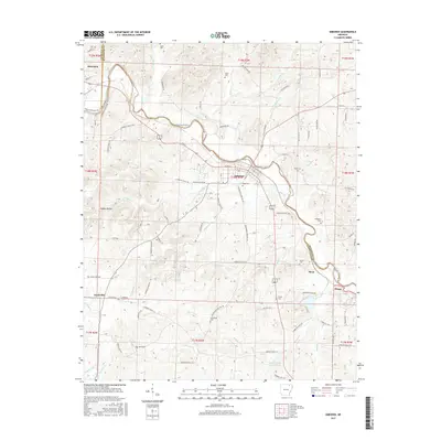
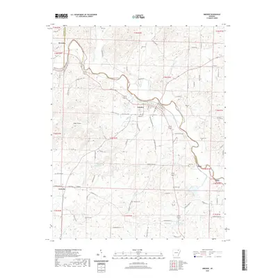 2020 Imboden2020 Print · USGSCovers Ravenden, including Imboden, Sloan, and other nearby areas
 - 2024 Map of Imboden, 2024 Print
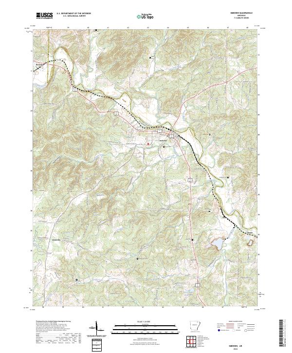 2024 Imboden2024 Print · USGSIn the river valleys of Lawrence and Randolph counties during the early twenty-first century, this area shows a landscape of small towns and rural homesteads. Genealogists can trace local heritage through numerous family burial sites like Holobaugh Cem, Campbell Cem, and Dent Cem.
 - 2024 Map of Ravenden, 2024 Print
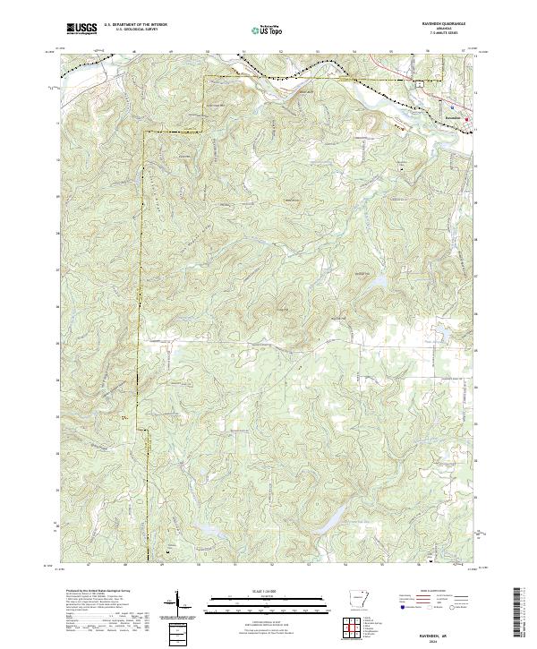 2024 Ravenden2024 Print · USGSRavenden and the surrounding Lawrence County uplands are documented here in the early twenty-first century as the landscape shifts from the Spring River to the high ridges. Researchers can locate family landmarks like Coffman Cem, the community of Coffman, and notable terrain like Watts Bluff.
 - 2024 Map of Ravenden Springs, 2024 Print
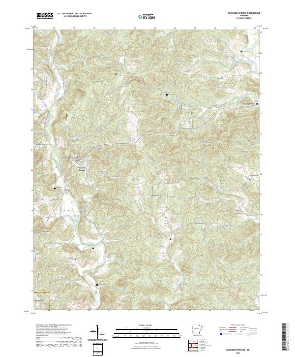 2024 Ravenden Springs2024 Print · USGSThe Ozark foothills of Randolph County appear in detail on this modern survey. Genealogists can trace family names through burial grounds like Rickman Cem and Kuhn Cem or locate the historic center of Ravenden Springs.
 - 2024 Map of Williford, 2024 Print
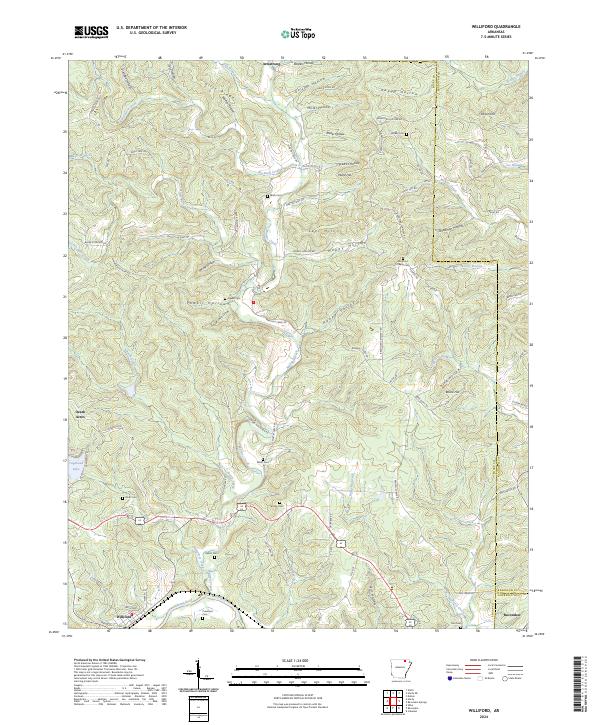 2024 Williford2024 Print · USGSThe Spring River valley in northern Arkansas shows a landscape of deep hollows and family homesteads. Genealogists can locate numerous burial sites including Crawford Cem, Ratliff Cem, and the Bradford Chapel Cem.
End of results
Showing maps 1-20 of 20
Top cities near Ravenden
- Hardy historical maps
- Imboden historical maps
- Black Rock historical maps
- Portia historical maps
- Lynn historical maps
- Ravenden Springs historical maps
See more
Frequently asked questions
- What are the different types of historical maps available for Ravenden?
- What is the oldest map of Ravenden?
- Where can I purchase historical maps of Ravenden for my home or office?
- Where can I download high-res historical maps of Ravenden?
- Are there historical topographic maps available for Ravenden?
- Is there historical aerial imagery available for Ravenden?
- Where are historical maps of Ravenden sourced from?