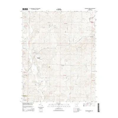
2014 Map of Ravenden Springs
USGS Topo · Published 2014About this map
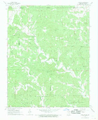
Ravenden Springs and the village of Elevenpoint highlight a region of North Arkansas where upland ridges meet the winding Eleven Point River. This portion of the Ozark foothills is defined by a deep network of family burial grounds and narrow creek valleys, such as James Creek and Hall Cr. The map reveals the distribution of early settlement patterns through numerous small cemeteries, including Charter Oak Cem, Janes Cem, and Rickman Cem, which often represent the only surviving markers of original homesteads. Landforms like Locust Ridge and Baker Bluff rise above the drainage of Wells Cr and Bradley Cr, creating a landscape where travel was dictated by the topography of the hollows. To the south, the settlement of Ravenden sits near the border of Randolph and Lawrence counties, serving as a gateway to this rural interior.
Find a feature on this map
82 named features on this map. Tap any name to fly to it.
Don’t see what you’re looking for? This feature index may not catch every label — zoom into the map to look around manually.
Map Details
Editions of this 2014 Ravenden Springs Map
This is the sole edition of this map. No revisions or reprints were ever made.
Other maps of this area

1934 · Powhatan
USGS Topo · 1:62,500

1935 · Powhatan
USGS Topo · 1:62,500

1957 · Poplar Bluff
USGS Topo · 1:250,000

1959 · Poplar Bluff
USGS Topo · 1:250,000

1960 · Poplar Bluff
USGS Topo · 1:250,000

1966 · Ravenden Springs
USGS Topo · 1:24,000
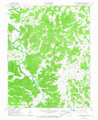
1966 · Ravenden Springs SE
USGS Topo · 1:24,000
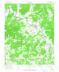
1966 · Imboden
USGS Topo · 1:24,000
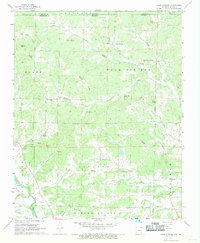
1967 · Warm Springs
USGS Topo · 1:24,000
1968 · Hardy NE
USGS Topo · 1:24,000