
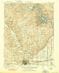
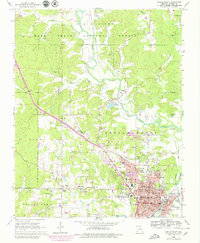
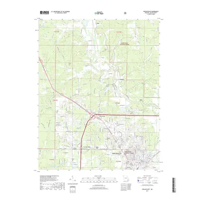
1960 Map of Poplar Bluff
USGS Topo · Published 1960About this map
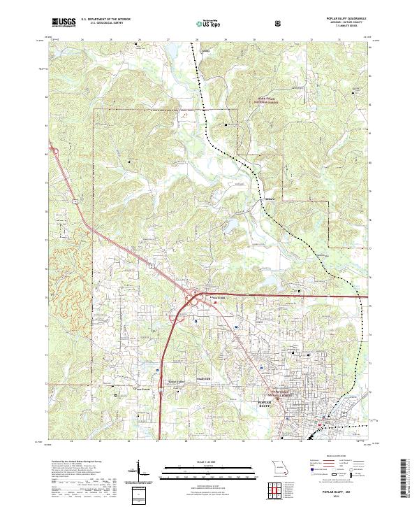
The Ozark Mountains and the alluvial plains of the Missouri Bootheel meet in this mid-century survey, revealing a landscape defined by significant timber resources and river drainage systems. The heavily forested western reaches are anchored by the Mark Twain National Forest and the Eleven Point State Game Refuge, while the eastern portion transitions into the managed waterways of the Mississippi embayment. Strategic water management is evident in the presence of Wappapello Lake and Clearwater Lake, alongside an extensive network of drainage features like the Main Ditch and Dudley Ditch. The transition between the high ground of Crowleys Ridge and the flat Grand Prairie dictated the paths of major rail lines, including the Missouri Pacific RR and the St. Louis-San Francisco RR, which connect regional hubs like Poplar Bluff and Paragould across the Missouri-Arkansas State Line.
Find a feature on this map
208 named features on this map. Tap any name to fly to it.
Don’t see what you’re looking for? This feature index may not catch every label — zoom into the map to look around manually.
Map Details
Editions of this 1960 Poplar Bluff Map
This is the sole edition of this map. No revisions or reprints were ever made.
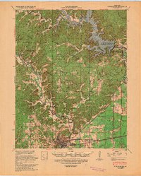
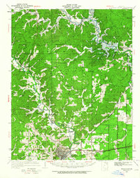
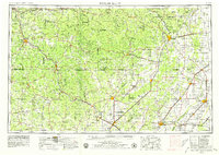
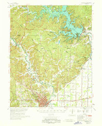
Historical Maps of Paragould Through Time
13 maps found
1935 Poplar Bluff
Butler County, MO
1939 Poplar Bluff
Butler County, MO
1949 Poplar Bluff
Butler County, MO
1957 Poplar Bluff
Butler County, MO

1959 Poplar Bluff
Butler County, MO
1960 Poplar Bluff
Butler County, MO
1966 Poplar Bluff
Butler County, MO
1968 Poplar Bluff
Butler County, MO

1983 Poplar Bluff
Butler County, MO
2011 Poplar Bluff
Butler County, MO
2015 Poplar Bluff
Butler County, MO
2017 Poplar Bluff
Butler County, MO
2021 Poplar Bluff
Butler County, MO