Old Maps of Engelberg, Arkansas for Metal Detecting
Plan your next treasure hunt with 11 historic maps of Engelberg. Find old homesites, ghost towns, trails, and gathering spots that may be lost to time — perfect for identifying promising metal detecting locations.
- Locate forgotten sites: Uncover places like long-lost settlements, abandoned rail lines, or gathering spots.
- Plan better hunts: Use map overlays combined with LiDAR or satellite views to narrow in on historically rich areas.
- Made for detectorists: Thousands of hobbyists use these maps to discover relics, coins, and hidden history.
Use these historic maps to boost your research and find new opportunities beneath the surface of Engelberg.
Engelberg, AR maps
(11)- 1935 Map of Reyno, 1938 Print
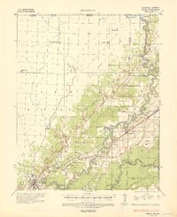 1935 Reyno1938 Print · USGSRandolph and Clay counties are shown in the mid-1930s, documenting a river-dependent economy as the Ozarks meet the alluvial valley. Researchers can trace historic river crossings like Biggers Ferry and rural sites such as Johnson Cem and Cochrum Sch.3 unique versions available
 - 1957 Map of Poplar Bluff, 1968 Print
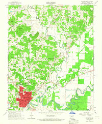
 1957 Poplar Bluff1968 Print · USGSThe Missouri-Arkansas border region is captured here as the timber and rail industries shaped the Ozark foothills. Genealogists and historians can trace the Missouri Pacific Railroad through river towns like Pocahontas, Greenville, and Van Buren.3 unique versions available
 - 1959 Map of Poplar Bluff
 1959 Poplar Bluff1959 Print · USGSThe Missouri Ozarks and Arkansas borderlands meet in this late 1950s study of the region's diverse terrain and rail-fed towns. Researchers can trace the path of the Missouri Pacific Railroad through Poplar Bluff or locate smaller settlements like Birch Tree and Myrtle.
 - 1960 Map of Poplar Bluff
 1960 Poplar Bluff1960 Print · USGSSoutheast Missouri and Northeast Arkansas are captured here during the post-war era, showing the transition from the Ozark highlands to the Delta. Genealogists and historians can trace rail corridors like the St. Louis Southwestern RR and remote settlements such as Birch Tree and Warm Springs.
 - 1966 Map of Pocahontas, 1967 Print
 1966 Pocahontas1967 Print · USGSRandolph County's river-driven landscape is captured here in the mid-sixties as the Black River and Fourche River meet at Pocahontas. Genealogists can locate family sites like the Masonic Cemetery, Friendship Cem, and rural outposts like Stokes.2 unique versions available
 - 1984 Map of Paragould
 1984 Paragould1984 Print · USGSNortheast Arkansas and the Missouri Bootheel appear here in the mid-1980s as a landscape of ridge-top towns and engineered delta drainage. Genealogists and historians can locate rural landmarks like Oak Grove Church, trace the St Louis San Francisco RR, or explore the limits of Crowleys Ridge State Park.2 unique versions available
 - 2011 Map of Pocahontas, 2011 Print
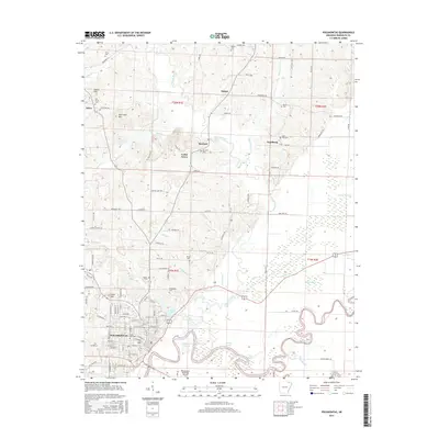
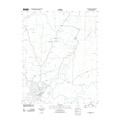 2011 Pocahontas2011 Print · USGSCovers Engelberg, including Pocahontas, Stokes, and other nearby areas
 - 2014 Map of Pocahontas, 2014 Print
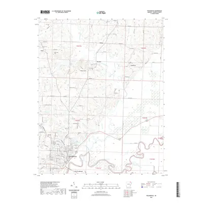
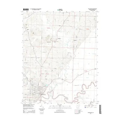 2014 Pocahontas2014 Print · USGSCovers Engelberg, including Pocahontas, Stokes, and other nearby areas
 - 2017 Map of Pocahontas, 2017 Print
 2017 Pocahontas2017 Print · USGSCovers Engelberg, including Pocahontas, Stokes, and other nearby areas
 - 2020 Map of Pocahontas, 2020 Print
 2020 Pocahontas2020 Print · USGSCovers Engelberg, including Pocahontas, Stokes, and other nearby areas
 - 2024 Map of Pocahontas, 2024 Print
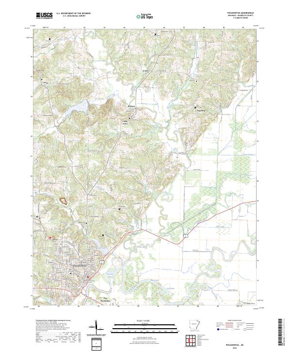 2024 Pocahontas2024 Print · USGSRandolph County's river valleys and uplands are documented here during a period of modern growth and preserved heritage. Researchers can locate family landmarks such as the Randolph County Courthouse, Oak Grove Cem, and the historic site of Old Skaggs Ferry.
End of results
Showing maps 1-11 of 11
Top cities near Engelberg
- Pocahontas historical maps
- Walnut Ridge historical maps
- Black Rock historical maps
- Reyno historical maps
- College City historical maps
- Maynard historical maps
See more
Frequently asked questions
- What are the different types of historical maps available for Engelberg?
- What is the oldest map of Engelberg?
- Where can I purchase historical maps of Engelberg for my home or office?
- Where can I download high-res historical maps of Engelberg?
- Are there historical topographic maps available for Engelberg?
- Is there historical aerial imagery available for Engelberg?
- Where are historical maps of Engelberg sourced from?