2020s Maps of Bryant, Arkansas
Explore 9 historic maps of Bryant from the 2020s. These maps offer a rare glimpse into what life looked like during the 2020s — showing old roads, neighborhoods, homes, and landmarks that have changed or disappeared over time.
Whether you're researching your family's past, planning a metal detecting trip, or studying how Bryant's landscape evolved across the 2020s, these high-resolution maps are a powerful tool for exploring the history of this region.
- Focus on a specific era: All maps on this page are from the 2020s, giving you a focused view of this time period.
- See what’s changed: Compare century-old streets, trails, and buildings to today's modern landscape using overlays and satellite layers.
- Research with precision: Use these maps for genealogy, historical research, land use analysis, or educational projects.
- View, download, or print: Maps are fully viewable online in high resolution, and can be downloaded or printed for your own records.
Start exploring Bryant's history through authentic maps from the 2020s. This is your window into the past.
Bryant, AR maps
(9)- 2020 Map of Congo, 2020 Print
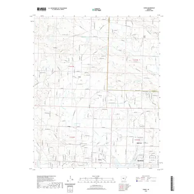 2020 Congo2020 Print · USGSCovers Bryant, including Benton, Salem, and other nearby areas
 - 2020 Map of Alexander, 2020 Print
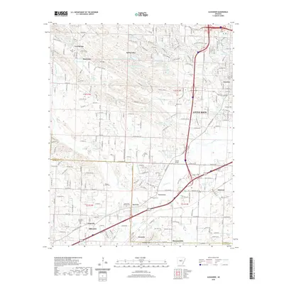 2020 Alexander2020 Print · USGSCovers Bryant, including Little Rock, Alexander, and other nearby areas
 - 2020 Map of Bryant, 2020 Print
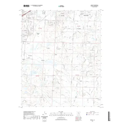 2020 Bryant2020 Print · USGSCovers Bryant, including Alexander, Shannon Hills, and other nearby areas
 - 2020 Map of Benton, 2020 Print
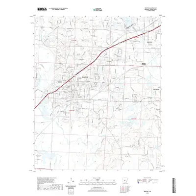 2020 Benton2020 Print · USGSCovers Bryant, including Benton, Haskell, and other nearby areas
 - 2023 Map of Bryant, 2023 Print
 2023 Bryant2023 Print · USGSCovers Bryant, including Alexander, Shannon Hills, and other nearby areas
 - 2024 Map of Bryant, 2024 Print
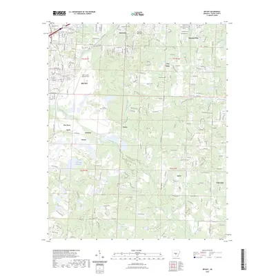
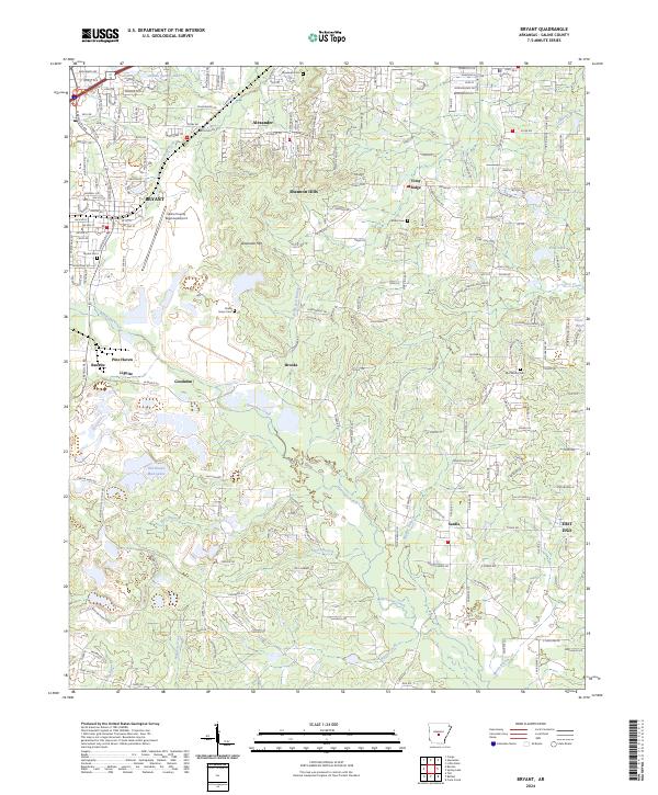 2024 Bryant2024 Print · USGSSaline County comes into sharp focus during this recent era of suburban growth and rural transition. Researchers can trace family sites at China Grove Cem and Butler Cem or locate industrial markers like the Lignite deposits near Bauxite.
 - 2024 Map of Alexander, 2024 Print
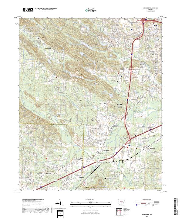 2024 Alexander2024 Print · USGSThe western edges of Little Rock meet the Saline County line during a period of significant suburban expansion. Researchers can trace local genealogy and land use through numerous sites like Forest Hills Memorial Park, Douglass Cem, and the old settlement of Mabelvale.
 - 2024 Map of Benton, 2024 Print
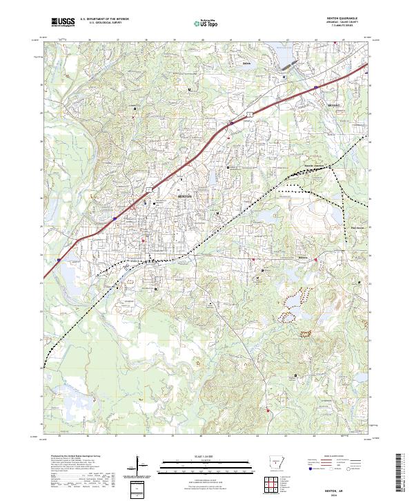 2024 Benton2024 Print · USGSBenton and the surrounding Saline County countryside are shown in the early twenty-first century as the region manages its industrial and rail heritage. Genealogists can locate numerous local burial grounds like McPherson Cem and Social Hill Cem, or trace the historic Old Stage Coach Rd through Salem.
 - 2024 Map of Congo, 2024 Print
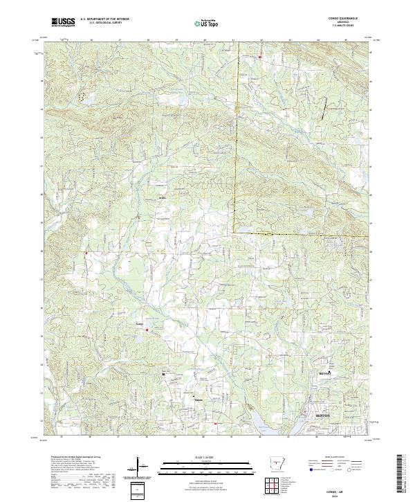 2024 Congo2024 Print · USGSSaline County’s expanding communities and rural corners are documented here in recent detail. Genealogists and local researchers can trace family landmarks like Pipkin Cem or locate the historic centers of Congo and Avilla near the Hurricane Creek drainage.
End of results
Showing maps 1-9 of 9
Top cities near Bryant
- Little Rock historical maps
- North Little Rock historical maps
- Benton historical maps
- Maumelle historical maps
- Haskell historical maps
- Alexander historical maps
See more
Top neighborhoods of Bryant
- Springhill historical maps
- Careywood historical maps
- Edgewood historical maps
- Richardson Place historical maps
- Twin Oaks historical maps
- Evergreen historical maps
See more
Frequently asked questions
- What are the different types of historical maps available for Bryant?
- What is the oldest map of Bryant?
- Where can I purchase historical maps of Bryant for my home or office?
- Where can I download high-res historical maps of Bryant?
- Are there historical topographic maps available for Bryant?
- Is there historical aerial imagery available for Bryant?
- Where are historical maps of Bryant sourced from?