Old Maps of Shelbyville, Arkansas
Explore 12 old maps of Shelbyville, spanning from 1932 to today. These high-resolution historic maps reveal how streets, neighborhoods, landmarks, and natural features evolved over time — perfect for genealogy, metal detecting, research, and local history exploration.
What you can do with these maps:
- See how Shelbyville changed over time: Compare historical maps to modern-day views to trace roads, homesites, rail lines & more.
- View detailed metadata: Each map includes creators, publishers, year, scale, and archive source.
- Overlay maps with satellite & LiDAR: Visualize the past alongside modern tools to explore terrain & human change.
- Trusted historical sources: Maps sourced from the USGS, Library of Congress, and other archives.
- Access maps your way: View online, download high-res files, or order prints for personal or research use.
Start exploring old maps of Shelbyville to uncover forgotten places, hidden landmarks, and the deep history beneath your feet.
Shelbyville, AR maps
(12)- 1932 Map of Strawberry
 1932 Strawberry1932 Print · USGSThe river bottoms of Northeast Arkansas are captured in the early 1930s, showing the intersection of the Strawberry River and Black River. Researchers can locate historic landmarks like the Pruitts Mill Site, Buck Cem, and local schools including Cord Sch.
 - 1935 Map of Strawberry, 1936 Print
 1935 Strawberry1936 Print · USGSNortheast Arkansas in the mid-1930s shows a landscape of upland ridges and river bottomlands at the junction of four counties. Researchers can trace rural family life through many churchyards and schools, from Sulphur Rock up to the Pruitte Mill Site and Saffell.
 - 1941 Map of Strawberry, 1946 Print
 1941 Strawberry1946 Print · USGSThe rural river valleys of northeast Arkansas are shown here during the early 1940s, highlighting a landscape of small schools and post offices. Genealogists can trace family roots through landmarks like Saffell Post Office, Buck Cem, and Harmony Sch.
 - 1953 Map of Memphis, 1966 Print
 1953 Memphis1966 Print · USGSEastern Arkansas and the Memphis riverfront are shown here during the mid-century period of regional growth and river management. Local historians can trace the paths of the Chicago Rock Island & Pacific RR through Forrest City or locate river landmarks like President's Island.3 unique versions available
 - 1956 Map of Memphis
 1956 Memphis1956 Print · USGSThe Mississippi Delta and the bluffs of West Tennessee meet in the mid-fifties, showing a landscape defined by massive river systems and rail hubs. Researchers can trace the path of Crowleys Ridge or locate vanished river landings near Centennial Island and Island No 35.
 - 1961 Map of Grange, 1963 Print
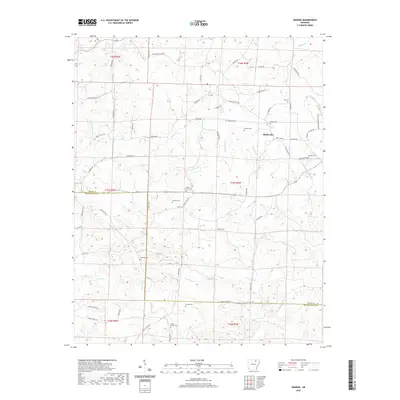
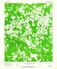 1961 Grange1963 Print · USGSThe foothills of the Arkansas Ozarks are captured here in the early sixties, showing the rural communities of Sharp and Independence counties. Researchers can trace dozens of local family sites and landmarks including Shelbyville, Grange, and the Charlotte Lookout Tower.2 unique versions available
 - 1986 Map of Batesville
 1986 Batesville1986 Print · USGSNorth-central Arkansas in the mid-eighties shows a landscape of river-bend towns and Ozark foothills during a period of steady growth. You can trace family roots through numerous upland sites like Hickory Valley School, Sandtown Hill Cem, and the riverfront at Oil Trough.2 unique versions available
 - 2011 Map of Grange, 2011 Print
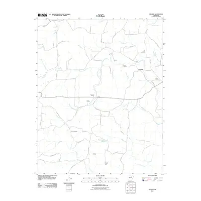 2011 Grange2011 Print · USGSCovers Shelbyville, including Aetna, Independence County, and other nearby areas
 - 2014 Map of Grange, 2014 Print
 2014 Grange2014 Print · USGSCovers Shelbyville, including Aetna, Independence County, and other nearby areas
 - 2017 Map of Grange, 2017 Print
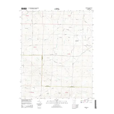
 2017 Grange2017 Print · USGSCovers Shelbyville, including Aetna, Independence County, and other nearby areas
 - 2020 Map of Grange, 2020 Print
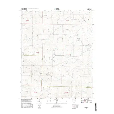
 2020 Grange2020 Print · USGSCovers Shelbyville, including Aetna, Independence County, and other nearby areas
 - 2024 Map of Grange, 2024 Print
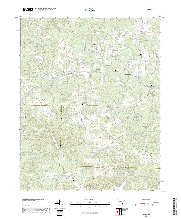 2024 Grange2024 Print · USGSSharp and Independence counties are captured here in the modern era, revealing a landscape defined by creek forks and family homesteads. Genealogists can trace rural roots at Shelbyville and numerous burial sites like Roe Cem or Cedar Grove Cem.
End of results
Showing maps 1-12 of 12
Top cities near Shelbyville
- Batesville historical maps
- Southside historical maps
- Cave City historical maps
- Tuckerman historical maps
- Sulphur Rock historical maps
- Evening Shade historical maps
See more
Frequently asked questions
- What are the different types of historical maps available for Shelbyville?
- What is the oldest map of Shelbyville?
- Where can I purchase historical maps of Shelbyville for my home or office?
- Where can I download high-res historical maps of Shelbyville?
- Are there historical topographic maps available for Shelbyville?
- Is there historical aerial imagery available for Shelbyville?
- Where are historical maps of Shelbyville sourced from?