Old Maps of Palestine, Arkansas for Academic Research
Study the evolution of Palestine with 15 high-resolution historic maps. Whether you're teaching, researching, or modeling changes in land use, these maps provide essential visual documentation of urban, environmental, and geographic change.
- Analyze long-term change: Track patterns in development, transportation, and natural features.
- Ideal for environmental or urban studies: Support academic projects with primary historical map data.
- Use in the classroom or lab: Educators and researchers rely on these maps to bring historical context to life.
These maps are a powerful tool for teaching, research, and visualizing how Palestine has changed over the decades.
Palestine, AR maps
(15)- 1940 Map of Marianna, 1942 Print
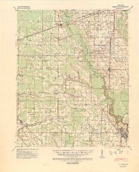 1940 Marianna1942 Print · USGSEastern Arkansas at the start of the 1940s is captured here in a landscape of river-bottom farms and rail-line towns. Researchers can locate numerous local landmarks including Scruggs Chapel, the Haunted Cem, and the river crossing at Felton.2 unique versions available
 - 1948 Map of Helena
 1948 Helena1948 Print · USGSEastern Arkansas and the Mississippi Delta are captured here just after the war, showing a landscape defined by its great rivers and rail lines. Genealogists can trace family locations near Bemis Plantation, Helena, and smaller rail stops like Wheatley and Moro.
 - 1950 Map of Helena
 1950 Helena1950 Print · USGSMid-century Phillips County and the surrounding Delta region are shown at a peak of rail and river commerce. Genealogists and historians can trace family locations through numerous rural communities like Old Austin, Cotton Plant, and West Helena, or follow the routes of the Missouri Pacific RR across Grand Prairie.2 unique versions available
 - 1955 Map of Helena, 1967 Print
 1955 Helena1967 Print · USGSThe Arkansas Delta and Mississippi floodplains are captured here in the mid-fifties, during a period of expanding flood control and rail commerce. Researchers can trace the extensive Chicago Rock Island and Pacific RR lines and locate sites like the Arkansas State College Experimental Rice Farm or Friars Point.2 unique versions available
 - 1957 Map of Marianna
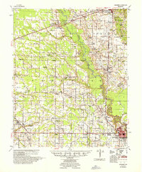 1957 Marianna1957 Print · USGSLee County's agricultural heartland is documented here in the mid-fifties, showing the intersection of rail lines and river commerce. Genealogists can trace family landmarks at Mars Hill Ch & Cem, Holub Crossing, and the rural community at Oak Forest.2 unique versions available
 - 1959 Map of Helena
 1959 Helena1959 Print · USGSThe Arkansas and Mississippi Delta regions are captured here in the late fifties, showing a landscape defined by the Mississippi River and the Grand Prairie. Genealogists and researchers can trace the rail networks of the Illinois Central RR and locate community landmarks like Helena and the White River National Wildlife Refuge.
 - 1960 Map of Helena
 1960 Helena1960 Print · USGSThe Arkansas and Mississippi Delta regions meet along the great river bends during a period of significant agricultural and rail expansion. Genealogists and historians can trace the paths of the Missouri Pacific railroad through Clarendon or locate landings along the Mississippi River and White River.
 - 1984 Map of Helena, 1985 Print
 1984 Helena1985 Print · USGSThe Delta landscape of Arkansas and Mississippi comes to life in this mid-eighties survey of river bends and ridge settlements. Researchers can trace the rail-and-river economy through Missouri Pacific lines and local landmarks like Whiskey Island or Marianna.
 - 1984 Map of Palestine, 1985 Print
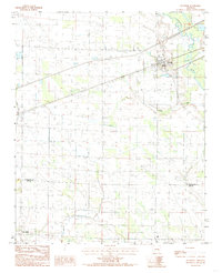 1984 Palestine1985 Print · USGSEastern Arkansas in the mid-eighties shows a landscape of river-bottom agriculture and rail-side towns. Genealogists and historians can trace the rural communities of Palestine, New Salem, and Gill along the Chicago Rock Island and Pacific line.
 - 1990 Map of Helena, 1991 Print
 1990 Helena1991 Print · USGSThe Arkansas and Mississippi delta regions meet here in the 1990s, where the great river's oxbows and islands define the state line. Genealogists and historians can trace the rail networks of the Illinois Central Gulf RR and local settlements like Palestine, Marvell, and La Grange.
 - 2011 Map of Palestine, 2011 Print
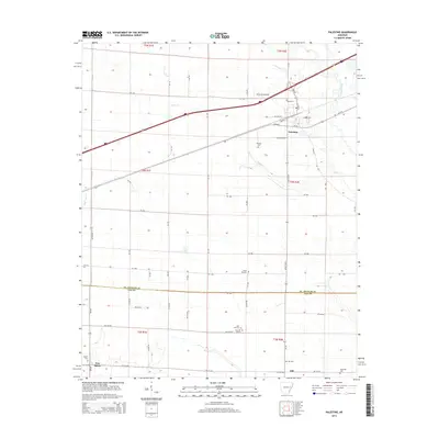
 2011 Palestine2011 Print · USGSCovers Palestine, including New Salem, Gill, and other nearby areas
 - 2014 Map of Palestine, 2014 Print
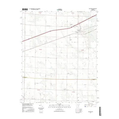
 2014 Palestine2014 Print · USGSCovers Palestine, including New Salem, Gill, and other nearby areas
 - 2017 Map of Palestine, 2017 Print
 2017 Palestine2017 Print · USGSCovers Palestine, including New Salem, Gill, and other nearby areas
 - 2020 Map of Palestine, 2020 Print
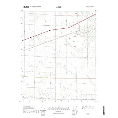 2020 Palestine2020 Print · USGSCovers Palestine, including New Salem, Gill, and other nearby areas
 - 2024 Map of Palestine, 2024 Print
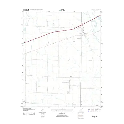
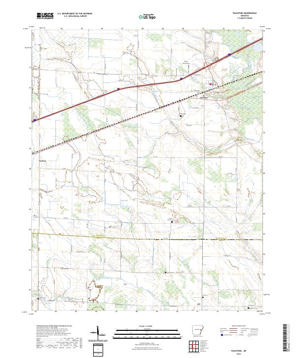 2024 Palestine2024 Print · USGSPalestine and the surrounding Delta farm country are captured here in the early twenty-first century as the region continues its long agricultural tradition. Genealogists and local historians can locate numerous small burial sites like Union Hill Cem and Martin Cem, or trace the paths of Larkin Creek and the L'Anguille River.
End of results
Showing maps 1-15 of 15
Top cities near Palestine
- Forrest City historical maps
- Wynne historical maps
- Marianna historical maps
- Madison historical maps
- Caldwell historical maps
- Colt historical maps
See more
Frequently asked questions
- What are the different types of historical maps available for Palestine?
- What is the oldest map of Palestine?
- Where can I purchase historical maps of Palestine for my home or office?
- Where can I download high-res historical maps of Palestine?
- Are there historical topographic maps available for Palestine?
- Is there historical aerial imagery available for Palestine?
- Where are historical maps of Palestine sourced from?