Old Maps of Shell Lake, Arkansas
Explore 12 old maps of Shell Lake, spanning from 1939 to today. These high-resolution historic maps reveal how streets, neighborhoods, landmarks, and natural features evolved over time — perfect for genealogy, metal detecting, research, and local history exploration.
What you can do with these maps:
- See how Shell Lake changed over time: Compare historical maps to modern-day views to trace roads, homesites, rail lines & more.
- View detailed metadata: Each map includes creators, publishers, year, scale, and archive source.
- Overlay maps with satellite & LiDAR: Visualize the past alongside modern tools to explore terrain & human change.
- Trusted historical sources: Maps sourced from the USGS, Library of Congress, and other archives.
- Access maps your way: View online, download high-res files, or order prints for personal or research use.
Start exploring old maps of Shell Lake to uncover forgotten places, hidden landmarks, and the deep history beneath your feet.
Shell Lake, AR maps
(12)- 1939 Map of Edmondson, 1942 Print
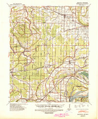 1939 Edmondson1942 Print · USGSCrittenden and St. Francis Counties are shown in the late thirties as a landscape of rail-connected farming towns and bayous. Genealogists can locate family landmarks like Garrett Cem, Macedonia Ch, and the combined Bellmeade Sch & Ch.
 - 1953 Map of Memphis, 1966 Print
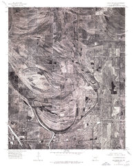
 1953 Memphis1966 Print · USGSEastern Arkansas and the Memphis riverfront are shown here during the mid-century period of regional growth and river management. Local historians can trace the paths of the Chicago Rock Island & Pacific RR through Forrest City or locate river landmarks like President's Island.3 unique versions available
 - 1954 Map of Edmondson, 1955 Print
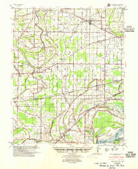 1954 Edmondson1955 Print · USGSCrittenden and St. Francis counties in the mid-fifties show a landscape of intricate Delta bayous and growing rural settlements. Genealogists can trace family roots through numerous local landmarks like Truevine Ch & Cem, Greasy Corner, and Crawfordsville.2 unique versions available
 - 1956 Map of Memphis
 1956 Memphis1956 Print · USGSThe Mississippi Delta and the bluffs of West Tennessee meet in the mid-fifties, showing a landscape defined by massive river systems and rail hubs. Researchers can trace the path of Crowleys Ridge or locate vanished river landings near Centennial Island and Island No 35.
 - 1975 Map of Edmondson NW, 1976 Print
 1975 Edmondson NW1976 Print · USGSCrittenden County land and field patterns are revealed in high detail during the mid-seventies. Genealogists and local historians can trace rural homesteads near Hanover, the winding course of Blackfish Bayou, and settlements like Shearerville.
 - 1981 Map of Jeanette, 1982 Print
 1981 Jeanette1982 Print · USGSCrittenden and St. Francis counties are shown here in the early 1980s, defined by the winding course of Blackfish Bayou. Researchers can locate historic family sites such as Kinsey Cem, the community of Jeanette, and the path of the Old Military Road.2 unique versions available
 - 1986 Map of Memphis West
 1986 Memphis West1986 Print · USGSThe Mississippi River delta and the rise of Crowleys Ridge define this mid-1980s look at the Mid-South. Researchers can trace the development of West Memphis and Marion or locate landmarks like Crittenden Mem Cem and Village Creek State Park.2 unique versions available
 - 2011 Map of Jeanette, 2011 Print
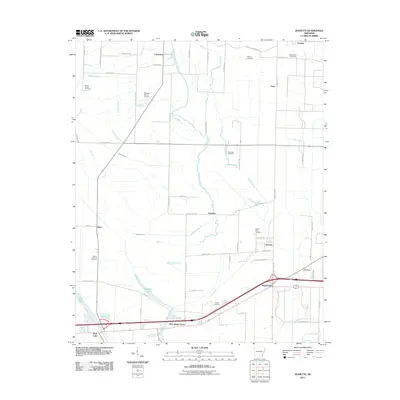 2011 Jeanette2011 Print · USGSCovers Shell Lake, including Jennette, Jeanette, and other nearby areas
 - 2014 Map of Jeanette, 2014 Print
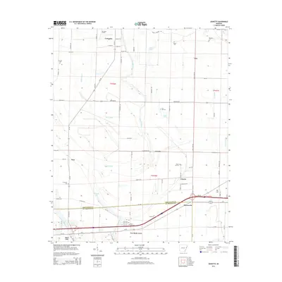 2014 Jeanette2014 Print · USGSCovers Shell Lake, including Jennette, Jeanette, and other nearby areas
 - 2017 Map of Jeanette, 2017 Print
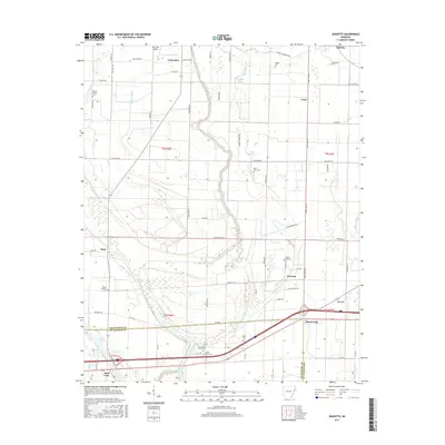 2017 Jeanette2017 Print · USGSCovers Shell Lake, including Jennette, Jeanette, and other nearby areas
 - 2020 Map of Jeanette, 2020 Print
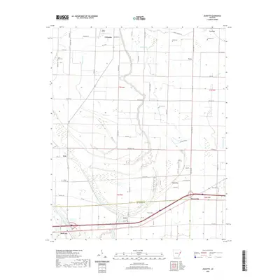 2020 Jeanette2020 Print · USGSCovers Shell Lake, including Jennette, Jeanette, and other nearby areas
 - 2024 Map of Jeanette, 2024 Print
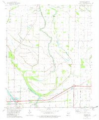
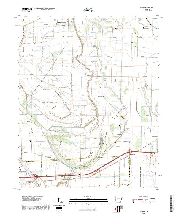 2024 Jeanette2024 Print · USGSCrittenden County at the turn of the 21st century remains a landscape defined by its waterways and small delta communities. Researchers can trace family roots at Pilgrim Rest Cem or explore the rural surroundings of Jennette, Dixie, and Shearerville.
End of results
Showing maps 1-12 of 12
Top cities near Shell Lake
- Memphis historical maps
- West Memphis historical maps
- Marion historical maps
- Earle historical maps
- Hughes historical maps
- Parkin historical maps
See more
Frequently asked questions
- What are the different types of historical maps available for Shell Lake?
- What is the oldest map of Shell Lake?
- Where can I purchase historical maps of Shell Lake for my home or office?
- Where can I download high-res historical maps of Shell Lake?
- Are there historical topographic maps available for Shell Lake?
- Is there historical aerial imagery available for Shell Lake?
- Where are historical maps of Shell Lake sourced from?