Old Maps of Five Points, Arkansas for Hiking & Exploration
Hike through history with 15 historic maps of Five Points. Explore old trails, ghost towns, and forgotten backroads — perfect for outdoor adventurers and local explorers.
- Rediscover forgotten places: Map out old mining camps, roads, and footpaths that no longer exist on modern maps.
- Layer with modern tools: Combine with LiDAR or satellite views to plan hikes through historical terrain.
- Made for exploration: Popular among hikers, overlanders, and local history lovers.
Use these maps to find adventure and explore the hidden past of Five Points.
Five Points, AR maps
(15)- 1933 Map of Strong, 1954 Print
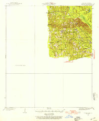 1933 Strong1954 Print · USGSUnion County, Arkansas, was a landscape of bayous and timber mills during the early 1930s. Genealogists and local historians can trace the rural fabric of the region through landmarks like George Cem, New London, and the Mcclendon Mill.
 - 1937 Map of Strong
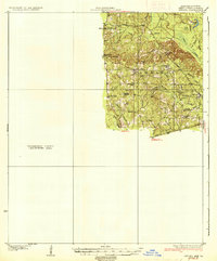 1937 Strong1937 Print · USGSUnion County and the bayou country of southern Arkansas are captured here during the 1930s. Genealogists and local historians can trace rural roots through landmarks like Wallace Cem, McClendon Mill, and Ebenezer Ch.2 unique versions available
 - 1939 Map of Strong, 1948 Print
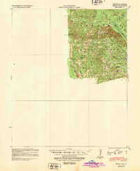 1939 Strong1948 Print · USGSUnion County, Arkansas, comes to life in the 1930s as a land of small timber settlements and rural parishes. Researchers can trace family roots through sites like Ebenezer Cem, McGlendon Mill, and the many schools including Gill Sch.
 - 1953 Map of El Dorado, 1967 Print
 1953 El Dorado1967 Print · USGSSouth Arkansas in the mid-1960s was a landscape of industrial growth and river-fed commerce. Researchers can trace the extensive Oil and Gas Fields around Magnolia, the expansive U S Naval Ammunition Depot, and the busy rail lines of the Missouri Pacific.3 unique versions available
 - 1957 Map of El Dorado
 1957 El Dorado1957 Print · USGSSouth Arkansas in the mid-1950s was a critical hub of military logistics and rail-river commerce. Genealogists and historians can trace family land across the Arkansas Louisiana border and locate sites like the U.S. Naval Ammunition Depot or the rail junctions at Magnolia and Camden.
 - 1958 Map of El Dorado
 1958 El Dorado1958 Print · USGSSouthern Arkansas and the Louisiana borderlands are shown during a period of heavy rail traffic and defense industry activity. Researchers can trace the legacy of the U. S. Naval Ammunition Depot or locate family roots in Smackover, Huttig, and Nashville.3 unique versions available
 - 1960 Map of El Dorado
 1960 El Dorado1960 Print · USGSSouth Central Arkansas in the late fifties was a hub of energy production and defense industry. Researchers can trace the extensive Oil and Gas Fields around El Dorado or locate family landmarks like Old Park Cem and New Hope Church.
 - 1981 Map of Gardner
 1981 Gardner1981 Print · USGSUnion County and Union Parish sit at the state line in the early eighties, where timber and oil intersect with small-town life. Genealogists and historians can trace numerous rural sites like Pleasant Grove Cem, the settlement of Aurelle, and the Missouri Pacific line.
 - 1985 Map of El Dorado, 1986 Print
 1985 El Dorado1986 Print · USGSSouth-central Arkansas and the Louisiana borderlands appear here in the mid-1980s, defined by the energy industry and river bottomlands. Genealogists and historians can locate rural landmarks like Old Parkers Chapel Cem, the Smackover Gas Field, and the El Dorado & Wesson RR.2 unique versions available
 - 1989 Map of El Dorado, 1990 Print
 1989 El Dorado1990 Print · USGSThe Arkansas-Louisiana borderlands in the late eighties show a landscape of heavy industry and wildlife conservation centered on the Ouachita River. Researchers can trace the legacy of timber and transport via the Missouri Pacific RR, Poison Springs State Forest, and the vast Felsenthal Pool.
 - 2011 Map of Gardner, 2011 Print
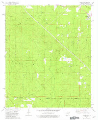
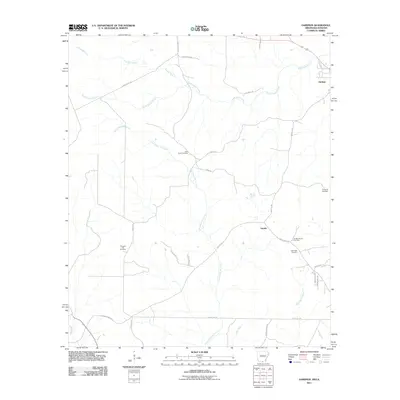 2011 Gardner2011 Print · USGSCovers Five Points, including Aurelle, Gardner, and other nearby areas
 - 2014 Map of Gardner, 2014 Print
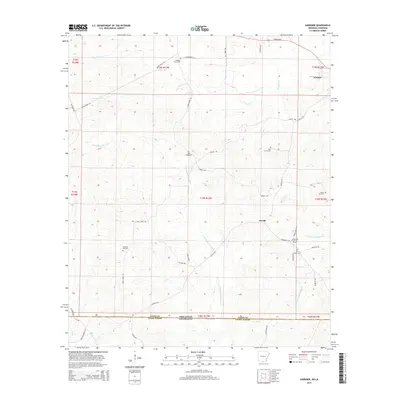 2014 Gardner2014 Print · USGSCovers Five Points, including Aurelle, Gardner, and other nearby areas
 - 2017 Map of Gardner, 2017 Print
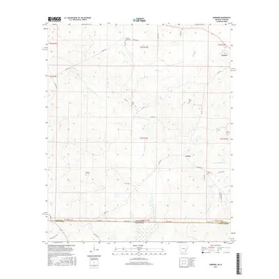 2017 Gardner2017 Print · USGSCovers Five Points, including Aurelle, Gardner, and other nearby areas
 - 2020 Map of Gardner, 2020 Print
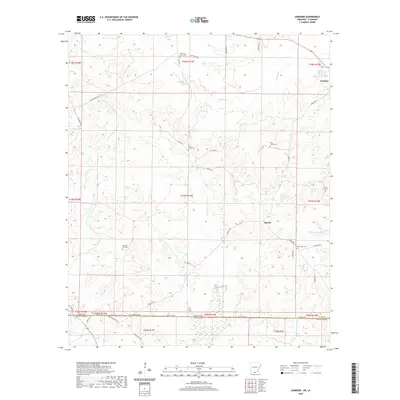 2020 Gardner2020 Print · USGSCovers Five Points, including Aurelle, Gardner, and other nearby areas
 - 2024 Map of Gardner, 2024 Print
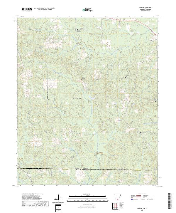 2024 Gardner2024 Print · USGSThe Arkansas-Louisiana state line south of Gardner comes into focus in this recent survey of the Union County borderlands. Researchers can trace rural lineages through numerous local sites including Pleasant Hill Cem, Pine Grove Cem, and the settlement of Aurelle.
End of results
Showing maps 1-15 of 15
Top cities near Five Points
- El Dorado historical maps
- Farmerville historical maps
- Bernice historical maps
- Marion historical maps
- Strong historical maps
- Spearsville historical maps
See more
Frequently asked questions
- What are the different types of historical maps available for Five Points?
- What is the oldest map of Five Points?
- Where can I purchase historical maps of Five Points for my home or office?
- Where can I download high-res historical maps of Five Points?
- Are there historical topographic maps available for Five Points?
- Is there historical aerial imagery available for Five Points?
- Where are historical maps of Five Points sourced from?