Old Maps of Hunter, Arkansas for Hiking & Exploration
Hike through history with 18 historic maps of Hunter. Explore old trails, ghost towns, and forgotten backroads — perfect for outdoor adventurers and local explorers.
- Rediscover forgotten places: Map out old mining camps, roads, and footpaths that no longer exist on modern maps.
- Layer with modern tools: Combine with LiDAR or satellite views to plan hikes through historical terrain.
- Made for exploration: Popular among hikers, overlanders, and local history lovers.
Use these maps to find adventure and explore the hidden past of Hunter.
Hunter, AR maps
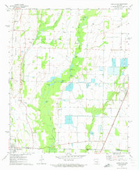
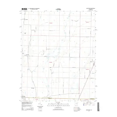
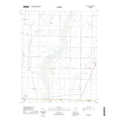
(18)- 1939 Map of Hunter, 1942 Print
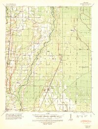 1939 Hunter1942 Print · USGSWoodruff and Cross counties were at the peak of their rail-driven economy just before the war, when timber and agriculture dominated the Delta. Genealogists can trace family names at Odd Fellows Cem or locate rural landmarks like Hillmann Jr High Sch and the Whitehall Ch & Cem.2 unique versions available
 - 1953 Map of Memphis, 1966 Print
 1953 Memphis1966 Print · USGSEastern Arkansas and the Memphis riverfront are shown here during the mid-century period of regional growth and river management. Local historians can trace the paths of the Chicago Rock Island & Pacific RR through Forrest City or locate river landmarks like President's Island.3 unique versions available
 - 1956 Map of Memphis
 1956 Memphis1956 Print · USGSThe Mississippi Delta and the bluffs of West Tennessee meet in the mid-fifties, showing a landscape defined by massive river systems and rail hubs. Researchers can trace the path of Crowleys Ridge or locate vanished river landings near Centennial Island and Island No 35.
 - 1956 Map of Hunter, 1968 Print
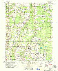
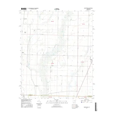
 1956 Hunter1968 Print · USGSEastern Arkansas at the mid-century mark reveals a landscape defined by the ST LOUIS SOUTHWESTERN rail line and the CACHE RIVER bottomlands. Researchers can locate numerous family-named landmarks and rural hubs, including Woodmans Cem, Beard Sch, and Whitehall Ch & Cem.
 - 1958 Map of Hunter
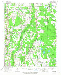
 1958 Hunter1958 Print · USGSEastern Arkansas at the dawn of the space age reveals a landscape defined by the Cache River and an extensive rail network. Genealogists and historians can trace family roots through numerous rural sites like Odd Fellows Cemetery, Beard School, and Whitehall Church and Cemetery.
 - 1971 Map of Hunter East, 1973 Print
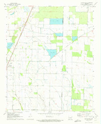 1971 Hunter East1973 Print · USGSIn the early 1970s, this portion of Woodruff and St. Francis Counties shows a landscape of intensive Delta farming and water management. Trace the path of the historic Military Road or locate the rural junction at Four Gums and the town of Hunter.2 unique versions available
 - 1971 Map of Hunter West, 1973 Print
 1971 Hunter West1973 Print · USGSWoodruff and Monroe counties in the early 1970s reveal a complex system of agricultural water management and small rural settlements. Trace the path of the St Louis Southwestern rail line or locate ancestral sites at Lake Grove Cem and Cotton Plant.3 unique versions available
 - 1986 Map of Searcy
 1986 Searcy1986 Print · USGSWhite County and its neighbors reached a period of established agricultural and rail prosperity by the mid-1980s. Local researchers can trace the routes of the Missouri Pacific RR and locate rural communities like Velvet Ridge, Sunnydale, and Cotton Plant.2 unique versions available
 - 2011 Map of Hunter East, 2011 Print
 2011 Hunter East2011 Print · USGSCovers Hunter, including Hillemann, Four Gums, and other nearby areas
 - 2011 Map of Hunter West, 2011 Print
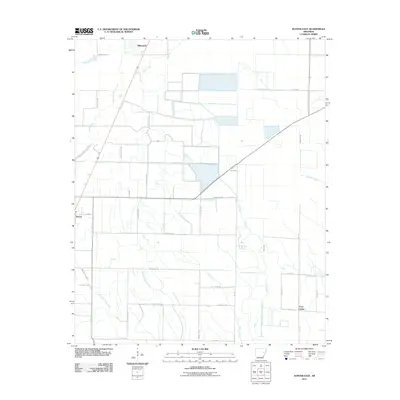
 2011 Hunter West2011 Print · USGSCovers Hunter, including Cotton Plant, Four Forks, and other nearby areas
 - 2014 Map of Hunter East, 2014 Print
 2014 Hunter East2014 Print · USGSCovers Hunter, including Hillemann, Four Gums, and other nearby areas
 - 2014 Map of Hunter West, 2014 Print
 2014 Hunter West2014 Print · USGSCovers Hunter, including Cotton Plant, Four Forks, and other nearby areas
 - 2017 Map of Hunter West, 2017 Print
 2017 Hunter West2017 Print · USGSCovers Hunter, including Cotton Plant, Four Forks, and other nearby areas
 - 2017 Map of Hunter East, 2017 Print
 2017 Hunter East2017 Print · USGSCovers Hunter, including Hillemann, Four Gums, and other nearby areas
 - 2020 Map of Hunter East, 2020 Print
 2020 Hunter East2020 Print · USGSCovers Hunter, including Hillemann, Four Gums, and other nearby areas
 - 2020 Map of Hunter West, 2020 Print
 2020 Hunter West2020 Print · USGSCovers Hunter, including Cotton Plant, Four Forks, and other nearby areas
 - 2024 Map of Hunter East, 2024 Print
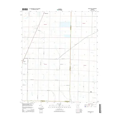
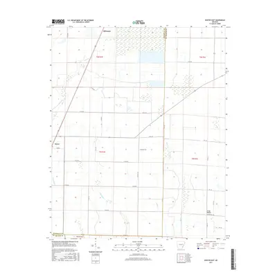
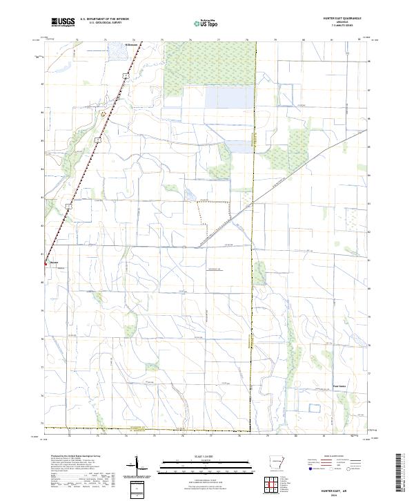 2024 Hunter East2024 Print · USGSWoodruff and St. Francis counties are captured here in the mid-2020s, showing a landscape defined by historic transit and drainage. Researchers can trace the diagonal path of the Old Military Rd or locate small settlements like Hunter and Four Gums.
 - 2024 Map of Hunter West, 2024 Print
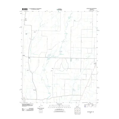
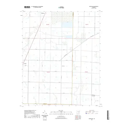
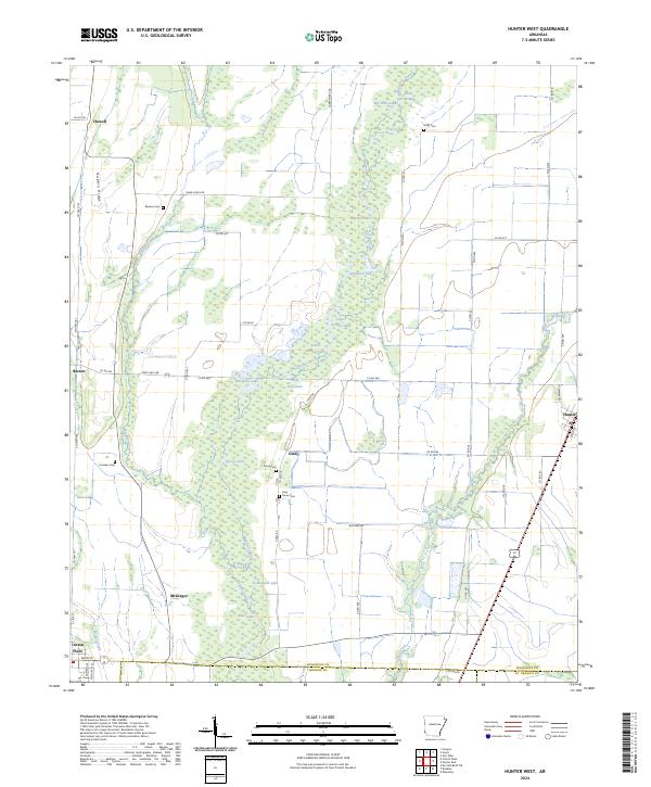 2024 Hunter West2024 Print · USGSEastern Arkansas at the edge of the Delta shows a land defined by its waterways and wildlife preserves. Genealogists and local historians can trace family locations near Cotton Plant or search for rural burial sites like Reneau Cem and Crowder Cem.
End of results
Showing maps 1-18 of 18
Top cities near Hunter
- Brinkley historical maps
- Augusta historical maps
- McCrory historical maps
- Cotton Plant historical maps
- Palestine historical maps
- Patterson historical maps
See more
Frequently asked questions
- What are the different types of historical maps available for Hunter?
- What is the oldest map of Hunter?
- Where can I purchase historical maps of Hunter for my home or office?
- Where can I download high-res historical maps of Hunter?
- Are there historical topographic maps available for Hunter?
- Is there historical aerial imagery available for Hunter?
- Where are historical maps of Hunter sourced from?