Old Maps of Curtner, Fremont for Hiking & Exploration
Hike through history with 17 historic maps of Curtner. Explore old trails, ghost towns, and forgotten backroads — perfect for outdoor adventurers and local explorers.
- Rediscover forgotten places: Map out old mining camps, roads, and footpaths that no longer exist on modern maps.
- Layer with modern tools: Combine with LiDAR or satellite views to plan hikes through historical terrain.
- Made for exploration: Popular among hikers, overlanders, and local history lovers.
Use these maps to find adventure and explore the hidden past of Curtner.
Curtner, Fremont maps
(17)- 1889 Map of San Jose, 1939 Print
 1889 San Jose1939 Print · USGSSanta Clara County during the late nineteenth century was a mosaic of historic ranchos and developing rail lines. Genealogists can trace family footprints through early settlements like Milpitas, Berryessa, and the grounds of the Santa Clara Co. Alms House.2 unique versions available
 - 1897 Map of San Jose
 1897 San Jose1897 Print · USGSThe Santa Clara Valley at the close of the nineteenth century is captured here as a landscape of vast ranchos and emerging rail towns. Genealogists can trace family lands across the Enright Tract or locate ancestors at the County Infirmary, Agnew, and Willow Glen.
 - 1899 Map of San Jose
 1899 San Jose1899 Print · USGSThe Santa Clara Valley at the end of the century reveals a landscape of ranchos and growing rail hubs. Genealogists can trace family names and institutions from San Jose to the Santa Clara Co. Alms House and Agnew asylum.6 unique versions available
 - 1943 Map of San Jose
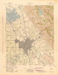 1943 San Jose1943 Print · USGSThe Santa Clara Valley is seen here in the early 1940s, showing a landscape of orchards and rail junctions. Trace family roots in San Jose or locate old landmarks like the Agnew State Hospital and Oak Hill Memorial Park.
 - 1947 Map of San Jose, 1948 Print
 1947 San Jose1948 Print · USGSNorthern California's heartland is captured here just after the war, showing the rapid growth of the Santa Clara and Central Valleys. Researchers can trace the legacy of rail and water at Castle Air Force Base, Stockton, and the Hetch Hetchy Aqueduct.
 - 1953 Map of Milpitas, 1955 Print
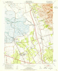 1953 Milpitas1955 Print · USGSThe South Bay marshlands and emerging suburban corridors of the early fifties are captured here before major development took hold. Researchers can trace the layout of Agnew State Hospital, the isolated rail stop at Drawbridge, and the historic Mission Santa Clara de Asis site.
 - 1953 Map of San Jose, 1959 Print
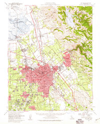 1953 San Jose1959 Print · USGSThe Santa Clara Valley comes alive in the mid-1950s, showing the transition from agricultural ranch lands to a growing suburban and industrial hub. Researchers can trace ancestral locations near Agnew State Hospital, the original village of Alviso, or the early campus of San Jose State College.
 - 1956 Map of San Jose
 1956 San Jose1956 Print · USGSCentral California in the mid-fifties reveals the transition from sprawling orchards to growing urban hubs like San Jose and Stockton. Genealogists and historians can trace the rail-era landscape of the Mother Lode through Chinese Camp and Tuttletown, or follow the water through the Joaquin River and Calaveras Reservoir.
 - 1961 Map of Milpitas, 1962 Print
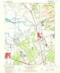 1961 Milpitas1962 Print · USGSThe South Bay marshlands and the Santa Clara Valley transition from an agricultural past to an industrial future in the early sixties. Researchers can trace the layout of Agnews State Hospital, the isolated rail stop at Drawbridge, and the massive Automobile Assembly Plant.7 unique versions available
 - 1961 Map of San Jose, 1963 Print
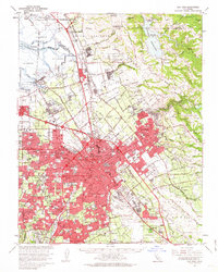 1961 San Jose1963 Print · USGSThe Santa Clara Valley undergoes a massive post-war transformation in the early sixties as suburbs sprawl toward the bay. Genealogists and local historians can trace the development of SUNNYVALE, the grounds of Agnews State Hospital, and the rail corridors of the Southern Pacific.2 unique versions available
 - 1962 Map of San Jose
 1962 San Jose1962 Print · USGSCentral California in the early sixties showcases the expansion of the San Joaquin and Santa Clara valleys. Researchers can trace the rail-to-road transition along the Southern Pacific RR or locate landmarks like Castle USAF Base and Loma Prieta.4 unique versions available
 - 1966 Map of San Jose
 1966 San Jose1966 Print · USGSCentral California in the mid-1960s reveals a landscape of massive irrigation projects and expanding Cold War military footprints. Researchers can trace the rail-and-river network of the San Joaquin Valley or locate specialized sites like Castle Air Force Base and the Sharp General Depot (Military).
 - 1978 Map of San Jose
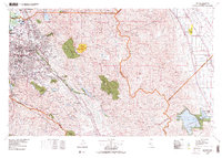 1978 San Jose1978 Print · USGSSanta Clara County and the East Bay hills are captured in the late seventies, showing the suburban sprawl of San Jose alongside the rural Central Valley. Trace the paths of the Southern Pacific railroad and find landmarks like New Almaden and Lick Observatory.
 - 2012 Map of Milpitas, 2012 Print
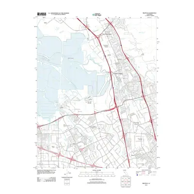 2012 Milpitas2012 Print · USGSSilicon Valley in the early 2010s shows a landscape of massive corporate growth and modern infrastructure overlaid on historic South Bay settlements. Researchers can trace the evolution of Alviso and the Warm Springs District or locate family sites at the Cedar Lawn Memorial Cem.
 - 2015 Map of Milpitas, 2015 Print
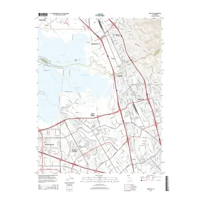 2015 Milpitas2015 Print · USGSThe South Bay landscape in the mid-2010s reveals a dense urban corridor where technology and history meet along Coyote Creek. Researchers can trace the development of Agnew and Alviso or locate local landmarks like the Cedar Lawn Memorial Cemetery.
 - 2018 Map of Milpitas, 2018 Print
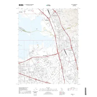 2018 Milpitas2018 Print · USGSThe South San Francisco Bay wetlands meet the rising Diablo Range during this era of intense Silicon Valley development. Researchers can trace the historic rail routes of the Union Pacific RR or locate landmarks like Alviso, the Cedar Lawn Memorial Cemetery, and Mission College.
 - 2021 Map of Milpitas, 2021 Print
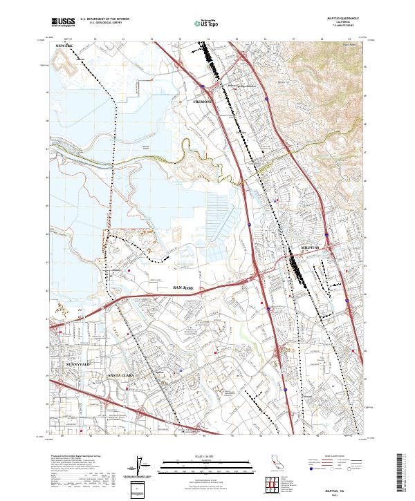 2021 Milpitas2021 Print · USGSThe southern reach of San Francisco Bay meets the Silicon Valley corridor in the early twenty-first century. Genealogists and local historians can trace the evolution of Agnew, Curtner, and Wayne alongside modern landmarks like Cedar Lawn Memorial Cem.
End of results
Showing maps 1-17 of 17
Frequently asked questions
- What are the different types of historical maps available for Curtner?
- What is the oldest map of Curtner?
- Where can I purchase historical maps of Curtner for my home or office?
- Where can I download high-res historical maps of Curtner?
- Are there historical topographic maps available for Curtner?
- Is there historical aerial imagery available for Curtner?
- Where are historical maps of Curtner sourced from?