Old Maps of Lombardi, California for Academic Research
Study the evolution of Lombardi with 16 high-resolution historic maps. Whether you're teaching, researching, or modeling changes in land use, these maps provide essential visual documentation of urban, environmental, and geographic change.
- Analyze long-term change: Track patterns in development, transportation, and natural features.
- Ideal for environmental or urban studies: Support academic projects with primary historical map data.
- Use in the classroom or lab: Educators and researchers rely on these maps to bring historical context to life.
These maps are a powerful tool for teaching, research, and visualizing how Lombardi has changed over the decades.
Lombardi, CA maps
(16)- 1891 Map of Big Trees
 1891 Big Trees1891 Print · USGSThe Sierra Nevada high country and gold country are seen here in the 1890s, a period defined by the mining economy and early mountain passage. Historians can trace early routes like the Bloods Toll Road and locate sites such as Sheep Ranch, the Keltz Mine, and Swiss Ranch.
 - 1894 Map of Big Trees
 1894 Big Trees1894 Print · USGSCentral California's high Sierra region is documented here in the 1890s, where river crossings and giant sequoia groves defined the landscape. Researchers can trace old mountain routes through Abbott Ferry and Parrott Ferry or locate early mining sites like the Riverside Mine.
 - 1897 Map of Big Trees
 1897 Big Trees1897 Print · USGSThe Sierra Nevada foothills and deep river canyons of the late nineteenth century are mapped here in detail before modern development. Genealogists and historians can trace early mountain life through landmarks like Bloods Toll, the Riverside Mine, and historic crossings at Abbott Ferry.
 - 1901 Map of Big Trees
 1901 Big Trees1901 Print · USGSThe High Sierra and Gold Country meet in this turn-of-the-century look at the groves and mining camps of the Mokelumne and Stanislaus watersheds. Trace the early boundaries of the Calaveras Grove, locate the Riverside Mine, or find river crossings like Parrott Ferry.9 unique versions available
 - 1947 Map of Sacramento, 1948 Print
 1947 Sacramento1948 Print · USGSThe Sacramento Valley meets the high Sierra during a period of post-war expansion. Trace the historic river delta islands like Grand Island or locate early airfield footprints at McClellan Air Force Base and Mather Air Force Base.2 unique versions available
 - 1948 Map of Sacramento, 1951 Print
 1948 Sacramento1951 Print · USGSPost-war Northern California comes alive in this regional survey, capturing the era of expansion between the Central Valley and the High Sierra. Researchers can trace the rail networks of the Central California Traction and Sacramento Northern RR or locate landmarks like the State Capitol and University of California Davis.
 - 1956 Map of Sacramento
 1956 Sacramento1956 Print · USGSMid-century California unfolds from the delta to the high Sierra, capturing a landscape of growing valley cities and burgeoning military airbases. Genealogists and historians can trace the rail lines and river towns from Woodland to Lodi, or explore the foothill settlements of Placerville and Jackson.2 unique versions available
 - 1956 Map of Big Meadow, 1959 Print
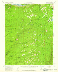 1956 Big Meadow1959 Print · USGSThe High Sierra backcountry near the Calaveras and Tuolumne border is captured here during the mid-1950s. Local history researchers can trace the locations of Bloods Toll Sta (Site), seasonal retreats like Cuneo Camp, and the early footprint of Calaveras Big Trees State Park.4 unique versions available
 - 1957 Map of Sacramento, 1966 Print
 1957 Sacramento1966 Print · USGSIn the mid-twentieth century, the California heartland was a hub of river transport, rail lines, and military airbases. Genealogists and historians can trace the development of Gold Country towns like Angels Camp and Sonora or follow the path of the Southern Pacific RR through the growing suburbs of Sacramento.4 unique versions available
 - 1979 Map of Tamarack
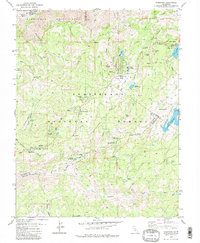 1979 Tamarack1979 Print · USGSCalaveras County high country in the late 1970s preserves the intersection of historic pioneer routes and modern wilderness recreation. Researchers can trace the Emigrant Trail, locate the Bloods Toll Sta Hist Site, and find remote outposts like Camp Wolfeboro.2 unique versions available
 - 1993 Map of San Andreas, 1994 Print
 1993 San Andreas1994 Print · USGSThe Mother Lode and High Sierra foothills come alive in the 1990s, showcasing a region defined by historic gold mining and massive water projects. Genealogists and historians can locate old mining sites and rural settlements like Volcano, San Andreas, and Mokelumne Hill.
 - 2001 Map of Tamarack, 2004 Print
 2001 Tamarack2004 Print · USGSHigh Sierra recreation and pioneer history meet in this early 2000s survey of the Stanislaus National Forest. Genealogists and historians can trace the Emigrant Trail and the Bloods Toll Sta Hist Site alongside developments like Sherman Acres.2 unique versions available
 - 2012 Map of Tamarack, 2012 Print
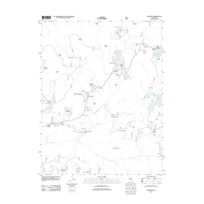 2012 Tamarack2012 Print · USGSCovers Lombardi, including Bear Valley, Tamarack, and other nearby areas
 - 2015 Map of Tamarack, 2015 Print
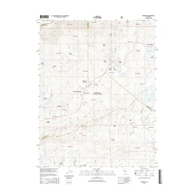 2015 Tamarack2015 Print · USGSCovers Lombardi, including Bear Valley, Tamarack, and other nearby areas
 - 2018 Map of Tamarack, 2018 Print
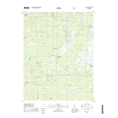 2018 Tamarack2018 Print · USGSCovers Lombardi, including Bear Valley, Tamarack, and other nearby areas
 - 2022 Map of Tamarack, 2022 Print
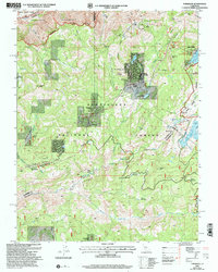
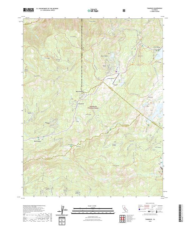 2022 Tamarack2022 Print · USGSHigh Sierra settlements and meadows emerge in this 2020s study of the Stanislaus National Forest and its alpine communities. Researchers can trace historic routes like the Emigrant Trl and explore family-named landmarks including Sherman Acres, Sapps Hill, and Jelmini Basin.
End of results
Showing maps 1-16 of 16
Top cities near Lombardi
Frequently asked questions
- What are the different types of historical maps available for Lombardi?
- What is the oldest map of Lombardi?
- Where can I purchase historical maps of Lombardi for my home or office?
- Where can I download high-res historical maps of Lombardi?
- Are there historical topographic maps available for Lombardi?
- Is there historical aerial imagery available for Lombardi?
- Where are historical maps of Lombardi sourced from?