Old Maps of Alamo Crest, California for Academic Research
Study the evolution of Alamo Crest with 13 high-resolution historic maps. Whether you're teaching, researching, or modeling changes in land use, these maps provide essential visual documentation of urban, environmental, and geographic change.
- Analyze long-term change: Track patterns in development, transportation, and natural features.
- Ideal for environmental or urban studies: Support academic projects with primary historical map data.
- Use in the classroom or lab: Educators and researchers rely on these maps to bring historical context to life.
These maps are a powerful tool for teaching, research, and visualizing how Alamo Crest has changed over the decades.
Alamo Crest, CA maps
(13)- 1896 Map of Mt. Diablo, 1964 Print
 1896 Mt. Diablo1964 Print · USGSThe northern slopes of the Diablo Range come alive in the 1890s, where mining settlements like Nortonville and Somersville thrived alongside the Empire R. R. and Star Mine. Trace early rail lines, family landmarks, and the rural roots of Danville and San Ramon.
 - 1898 Map of Mt. Diablo
 1898 Mt. Diablo1898 Print · USGSContra Costa County at the end of the nineteenth century was a rugged landscape of coal mining camps and cattle valleys. Genealogists and local historians can trace the early footprints of Nortonville, Stewartville, and the remote Star Mine nestled among the peaks of Monte del Diablo.7 unique versions available
 - 1943 Map of Mt. Diablo
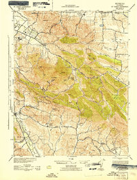 1943 Mt. Diablo1943 Print · USGSThe Mt. Diablo foothills and San Ramon Valley are captured here during the early 1940s, showcasing a landscape of cattle ranches and remote schoolhouses. Genealogists and local historians can locate early landmarks like Blackhawk Ranch, Cowell, and the Morgan Territory Sch.
 - 1947 Map of San Jose, 1948 Print
 1947 San Jose1948 Print · USGSNorthern California's heartland is captured here just after the war, showing the rapid growth of the Santa Clara and Central Valleys. Researchers can trace the legacy of rail and water at Castle Air Force Base, Stockton, and the Hetch Hetchy Aqueduct.
 - 1953 Map of Diablo, 1954 Print
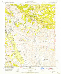 1953 Diablo1954 Print · USGSThe East Bay's inland valleys and foothills are captured here in the early fifties, just as the ranching era met suburban growth. Genealogists and local historians can locate early landmarks like Green Valley School, the San Ramon Siding, and the expansive Black Hawk Ranch.9 unique versions available
 - 1956 Map of San Jose
 1956 San Jose1956 Print · USGSCentral California in the mid-fifties reveals the transition from sprawling orchards to growing urban hubs like San Jose and Stockton. Genealogists and historians can trace the rail-era landscape of the Mother Lode through Chinese Camp and Tuttletown, or follow the water through the Joaquin River and Calaveras Reservoir.
 - 1962 Map of San Jose
 1962 San Jose1962 Print · USGSCentral California in the early sixties showcases the expansion of the San Joaquin and Santa Clara valleys. Researchers can trace the rail-to-road transition along the Southern Pacific RR or locate landmarks like Castle USAF Base and Loma Prieta.4 unique versions available
 - 1966 Map of San Jose
 1966 San Jose1966 Print · USGSCentral California in the mid-1960s reveals a landscape of massive irrigation projects and expanding Cold War military footprints. Researchers can trace the rail-and-river network of the San Joaquin Valley or locate specialized sites like Castle Air Force Base and the Sharp General Depot (Military).
 - 1989 Map of Stockton
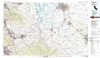 1989 Stockton1989 Print · USGSDuring the late 1980s, the California Delta and San Joaquin Valley saw a massive convergence of water infrastructure and military logistics. Researchers can trace the sprawling Lawrence Livermore Laboratory (Univ of Calif) and Sharpe Army Depot alongside the complex waterways of Union Island and Victoria Island.2 unique versions available
 - 2012 Map of Diablo, 2012 Print
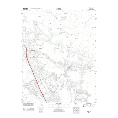 2012 Diablo2012 Print · USGSThe San Ramon Valley at the start of the 2010s shows a landscape where suburban growth meets the peaks of the Diablo Range. Researchers can trace the layout of Blackhawk, find the San Ramon Siding, and locate the San Ramon Veteran Civilian Conservation Corps Camp.
 - 2015 Map of Diablo, 2015 Print
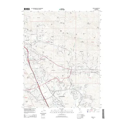 2015 Diablo2015 Print · USGSContra Costa County at the peak of its modern suburban development reveals a landscape shaped by high-relief ridges and narrow valleys. Genealogists and local historians can trace the evolution of Danville and San Ramon alongside landmarks like Rock City and the historic Diablo community.
 - 2018 Map of Diablo, 2018 Print
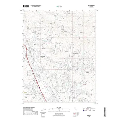 2018 Diablo2018 Print · USGSThe San Ramon Valley is shown in 2018 as a mature suburban corridor defined by its relationship with the surrounding Diablo Range. Local historians can trace the development of Danville and San Ramon alongside landmarks like Rock City and the Iron Horse Regional Trail.
 - 2021 Map of Diablo, 2021 Print
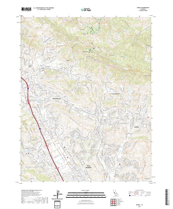 2021 Diablo2021 Print · USGSContra Costa County at the start of the 2020s shows a sophisticated blend of suburban growth and preserved open space along the foothills. Researchers can trace the modern development of Danville and San Ramon alongside geographic landmarks like Rock City and Black Hawk Ridge.
End of results
Showing maps 1-13 of 13
Frequently asked questions
- What are the different types of historical maps available for Alamo Crest?
- What is the oldest map of Alamo Crest?
- Where can I purchase historical maps of Alamo Crest for my home or office?
- Where can I download high-res historical maps of Alamo Crest?
- Are there historical topographic maps available for Alamo Crest?
- Is there historical aerial imagery available for Alamo Crest?
- Where are historical maps of Alamo Crest sourced from?