2020s Maps of Windstream, Danville
Explore 2 historic maps of Windstream from the 2020s. These maps offer a rare glimpse into what life looked like during the 2020s — showing old roads, neighborhoods, homes, and landmarks that have changed or disappeared over time.
Whether you're researching your family's past, planning a metal detecting trip, or studying how Windstream's landscape evolved across the 2020s, these high-resolution maps are a powerful tool for exploring the history of this region.
- Focus on a specific era: All maps on this page are from the 2020s, giving you a focused view of this time period.
- See what’s changed: Compare century-old streets, trails, and buildings to today's modern landscape using overlays and satellite layers.
- Research with precision: Use these maps for genealogy, historical research, land use analysis, or educational projects.
- View, download, or print: Maps are fully viewable online in high resolution, and can be downloaded or printed for your own records.
Start exploring Windstream's history through authentic maps from the 2020s. This is your window into the past.
Windstream, Danville maps
(2)- 2021 Map of Diablo, 2021 Print
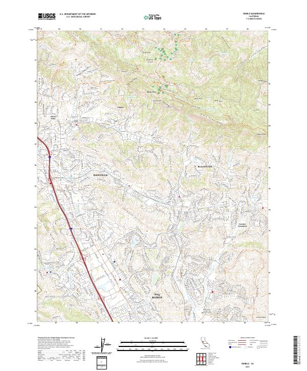 2021 Diablo2021 Print · USGSContra Costa County at the start of the 2020s shows a sophisticated blend of suburban growth and preserved open space along the foothills. Researchers can trace the modern development of Danville and San Ramon alongside geographic landmarks like Rock City and Black Hawk Ridge.
 - 2021 Map of Las Trampas Ridge, 2021 Print
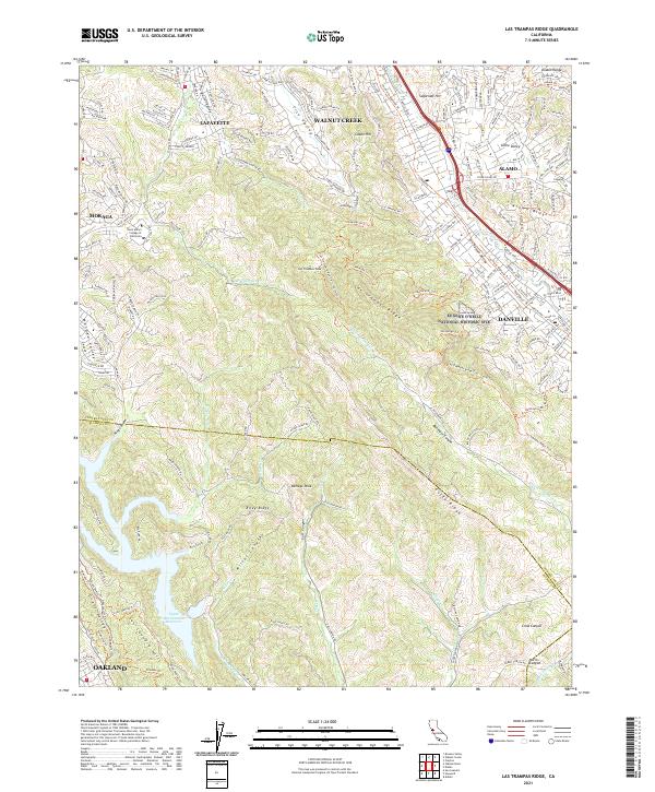 2021 Las Trampas Ridge2021 Print · USGSThe East Bay interior is shown here in the early twenty-first century, spanning the ridge lands between Walnut Creek and Danville. Trace the grounds of Saint Mary's College of California and the paths around Las Trampas Peak.
End of results
Showing maps 1-2 of 2
Frequently asked questions
- What are the different types of historical maps available for Windstream?
- What is the oldest map of Windstream?
- Where can I purchase historical maps of Windstream for my home or office?
- Where can I download high-res historical maps of Windstream?
- Are there historical topographic maps available for Windstream?
- Is there historical aerial imagery available for Windstream?
- Where are historical maps of Windstream sourced from?