1940s Maps of Pinole, California
Explore 12 historic maps of Pinole from the 1940s. These maps offer a rare glimpse into what life looked like during the 1940s — showing old roads, neighborhoods, homes, and landmarks that have changed or disappeared over time.
Whether you're researching your family's past, planning a metal detecting trip, or studying how Pinole's landscape evolved across the 1940s, these high-resolution maps are a powerful tool for exploring the history of this region.
- Focus on a specific era: All maps on this page are from the 1940s, giving you a focused view of this time period.
- See what’s changed: Compare century-old streets, trails, and buildings to today's modern landscape using overlays and satellite layers.
- Research with precision: Use these maps for genealogy, historical research, land use analysis, or educational projects.
- View, download, or print: Maps are fully viewable online in high resolution, and can be downloaded or printed for your own records.
Start exploring Pinole's history through authentic maps from the 1940s. This is your window into the past.
Pinole, CA maps
(12)- 1942 Map of Mare Island
 1942 Mare Island1942 Print · USGSThe northern reaches of San Pablo Bay come alive in this wartime survey, showing a landscape of vital naval yards and marshland agriculture. Genealogists and historians can trace rail depots like Napa Junction, rural landmarks like American Canyon School, and the industrial waterfronts of Vallejo and Oleum.
 - 1942 Map of Concord
 1942 Concord1942 Print · USGSThe East Bay interior was a landscape of expanding valley towns and deep-rooted ranching tracts in the early 1940s. Genealogists and historians can trace rail-era settlements like Concord, Lafayette, and Walnut Creek alongside local landmarks like St Marys College and Sherman Field.
 - 1943 Map of Concord
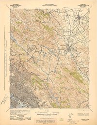 1943 Concord1943 Print · USGSThe East Bay and Contra Costa interior appear here during the wartime era, showing the transition from urban waterfronts to rural valley communities. Researchers can trace early rail lines like the Sacramento Northern RR and locate local landmarks such as St Marys College and Acalanes Sch.
 - 1947 Map of Santa Rosa
 1947 Santa Rosa1947 Print · USGSNorthern California in the late 1940s was a landscape of agricultural valleys and vital rail hubs. Trace the historic routes of the Northwestern Pacific through Healdsburg or explore the mid-century waterfronts of Vallejo and Benicia near Mare Island.
 - 1947 Map of San Francisco, 1948 Print
 1947 San Francisco1948 Print · USGSThe Bay Area in the late 1940s reveals a region transitioning from wartime intensity to post-war suburban growth. Trace the historic rail lines of the Southern Pacific RR or locate early military footprints at Fort Funston and Moffett Field.
 - 1947 Map of Richmond, 1952 Print
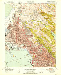 1947 Richmond1952 Print · USGSPost-war development transforms the East Bay shoreline as industry and suburbs expand between the bay and the hills. Trace mid-century landmarks like the Oil Tank Farm, Richmond Union HS, and the sprawling Charles Lee Tilden Regional Park.2 unique versions available
 - 1947 Map of Briones Valley, 1954 Print
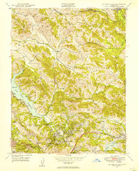 1947 Briones Valley1954 Print · USGSContra Costa County at the dawn of the postwar era shows the early expansion of Orinda and Lafayette into the surrounding hills. Genealogists and hikers can trace the original Briones Valley Sch, the winding path of Bear Creek, and the massive San Pablo Reservoir.
 - 1948 Map of San Francisco, 1951 Print
 1948 San Francisco1951 Print · USGSThe Bay Area in the late 1940s reveals a landscape defined by rapid post-war growth and a heavy military presence at the Golden Gate. Trace the development of early trans-bay infrastructure like the Oakland-Bay Bridge and historic coastal defense sites such as Fort Funston and Alcatraz Island.
 - 1949 Map of Santa Rosa
 1949 Santa Rosa1949 Print · USGSThe North Bay and Wine Country appear here in the late 1940s, when the Northwestern Pacific RR still dominated regional transit. Genealogists and historians can trace old coastal outposts like Anchor Bay Settlement and the early layout of Santa Rosa.2 unique versions available
 - 1949 Map of Briones Valley
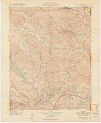 1949 Briones Valley1949 Print · USGSThe East Bay hills were in a state of quiet transition in the late 1940s, balancing rural ranching with vital municipal water projects. Researchers can find old landmarks like the Briones Valley Sch and trace the original path of the Atohison Topeka and Santa Fe railroad near Muir.2 unique versions available
 - 1949 Map of Richmond
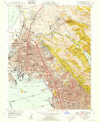 1949 Richmond1949 Print · USGSThe East Bay shoreline in the late forties shows a booming industrial and residential corridor shaped by the Southern Pacific rail lines. Researchers can trace mid-century neighborhood growth and find local landmarks like the Oil Tank Farm, St Joseph Cem, and Stege.2 unique versions available
 - 1949 Map of Mare Island, 1957 Print
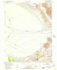 1949 Mare Island1957 Print · USGSThe Carquinez Strait and San Pablo Bay waterfronts are captured here during the post-war industrial peak. Researchers can trace historic shorelines and rail lines through Vallejo, the Mare Island Naval Reservation, and early industry at Oleum and Hercules.
End of results
Showing maps 1-12 of 12
Top cities near Pinole
- San Francisco historical maps
- Oakland historical maps
- Vallejo historical maps
- Berkeley historical maps
- Fairfield historical maps
- Richmond historical maps
See more
Top neighborhoods of Pinole
Frequently asked questions
- What are the different types of historical maps available for Pinole?
- What is the oldest map of Pinole?
- Where can I purchase historical maps of Pinole for my home or office?
- Where can I download high-res historical maps of Pinole?
- Are there historical topographic maps available for Pinole?
- Is there historical aerial imagery available for Pinole?
- Where are historical maps of Pinole sourced from?