2000s (21st Century) Maps of Richmond, California
Explore 20 historic maps of Richmond from the 2000s (21st Century). These maps offer a rare glimpse into what life looked like during the 2000s — showing old roads, neighborhoods, homes, and landmarks that have changed or disappeared over time.
Whether you're researching your family's past, planning a metal detecting trip, or studying how Richmond's landscape evolved across the 2000s, these high-resolution maps are a powerful tool for exploring the history of this region.
- Focus on a specific era: All maps on this page are from the 2000s, giving you a focused view of this time period.
- See what’s changed: Compare century-old streets, trails, and buildings to today's modern landscape using overlays and satellite layers.
- Research with precision: Use these maps for genealogy, historical research, land use analysis, or educational projects.
- View, download, or print: Maps are fully viewable online in high resolution, and can be downloaded or printed for your own records.
Start exploring Richmond's history through authentic maps from the 2000s. This is your window into the past.
Richmond, CA maps
(20)- 2012 Map of Mare Island, 2012 Print
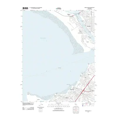 2012 Mare Island2012 Print · USGSCovers Richmond, including Vallejo, Hercules, and other nearby areas
 - 2012 Map of Petaluma Point, 2012 Print
 2012 Petaluma Point2012 Print · USGSCovers Richmond, including Vallejo, San Rafael, and other nearby areas
 - 2012 Map of Richmond, 2012 Print
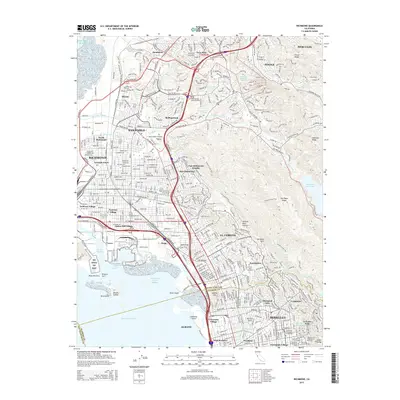
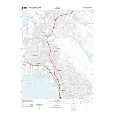 2012 Richmond2012 Print · USGSCovers Richmond, including San Francisco, Berkeley, and other nearby areas
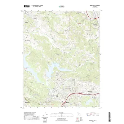
 - 2012 Map of Briones Valley, 2012 Print
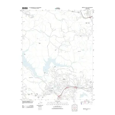 2012 Briones Valley2012 Print · USGSCovers Richmond, including Oakland, Berkeley, and other nearby areas
 - 2012 Map of San Quentin, 2012 Print
 2012 San Quentin2012 Print · USGSCovers Richmond, including San Francisco, San Rafael, and other nearby areas
 - 2015 Map of San Quentin, 2015 Print
 2015 San Quentin2015 Print · USGSCovers Richmond, including San Francisco, San Rafael, and other nearby areas
 - 2015 Map of Briones Valley, 2015 Print
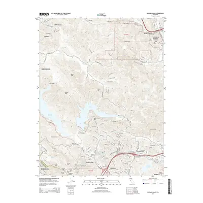 2015 Briones Valley2015 Print · USGSCovers Richmond, including Oakland, Berkeley, and other nearby areas
 - 2015 Map of Richmond, 2015 Print
 2015 Richmond2015 Print · USGSCovers Richmond, including San Francisco, Berkeley, and other nearby areas
 - 2015 Map of Petaluma Point, 2015 Print
 2015 Petaluma Point2015 Print · USGSCovers Richmond, including Vallejo, San Rafael, and other nearby areas
 - 2015 Map of Mare Island, 2015 Print
 2015 Mare Island2015 Print · USGSCovers Richmond, including Vallejo, Hercules, and other nearby areas
 - 2018 Map of Mare Island, 2018 Print
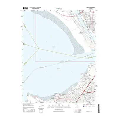
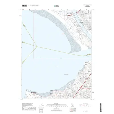 2018 Mare Island2018 Print · USGSCovers Richmond, including Vallejo, Hercules, and other nearby areas
 - 2018 Map of Petaluma Point, 2018 Print
 2018 Petaluma Point2018 Print · USGSCovers Richmond, including Vallejo, San Rafael, and other nearby areas
 - 2018 Map of San Quentin, 2018 Print
 2018 San Quentin2018 Print · USGSCovers Richmond, including San Francisco, San Rafael, and other nearby areas
 - 2018 Map of Richmond, 2018 Print
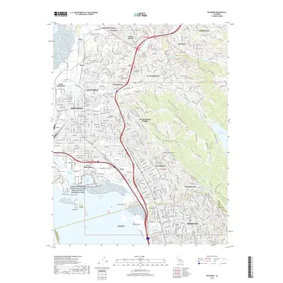 2018 Richmond2018 Print · USGSCovers Richmond, including San Francisco, Berkeley, and other nearby areas
 - 2018 Map of Briones Valley, 2018 Print
 2018 Briones Valley2018 Print · USGSCovers Richmond, including Oakland, Berkeley, and other nearby areas
 - 2021 Map of Briones Valley, 2021 Print
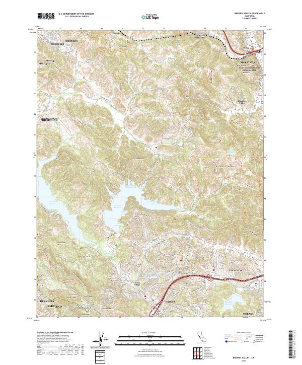 2021 Briones Valley2021 Print · USGSContra Costa County at the start of the 2020s shows a complex interface of suburban growth and protected ridge lands. Researchers can trace the Mokelumne Aqueduct or locate specific historical points like the John Muir National Historic Site and Orinda Village.
 - 2021 Map of Richmond, 2021 Print
 2021 Richmond2021 Print · USGSThe East Bay shoreline and Berkeley Hills are revealed in this modern survey of Richmond's industrial and academic landscape. Trace the shipyard legacy at Rosie the Riveter National Historical Park or locate family sites near Saint Joseph Cem and Contra Costa College.
 - 2021 Map of San Quentin, 2021 Print
 2021 San Quentin2021 Print · USGSThe Marin and Contra Costa shorelines meet at the San Pablo Strait in this contemporary survey of the northern Bay Area. Researchers can trace the waterfront from San Quentin down to the Tiburon Peninsula, or examine East Bay landmarks like Point Richmond and Brooks Island.
 - 2021 Map of Mare Island, 2021 Print
 2021 Mare Island2021 Print · USGSThe northern reaches of San Francisco Bay appear in high detail during the early 2020s, showing the dense urban and industrial development of the East Bay. Trace local history through the streets of Vallejo, the naval heritage of Mare Island, and family markers at Hillside Cem.
 - 2022 Map of Petaluma Point, 2022 Print
 2022 Petaluma Point2022 Print · USGSSan Pablo Bay and the Marin coastline are captured here in the early 2020s, showing the meeting of four major North Bay counties. Researchers can trace the unique shoreline topography of China Camp Point, the marshes of Tubbs Island, and hills like Turtle Back.
End of results
Showing maps 1-20 of 20
Top cities near Richmond
- San Francisco historical maps
- Oakland historical maps
- Vallejo historical maps
- Berkeley historical maps
- Fairfield historical maps
- San Leandro historical maps
See more
Top neighborhoods of Richmond
- Nitro historical maps
- Rheem historical maps
- Sobrante historical maps
- Point Richmond historical maps
- Giant historical maps
- Iron Triangle historical maps
See more
Frequently asked questions
- What are the different types of historical maps available for Richmond?
- What is the oldest map of Richmond?
- Where can I purchase historical maps of Richmond for my home or office?
- Where can I download high-res historical maps of Richmond?
- Are there historical topographic maps available for Richmond?
- Is there historical aerial imagery available for Richmond?
- Where are historical maps of Richmond sourced from?