2010s Maps of Richmond, California
Explore 15 historic maps of Richmond from the 2010s. These maps offer a rare glimpse into what life looked like during the 2010s — showing old roads, neighborhoods, homes, and landmarks that have changed or disappeared over time.
Whether you're researching your family's past, planning a metal detecting trip, or studying how Richmond's landscape evolved across the 2010s, these high-resolution maps are a powerful tool for exploring the history of this region.
- Focus on a specific era: All maps on this page are from the 2010s, giving you a focused view of this time period.
- See what’s changed: Compare century-old streets, trails, and buildings to today's modern landscape using overlays and satellite layers.
- Research with precision: Use these maps for genealogy, historical research, land use analysis, or educational projects.
- View, download, or print: Maps are fully viewable online in high resolution, and can be downloaded or printed for your own records.
Start exploring Richmond's history through authentic maps from the 2010s. This is your window into the past.
Richmond, CA maps
(15)- 2012 Map of Mare Island, 2012 Print
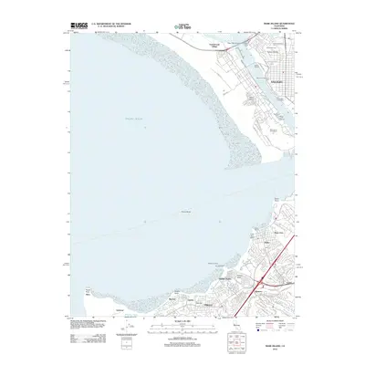 2012 Mare Island2012 Print · USGSThe maritime and industrial corridors of San Pablo Bay are captured here during a period of modern urban growth. Researchers can trace the development of Vallejo and Hercules, locating landmarks like Old Hillside Cem and the Hercules Wharf.
 - 2012 Map of Petaluma Point, 2012 Print
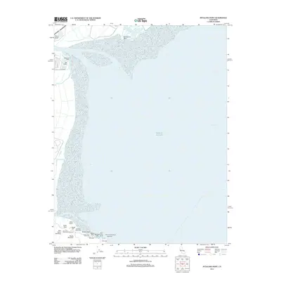 2012 Petaluma Point2012 Print · USGSSan Pablo Bay and the Sonoma shoreline come into focus in the early 2010s. Researchers can trace the coastal marshes around Port Sonoma Marina or explore the landmarks of China Camp and Miwok Meadows.
 - 2012 Map of Richmond, 2012 Print
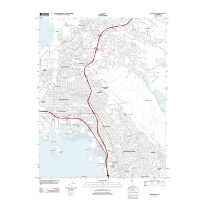 2012 Richmond2012 Print · USGSThe East Bay shoreline and its industrial heart are shown here in the early 2010s, from the docks of RICHMOND to the residential streets of ALBANY. Trace the complex layout of the Richmond Reserve Shipyard, Golden Gate Fields, and local neighborhoods like Stege.
 - 2012 Map of Briones Valley, 2012 Print
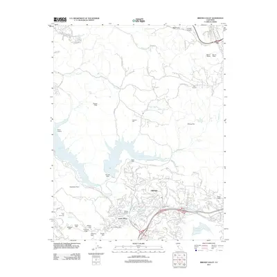 2012 Briones Valley2012 Print · USGSOrinda and the surrounding East Bay hills are captured here in the early 2010s, showcasing a landscape defined by significant water reservoirs and steep ridges. Researchers can trace local infrastructure like the Mokelumne Aqueduct and Claremont Water Tunnel alongside neighborhoods like Sleepy Hollow and Happy Valley.
 - 2012 Map of San Quentin, 2012 Print
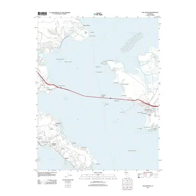 2012 San Quentin2012 Print · USGSThe North Bay’s industrial and residential waterfronts meet in the early twenty-first century, centered on the vital connection of the Richmond - San Rafael Bridge. Researchers can trace the maritime evolution of Point Richmond or locate landmarks like East Brother Lighthouse and San Quentin.
 - 2015 Map of San Quentin, 2015 Print
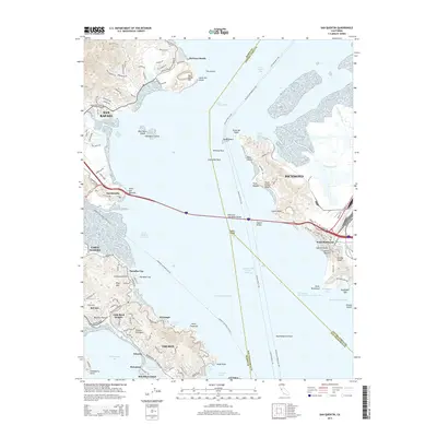 2015 San Quentin2015 Print · USGSThe northern San Francisco Bay comes alive in the mid-2010s, showing the vital ferry routes and bridge connections between Marin and Contra Costa counties. Trace the shorelines of Belvedere Island, the residential streets of Tiburon, and the industrial waterfront at Point Richmond.
 - 2015 Map of Briones Valley, 2015 Print
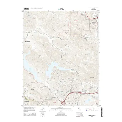 2015 Briones Valley2015 Print · USGSThe East Bay hills are captured here in the mid-2010s, showing a landscape defined by massive water reservoirs and ridge-top parklands. Genealogists and historians can locate legacy sites like the John Muir National Historic Site or trace the early paths of Alhambra Valley Road.
 - 2015 Map of Richmond, 2015 Print
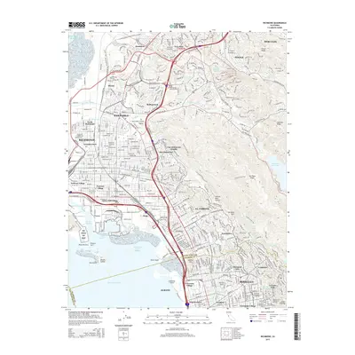 2015 Richmond2015 Print · USGSThe East Bay waterfront and hills are shown here during the mid-2010s, mapping the dense residential and industrial landscape from North Richmond to Berkeley. Genealogists can trace family locations near Saint Joseph Cemetery or explore established neighborhoods like Stege and Atchison Village.
 - 2015 Map of Petaluma Point, 2015 Print
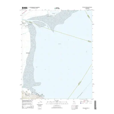 2015 Petaluma Point2015 Print · USGSSan Pablo Bay and the marshes of Novato appear in detail during this mid-2010s survey of the California coast. Researchers can trace the ferry routes of the Vallejo-San Francisco Fry or locate landmarks like China Camp Point, Petaluma Point, and Chicken Coop Hill.
 - 2015 Map of Mare Island, 2015 Print
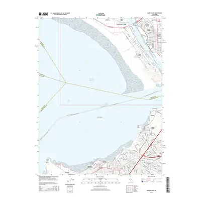 2015 Mare Island2015 Print · USGSThe northern San Francisco Bay waterfront is shown in detail during the mid-2010s, highlighting the historic naval and industrial corridor of the Carquinez Strait. Trace local genealogy and infrastructure through Old Hillside Cemetery, the Mare Island Cswy, and the coastal settlements of Rodeo and Oleum.
 - 2018 Map of Mare Island, 2018 Print
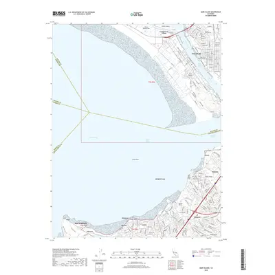 2018 Mare Island2018 Print · USGSThe industrial and naval heart of the North Bay comes alive in this modern survey of the Carquinez Strait. Genealogists and historians can trace the streets of Vallejo Heights, locate Old Hillside Cem, and follow the shoreline from Oleum to Pinole Point.
 - 2018 Map of Petaluma Point, 2018 Print
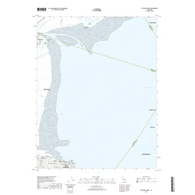 2018 Petaluma Point2018 Print · USGSSan Pablo Bay and the surrounding marshlands are shown here in the late 2010s, spanning the intersection of four counties. Researchers can trace the trails and landmarks of Back Ranch Meadows, the heights of Turtle Back Hill, and the shoreline of Day Island.
 - 2018 Map of San Quentin, 2018 Print
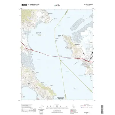 2018 San Quentin2018 Print · USGSThe San Francisco Bay waterfront is captured here in the late 2010s, showing the vital maritime connection between Marin and Contra Costa counties. Researchers can trace the developed coastlines of Tiburon and Point Richmond, and locate local landmarks like Blackie's Pasture or the Standard Oil Pier.
 - 2018 Map of Richmond, 2018 Print
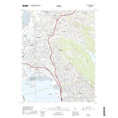 2018 Richmond2018 Print · USGSThe East Bay shoreline and ridges are shown here in detail during the late twenty-tens, from the industrial docks to the hills of El Sobrante. You can trace the historic shipyard legacy at Rosie The Riveter National Historical Park or locate family sites at Saint Joseph Cem.
 - 2018 Map of Briones Valley, 2018 Print
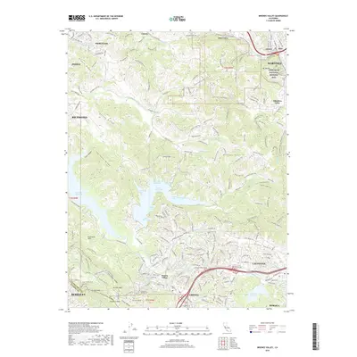 2018 Briones Valley2018 Print · USGSThe East Bay hills near the turn of the millennium show a landscape of protected ridges and expanding suburban communities. Researchers can trace the legacy of John Muir at the John Muir National Historic Site or explore the canyon topography of Glen Frazer and Vaca Canyon.
End of results
Showing maps 1-15 of 15
Top cities near Richmond
- San Francisco historical maps
- Oakland historical maps
- Vallejo historical maps
- Berkeley historical maps
- Fairfield historical maps
- San Leandro historical maps
See more
Top neighborhoods of Richmond
- Nitro historical maps
- Rheem historical maps
- Sobrante historical maps
- Point Richmond historical maps
- Giant historical maps
- Iron Triangle historical maps
See more
Frequently asked questions
- What are the different types of historical maps available for Richmond?
- What is the oldest map of Richmond?
- Where can I purchase historical maps of Richmond for my home or office?
- Where can I download high-res historical maps of Richmond?
- Are there historical topographic maps available for Richmond?
- Is there historical aerial imagery available for Richmond?
- Where are historical maps of Richmond sourced from?