2000s (21st Century) Maps of South Lake Tahoe, California
Explore 8 historic maps of South Lake Tahoe from the 2000s (21st Century). These maps offer a rare glimpse into what life looked like during the 2000s — showing old roads, neighborhoods, homes, and landmarks that have changed or disappeared over time.
Whether you're researching your family's past, planning a metal detecting trip, or studying how South Lake Tahoe's landscape evolved across the 2000s, these high-resolution maps are a powerful tool for exploring the history of this region.
- Focus on a specific era: All maps on this page are from the 2000s, giving you a focused view of this time period.
- See what’s changed: Compare century-old streets, trails, and buildings to today's modern landscape using overlays and satellite layers.
- Research with precision: Use these maps for genealogy, historical research, land use analysis, or educational projects.
- View, download, or print: Maps are fully viewable online in high resolution, and can be downloaded or printed for your own records.
Start exploring South Lake Tahoe's history through authentic maps from the 2000s. This is your window into the past.
South Lake Tahoe, CA maps
(8)- 2012 Map of Emerald Bay, 2012 Print
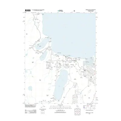 2012 Emerald Bay2012 Print · USGSCovers South Lake Tahoe, including Fallen Leaf, Camp Richardson, and other nearby areas
 - 2012 Map of South Lake Tahoe, 2012 Print
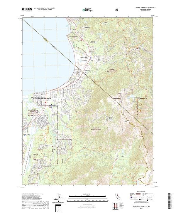
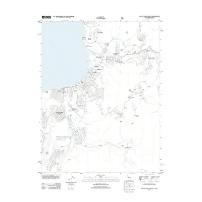 2012 South Lake Tahoe2012 Print · USGSCovers South Lake Tahoe, including Kingsbury, Stateline, and other nearby areas
 - 2015 Map of South Lake Tahoe, 2015 Print
 2015 South Lake Tahoe2015 Print · USGSCovers South Lake Tahoe, including Kingsbury, Stateline, and other nearby areas
 - 2015 Map of Emerald Bay, 2015 Print
 2015 Emerald Bay2015 Print · USGSCovers South Lake Tahoe, including Fallen Leaf, Camp Richardson, and other nearby areas
 - 2018 Map of Emerald Bay, 2018 Print
 2018 Emerald Bay2018 Print · USGSCovers South Lake Tahoe, including Fallen Leaf, Camp Richardson, and other nearby areas
 - 2018 Map of South Lake Tahoe, 2018 Print
 2018 South Lake Tahoe2018 Print · USGSCovers South Lake Tahoe, including Kingsbury, Stateline, and other nearby areas
 - 2021 Map of Emerald Bay, 2021 Print
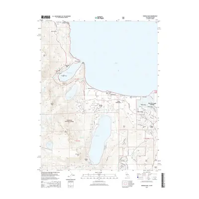
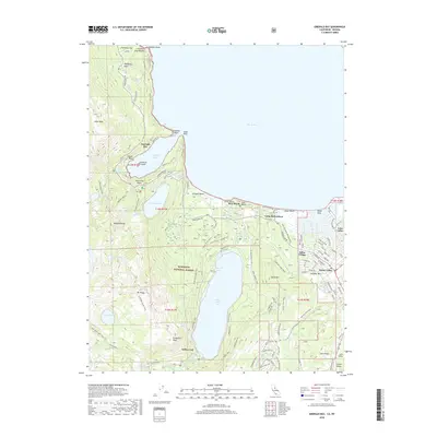
 2021 Emerald Bay2021 Print · USGSThe Lake Tahoe shoreline and the Eldorado National Forest appear in fine detail during the early 2020s. Researchers can trace the development of Tahoe Keys and identify historic recreation spots like Camp Richardson and Glen Alpine Spring.
 - 2021 Map of South Lake Tahoe, 2021 Print
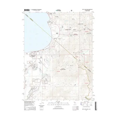
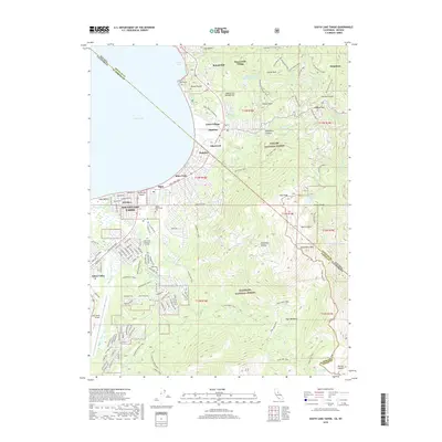
 2021 South Lake Tahoe2021 Print · USGSThe high Sierras meet the developed shoreline of the South Shore in the 2020s, showing a landscape defined by tourism and wilderness. Researchers can trace the boundaries of Stateline and Bijou Park, find Happy Homestead Cem, or explore the trails around Monument Peak.
End of results
Showing maps 1-8 of 8
Top cities near South Lake Tahoe
- Indian Hills historical maps
- Minden historical maps
- Kingsbury historical maps
- Meyers historical maps
- Tahoma historical maps
- Zephyr Cove historical maps
See more
Top neighborhoods of South Lake Tahoe
- Bijou historical maps
- Al Tahoe historical maps
- Lake Valley historical maps
- Bijou Park historical maps
- Tahoe Keys historical maps
- Tahoe Valley historical maps
See more
Frequently asked questions
- What are the different types of historical maps available for South Lake Tahoe?
- What is the oldest map of South Lake Tahoe?
- Where can I purchase historical maps of South Lake Tahoe for my home or office?
- Where can I download high-res historical maps of South Lake Tahoe?
- Are there historical topographic maps available for South Lake Tahoe?
- Is there historical aerial imagery available for South Lake Tahoe?
- Where are historical maps of South Lake Tahoe sourced from?