2000s (21st Century) Maps of Prather, California
Explore 6 historic maps of Prather from the 2000s (21st Century). These maps offer a rare glimpse into what life looked like during the 2000s — showing old roads, neighborhoods, homes, and landmarks that have changed or disappeared over time.
Whether you're researching your family's past, planning a metal detecting trip, or studying how Prather's landscape evolved across the 2000s, these high-resolution maps are a powerful tool for exploring the history of this region.
- Focus on a specific era: All maps on this page are from the 2000s, giving you a focused view of this time period.
- See what’s changed: Compare century-old streets, trails, and buildings to today's modern landscape using overlays and satellite layers.
- Research with precision: Use these maps for genealogy, historical research, land use analysis, or educational projects.
- View, download, or print: Maps are fully viewable online in high resolution, and can be downloaded or printed for your own records.
Start exploring Prather's history through authentic maps from the 2000s. This is your window into the past.
Prather, CA maps
(6)- 2004 Map of Millerton Lake East, 2007 Print
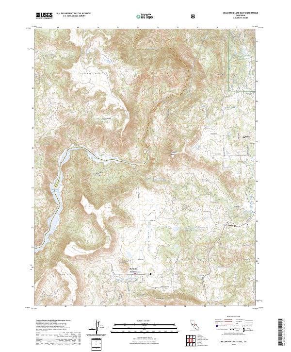
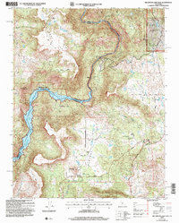 2004 Millerton Lake East2007 Print · USGSThe Sierra foothills and the San Joaquin River corridor are captured here at the turn of the millennium. Researchers can trace the legacy of ranching and early industry through sites like Auberry Cemetery, Sullivan Mine, and the Kerckhoff Powerhouse.2 unique versions available
 - 2012 Map of Millerton Lake East, 2012 Print
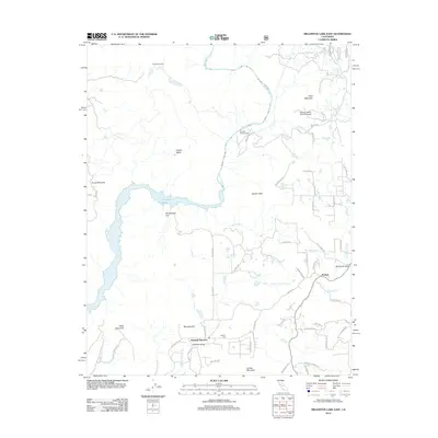 2012 Millerton Lake East2012 Print · USGSCovers Prather, including Marshall Junction, Fresno County, and other nearby areas
 - 2015 Map of Millerton Lake East, 2015 Print
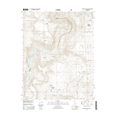 2015 Millerton Lake East2015 Print · USGSCovers Prather, including Marshall Junction, Fresno County, and other nearby areas
 - 2018 Map of Millerton Lake East, 2018 Print
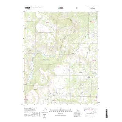 2018 Millerton Lake East2018 Print · USGSCovers Prather, including Marshall Junction, Fresno County, and other nearby areas
 - 2021 Map of Millerton Lake East, 2021 Print
 2021 Millerton Lake East2021 Print · USGSCovers Prather, including Marshall Junction, Fresno County, and other nearby areas
 - 2023 Map of Millerton Lake East, 2023 Print
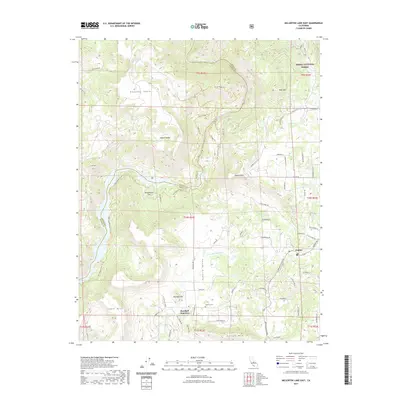
 2023 Millerton Lake East2023 Print · USGSThe eastern reaches of Fresno County are shown here in 2023, where the foothills rise into the Sierra Nevada. Trace local landmarks from Prather and Auberry to the banks of Millerton Lake and the Auberry Cem.
End of results
Showing maps 1-6 of 6
Top cities near Prather
Frequently asked questions
- What are the different types of historical maps available for Prather?
- What is the oldest map of Prather?
- Where can I purchase historical maps of Prather for my home or office?
- Where can I download high-res historical maps of Prather?
- Are there historical topographic maps available for Prather?
- Is there historical aerial imagery available for Prather?
- Where are historical maps of Prather sourced from?