Old Maps of Burlington, California for Hiking & Exploration
Hike through history with 11 historic maps of Burlington. Explore old trails, ghost towns, and forgotten backroads — perfect for outdoor adventurers and local explorers.
- Rediscover forgotten places: Map out old mining camps, roads, and footpaths that no longer exist on modern maps.
- Layer with modern tools: Combine with LiDAR or satellite views to plan hikes through historical terrain.
- Made for exploration: Popular among hikers, overlanders, and local history lovers.
Use these maps to find adventure and explore the hidden past of Burlington.
Burlington, CA maps
(11)- 1921 Map of Dyerville
 1921 Dyerville1921 Print · USGSNorthern California river country comes alive in the early twentieth century as the rail and timber industries expand. Trace family history and defunct rail stops through Dyerville, Pepperwood, and family landmarks like Eaton Ranch or the PAC. LBR. CO. SIDING.
 - 1949 Map of Weott, 1964 Print
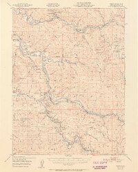
 1949 Weott1964 Print · USGSHumboldt County’s redwood country and river valleys are captured here just after the war, showing a network of ranching and timber settlements. Trace the early routes to Bridgeville or locate family-named landmarks like Sturm Ranch and Bluff Prairie Sch.
 - 1951 Map of Weott
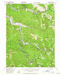
 1951 Weott1951 Print · USGSHumboldt County’s redwood heartland is mapped here in the early fifties as the legendary highway network began to take shape. Genealogists and historians can trace riverside settlements like Weott and Dyerville alongside the Northwestern Pacific Railroad and the famed Tallest Tree.2 unique versions available
 - 1958 Map of Redding
 1958 Redding1958 Print · USGSNorthern California's valley and mountain landscapes are captured in the late fifties, showing the region as new reservoirs reshaped the river systems. Genealogists and historians can trace rail-side towns like Cottonwood, the military presence at Red Bluff Air Force Station, and mountain outposts like Weaverville.5 unique versions available
 - 1969 Map of Weott, 1974 Print
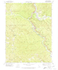 1969 Weott1974 Print · USGSHumboldt County’s redwood corridor is documented here during the late sixties, showing the integration of state parklands with river settlements. You can trace the historic Northwestern Pacific line or locate landmarks like the Founders Tree and the Dyerville site.2 unique versions available
 - 1979 Map of Garberville, 1996 Print
 1979 Garberville1996 Print · USGSThe redwood forests and river canyons of Humboldt and Trinity counties are shown here in the late seventies. Genealogists and historians can trace rail-side life along the Northwestern Pacific RR or locate small settlements like Fort Seward, Alderpoint, and Zenia.
 - 2012 Map of Weott, 2012 Print
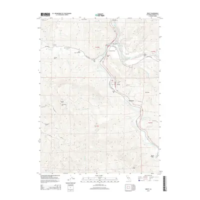
 2012 Weott2012 Print · USGSCovers Burlington, including Weott, Humboldt County, and other nearby areas
 - 2015 Map of Weott, 2015 Print
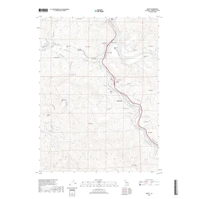
 2015 Weott2015 Print · USGSCovers Burlington, including Weott, Humboldt County, and other nearby areas
 - 2018 Map of Weott, 2018 Print
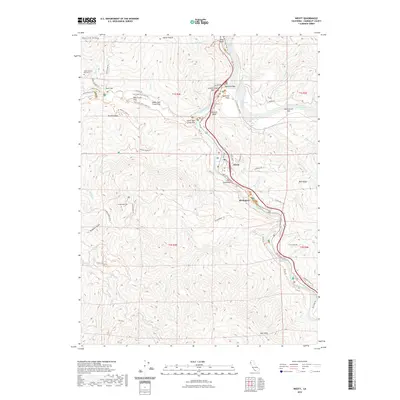
 2018 Weott2018 Print · USGSCovers Burlington, including Weott, Humboldt County, and other nearby areas
 - 2022 Map of Weott, 2022 Print
 2022 Weott2022 Print · USGSCovers Burlington, including Weott, Humboldt County, and other nearby areas
 - 2023 Map of Weott, 2023 Print
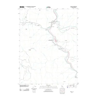
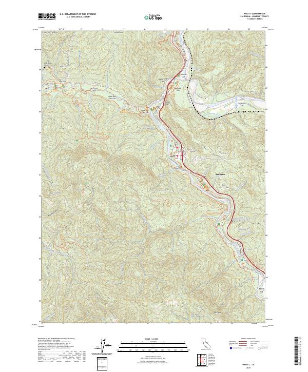 2023 Weott2023 Print · USGSHumboldt County’s redwood corridor is documented here in the early twenty-first century as it follows the winding South Fork Eel River. You can trace the path of the Ave of the Giants past Weott, locate the Addie Johnson Gravesite, and explore the vast flats of Bull Creek Flat.
End of results
Showing maps 1-11 of 11
Top cities near Burlington
Frequently asked questions
- What are the different types of historical maps available for Burlington?
- What is the oldest map of Burlington?
- Where can I purchase historical maps of Burlington for my home or office?
- Where can I download high-res historical maps of Burlington?
- Are there historical topographic maps available for Burlington?
- Is there historical aerial imagery available for Burlington?
- Where are historical maps of Burlington sourced from?