Old Maps of Fortuna, California for Metal Detecting
Plan your next treasure hunt with 17 historic maps of Fortuna. Find old homesites, ghost towns, trails, and gathering spots that may be lost to time — perfect for identifying promising metal detecting locations.
- Locate forgotten sites: Uncover places like long-lost settlements, abandoned rail lines, or gathering spots.
- Plan better hunts: Use map overlays combined with LiDAR or satellite views to narrow in on historically rich areas.
- Made for detectorists: Thousands of hobbyists use these maps to discover relics, coins, and hidden history.
Use these historic maps to boost your research and find new opportunities beneath the surface of Fortuna.
Fortuna, CA maps
(17)- 1944 Map of Fortuna
 1944 Fortuna1944 Print · USGSHumboldt County’s timber and ranching heartland is captured here in the early 1940s as the Eel River valley flourished. Genealogists can trace family roots through numerous rural school sites like Bucksport Sch and Grant Union Sch or the mill town of Falk.3 unique versions available
 - 1949 Map of Eureka
 1949 Eureka1949 Print · USGSCoastal Northern California in the late 1940s shows a landscape of timber towns and maritime outposts. You can trace the Northwestern Pacific rail line through Eureka or locate family landmarks like the Tyson Chrome Mine and Crescent City Lighthouse.2 unique versions available
 - 1958 Map of Eureka, 1967 Print
 1958 Eureka1967 Print · USGSNorthern California's rugged redwood coast and timber corridors are captured in the late fifties, from the Oregon border down to Shelter Cove. Researchers can trace the path of the Northwestern Pacific railroad and locate rural landmarks like Grizzly Bluff School or the St Josephs Sch.
 - 1958 Map of Eureka, 1978 Print
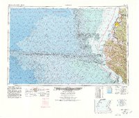 1958 Eureka1978 Print · USGSCoastal Humboldt County is captured here in the late fifties, showing the region's logging and maritime identity before later development changed the Eel River delta. Genealogists and historians can trace the Northwestern Pacific rail line and locate old community hubs like Rio Dell, Scotia, and Ferndale.
 - 1959 Map of Fortuna, 1961 Print
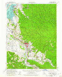 1959 Fortuna1961 Print · USGSCoastal Humboldt County thrived on a river-and-rail economy during the late fifties, where timber and transit met at the Pacific. Genealogists and historians can trace the foundations of Fortuna, Rohnerville, and Loleta, or locate family landmarks like Jones Prairie Sch and the Northwestern Pacific Railroad.2 unique versions available
 - 1959 Map of Fortuna, 1961 Print
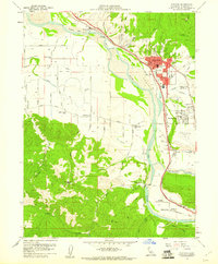 1959 Fortuna1961 Print · USGSHumboldt County’s Eel River Valley was a thriving timber and transit corridor when this survey was conducted in the late fifties. Genealogists and historians can locate old schools like Grizzly Bluff Sch, the St Pius X Seminary, and the original footprint of Fortuna.3 unique versions available
 - 1961 Map of Eureka
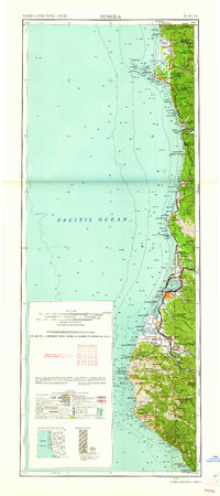 1961 Eureka1961 Print · USGSThe Northern California coast and its deep redwood forests are mapped here at a time when the timber and rail industries defined the region. Researchers can trace historic family ranches and remote sites like Fort Dick, Table Bluff Lighthouse, and the Copper Creek Mine.2 unique versions available
 - 1979 Map of Hydesville
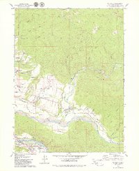 1979 Hydesville1979 Print · USGSHumboldt County’s timber and river communities are shown in the late seventies as industry and settlement expanded along the Eel River. Researchers can trace family sites at Rohnerville Cemetery, locate the Cuddeback Sch, or follow the Northwestern Pacific Railroad through Carlotta.2 unique versions available
 - 1987 Map of Eureka
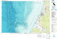 1987 Eureka1987 Print · USGSThe Humboldt County coastline in the late eighties reveals a landscape shaped by timber, transport, and the sea. Trace the Northwestern Pacific RR through Eureka or locate family roots near Ocean View Cem and Arlynda Corners.
 - 2012 Map of Hydesville, 2012 Print
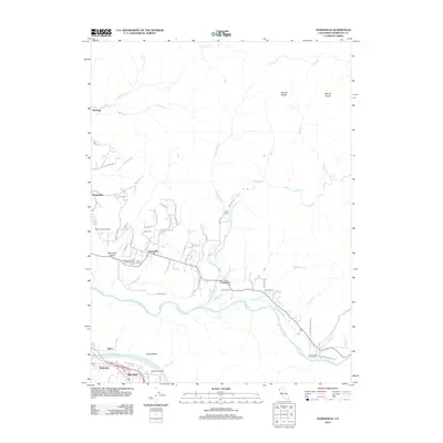 2012 Hydesville2012 Print · USGSHumboldt County’s river valleys and timber lands are captured here during the early twenty-first century. Genealogists and local historians can trace family roots through sites like the Masons and IOOF Cemetery or explore settlements along the Van Duzen River like Carlotta and Hydesville.
 - 2012 Map of Fortuna, 2012 Print
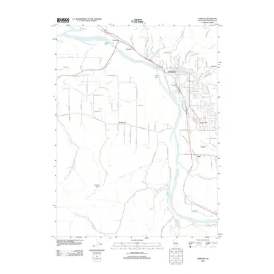 2012 Fortuna2012 Print · USGSHumboldt County's Eel River valley is shown here in the early twenty-first century, anchored by the city of Fortuna. Researchers can trace local landmarks and neighborhood layouts in Rohnerville, locate the historic Fernbridge, and follow the path of the Northwestern Pacific RR.
 - 2015 Map of Fortuna, 2015 Print
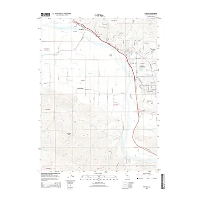 2015 Fortuna2015 Print · USGSThe Eel River valley in the mid-2010s shows a landscape defined by riverside settlements and coastal prairies. Genealogists and local historians can trace the foundations of Fortuna, Rohnerville, and Waddington alongside landmarks like Sunrise Cemetery.
 - 2015 Map of Hydesville, 2015 Print
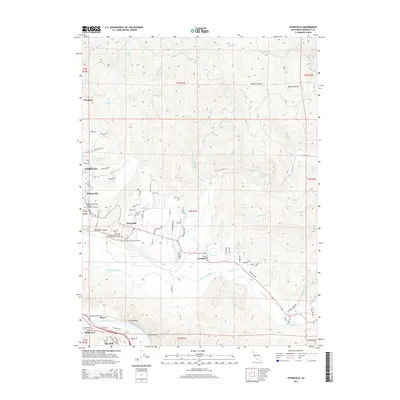 2015 Hydesville2015 Print · USGSThe Eel and Van Duzen Rivers converge in this 2015 survey of the Humboldt County foothills. Genealogists can locate several historic burial sites, including the Rohnerville Pioneer Masonic and IOOF Cemetery and the Hydesville Town Cemetery.
 - 2018 Map of Hydesville, 2018 Print
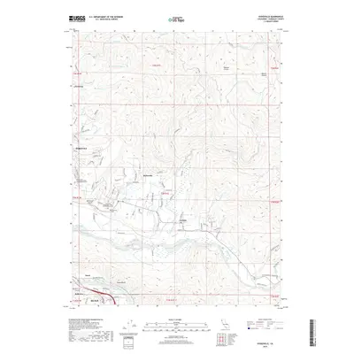 2018 Hydesville2018 Print · USGSHumboldt County’s river valleys and timberlands are captured here in the late twenty-teens as they center on the Van Duzen River. Researchers can trace the footprints of old communities at Hydesville, Carlotta, and Newburg, or locate family sites at the Hydesville Cem.
 - 2018 Map of Fortuna, 2018 Print
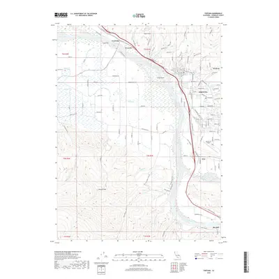 2018 Fortuna2018 Print · USGSThe Eel River valley in Humboldt County is shown here in the late twenty-teens as it transitions from fertile river flats to rising peaks. Genealogists and local historians can trace family locations near Fortuna and Alton, or locate the Sunrise Cem and Catholic Cem.
 - 2021 Map of Fortuna, 2021 Print
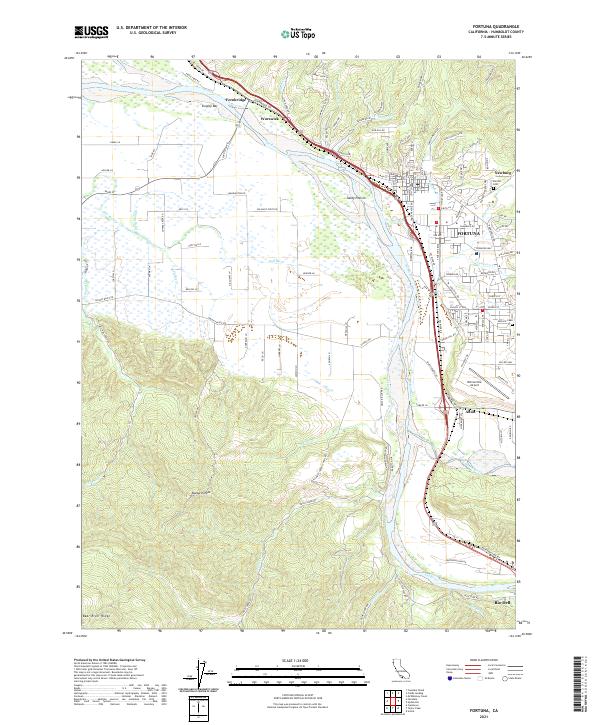 2021 Fortuna2021 Print · USGSCoastal Humboldt County is defined here by the winding Eel River and its fertile floodplain in the early twenty-first century. Researchers can trace the rail corridor of the Northwestern Pacific and locate family history at Sunrise Cemetery or the historic community of Fernbridge.
 - 2021 Map of Hydesville, 2021 Print
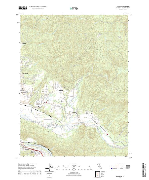 2021 Hydesville2021 Print · USGSHumboldt County’s river valleys and timberlands are documented here in the early twenty-first century as the Eel and Van Duzen Rivers converge. Genealogists and local historians can locate the Hydesville Cem, Blanton Prairie, and the historic Northwestern Pacific RR corridor.
End of results
Showing maps 1-17 of 17
Top cities near Fortuna
- Eureka historical maps
- Arcata historical maps
- Fortuna historical maps
- Rio Dell historical maps
- Ferndale historical maps
- Loleta historical maps
See more
Frequently asked questions
- What are the different types of historical maps available for Fortuna?
- What is the oldest map of Fortuna?
- Where can I purchase historical maps of Fortuna for my home or office?
- Where can I download high-res historical maps of Fortuna?
- Are there historical topographic maps available for Fortuna?
- Is there historical aerial imagery available for Fortuna?
- Where are historical maps of Fortuna sourced from?