Old Maps of Hacketsville, California for Genealogy
Trace your family roots with 13 historic maps of Hacketsville. These high-res maps reveal old neighborhoods, homesites, landmarks, and streets — helping you uncover where your ancestors lived and how the area evolved over time.
- Explore historic neighborhoods: Identify where your relatives may have lived in the 1800s or 1900s.
- Compare maps over time: Trace the changes in streets, buildings, and landmarks for multi-generational research.
- Perfect for genealogy & ancestry research: Used by family historians and researchers to map out lineage and migration.
These maps are an incredible resource for exploring your personal connection to Hacketsville's past.
Hacketsville, CA maps
(13)- 1919 Map of Glynn, 1945 Print
 1919 Glynn1945 Print · USGSCoastal Humboldt County at the end of the Great War reveals a landscape of industrial timber towns and remote family ranches. Researchers can trace early infrastructure along the Eel River or locate family landmarks like Giacomini Ranch and the Bull Creek Settlement.
 - 1949 Map of Eureka
 1949 Eureka1949 Print · USGSCoastal Northern California in the late 1940s shows a landscape of timber towns and maritime outposts. You can trace the Northwestern Pacific rail line through Eureka or locate family landmarks like the Tyson Chrome Mine and Crescent City Lighthouse.2 unique versions available
 - 1950 Map of Scotia, 1957 Print
 1950 Scotia1957 Print · USGSHumboldt County’s river valleys and ranch lands are captured here just after the war. Researchers can trace the Northwestern Pacific line through Scotia or locate remote homesteads like McClellan Ranch and the Upper Mattole School.2 unique versions available
 - 1951 Map of Scotia
 1951 Scotia1951 Print · USGSThe Eel River timber and ranching country thrives in the early fifties, centering on the mill town of Scotia and the Redwood Highway corridor. Researchers can trace family-named landmarks like the Chase Ranch, the Upper Mattole School, and rural outposts like Hacketsville.
 - 1958 Map of Eureka, 1967 Print
 1958 Eureka1967 Print · USGSNorthern California's rugged redwood coast and timber corridors are captured in the late fifties, from the Oregon border down to Shelter Cove. Researchers can trace the path of the Northwestern Pacific railroad and locate rural landmarks like Grizzly Bluff School or the St Josephs Sch.
 - 1958 Map of Eureka, 1978 Print
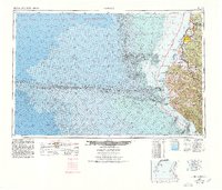 1958 Eureka1978 Print · USGSCoastal Humboldt County is captured here in the late fifties, showing the region's logging and maritime identity before later development changed the Eel River delta. Genealogists and historians can trace the Northwestern Pacific rail line and locate old community hubs like Rio Dell, Scotia, and Ferndale.
 - 1961 Map of Eureka
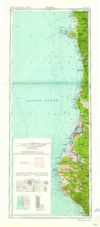 1961 Eureka1961 Print · USGSThe Northern California coast and its deep redwood forests are mapped here at a time when the timber and rail industries defined the region. Researchers can trace historic family ranches and remote sites like Fort Dick, Table Bluff Lighthouse, and the Copper Creek Mine.2 unique versions available
 - 1969 Map of Taylor Peak, 1974 Print
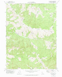 1969 Taylor Peak1974 Print · USGSHumboldt County ranching culture is well-documented in this late 1960s survey of the rugged ridges between the Bear and Mattole Rivers. Researchers can trace family-held lands like McClellan Ranch and Chase Ranch or locate the remote Cem near Hacketsville.
 - 1989 Map of Cape Mendocino
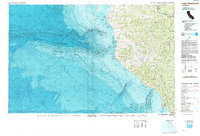 1989 Cape Mendocino1989 Print · USGSThe Humboldt coast in the late eighties reveals a landscape where massive redwoods meet the deep sea. Genealogists and historians can trace the remote outposts of Petrolia and Capetown or locate historic markers like the Punta Gorda Lighthouse.
 - 2012 Map of Taylor Peak, 2012 Print
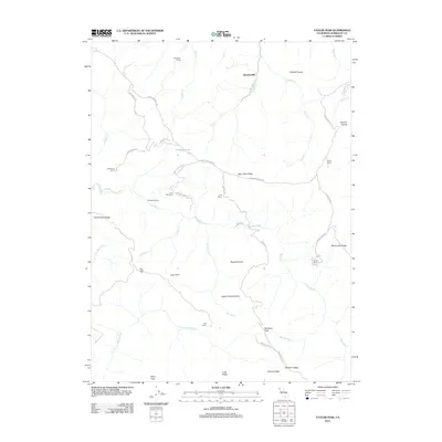 2012 Taylor Peak2012 Print · USGSIn the Humboldt County ranchlands during the early 2010s, this area is defined by massive private estates and river systems. Genealogists and researchers can trace the locations of family-named sites like McClellan Ranch, Hacketsville, and the remote Fruit Ranch.
 - 2015 Map of Taylor Peak, 2015 Print
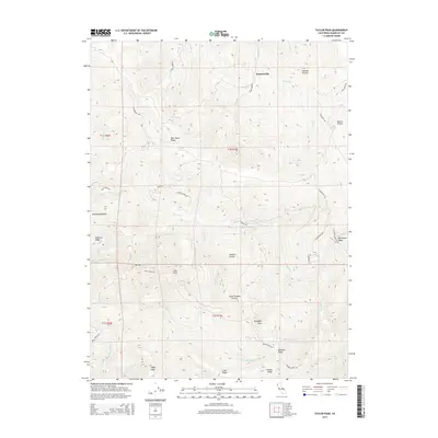 2015 Taylor Peak2015 Print · USGSHumboldt County high country is documented here in the mid-2010s, showing a landscape of remote ridges and isolated upland prairies. Researchers can trace ranching and access routes like Fruit Ranch Rd and locate landmarks such as Hacketsville, Taylor Peak, and Kinman Pond.
 - 2018 Map of Taylor Peak, 2018 Print
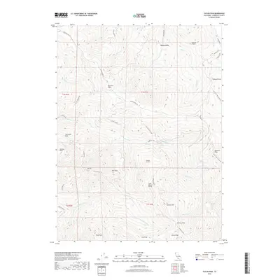 2018 Taylor Peak2018 Print · USGSThe upland prairies of Humboldt County are documented here in the late twenty-teens, showing a landscape of high ridges and remote settlements. Researchers can trace the path of Bear River Ridge Rd and locate the small cluster at Hacketsville.
 - 2021 Map of Taylor Peak, 2021 Print
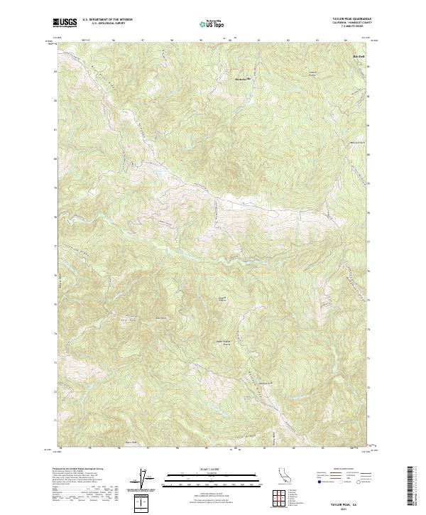 2021 Taylor Peak2021 Print · USGSCoastal Humboldt County in the early 2020s remains a landscape of high ridges and isolated prairies defined by the Bear and Mattole rivers. Researchers can trace land use through names like Hacketsville, Kinman Pond, and the family-named landmarks of Sidehill Prairie.
End of results
Showing maps 1-13 of 13
Top cities near Hacketsville
- Fortuna historical maps
- Fortuna historical maps
- Rio Dell historical maps
- Ferndale historical maps
- Loleta historical maps
- Scotia historical maps
See more
Frequently asked questions
- What are the different types of historical maps available for Hacketsville?
- What is the oldest map of Hacketsville?
- Where can I purchase historical maps of Hacketsville for my home or office?
- Where can I download high-res historical maps of Hacketsville?
- Are there historical topographic maps available for Hacketsville?
- Is there historical aerial imagery available for Hacketsville?
- Where are historical maps of Hacketsville sourced from?