Old Maps of Los Alamos International Center, Imperial County for Hiking & Exploration
Hike through history with 15 historic maps of Los Alamos International Center. Explore old trails, ghost towns, and forgotten backroads — perfect for outdoor adventurers and local explorers.
- Rediscover forgotten places: Map out old mining camps, roads, and footpaths that no longer exist on modern maps.
- Layer with modern tools: Combine with LiDAR or satellite views to plan hikes through historical terrain.
- Made for exploration: Popular among hikers, overlanders, and local history lovers.
Use these maps to find adventure and explore the hidden past of Los Alamos International Center.
Los Alamos International Center, Imperial County maps
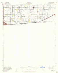
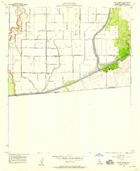
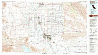
(15)- 1907 Map of Holtville
 1907 Holtville1907 Print · USGSCovers Los Alamos International Center, including Mexicali, Calexico, and other nearby areas4 unique versions available
 - 1940 Map of Calexico, 1957 Print
 1940 Calexico1957 Print · USGSCovers Los Alamos International Center, including Mexicali, Calexico, and other nearby areas
 - 1942 Map of El Centro
 1942 El Centro1942 Print · USGSCovers Los Alamos International Center, including Mexicali, Santa Isabel, and other nearby areas2 unique versions available
 - 1943 Map of Calexico, 1945 Print
 1943 Calexico1945 Print · USGSCovers Los Alamos International Center, including Mexicali, Calexico, and other nearby areas
 - 1953 Map of Calexico
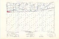 1953 Calexico1953 Print · USGSCovers Los Alamos International Center, including Mexicali, Calexico, and other nearby areas
 - 1954 Map of El Centro
 1954 El Centro1954 Print · USGSCovers Los Alamos International Center, including Mexicali, San Luis Río Colorado, and other nearby areas
 - 1955 Map of El Centro
 1955 El Centro1955 Print · USGSCovers Los Alamos International Center, including Mexicali, San Luis Río Colorado, and other nearby areas
 - 1957 Map of Calexico, 1958 Print
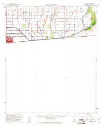
 1957 Calexico1958 Print · USGSCovers Los Alamos International Center, including Mexicali, Calexico, and other nearby areas4 unique versions available
 - 1957 Map of Bonds Corner, 1959 Print
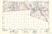
 1957 Bonds Corner1959 Print · USGSCovers Los Alamos International Center, including Bonds Corner, Municipio de Mexicali, and other nearby areas3 unique versions available
 - 1957 Map of Calexico, 1961 Print
 1957 Calexico1961 Print · USGSCovers Los Alamos International Center, including Mexicali, Calexico, and other nearby areas2 unique versions available
 - 1958 Map of El Centro, 1972 Print
 1958 El Centro1972 Print · USGSCovers Los Alamos International Center, including Mexicali, San Luis Río Colorado, and other nearby areas4 unique versions available
 - 1961 Map of El Centro
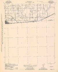
 1961 El Centro1961 Print · USGSCovers Los Alamos International Center, including Mexicali, San Luis Río Colorado, and other nearby areas
 - 1964 Map of El Centro
 1964 El Centro1964 Print · USGSCovers Los Alamos International Center, including Mexicali, San Luis Río Colorado, and other nearby areas
 - 1976 Map of Calexico, 1980 Print
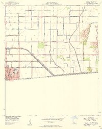
 1976 Calexico1980 Print · USGSCovers Los Alamos International Center, including Mexicali, Calexico, and other nearby areas
 - 1989 Map of El Centro, 1990 Print
 1989 El Centro1990 Print · USGSCovers Los Alamos International Center, including Mexicali, Santa Isabel, and other nearby areas
End of results
Showing maps 1-15 of 15
Frequently asked questions
- What are the different types of historical maps available for Los Alamos International Center?
- What is the oldest map of Los Alamos International Center?
- Where can I purchase historical maps of Los Alamos International Center for my home or office?
- Where can I download high-res historical maps of Los Alamos International Center?
- Are there historical topographic maps available for Los Alamos International Center?
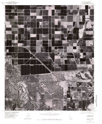
- Is there historical aerial imagery available for Los Alamos International Center?
- Where are historical maps of Los Alamos International Center sourced from?