Old Maps of Salton Sea Beach, California for Metal Detecting
Plan your next treasure hunt with 25 historic maps of Salton Sea Beach. Find old homesites, ghost towns, trails, and gathering spots that may be lost to time — perfect for identifying promising metal detecting locations.
- Locate forgotten sites: Uncover places like long-lost settlements, abandoned rail lines, or gathering spots.
- Plan better hunts: Use map overlays combined with LiDAR or satellite views to narrow in on historically rich areas.
- Made for detectorists: Thousands of hobbyists use these maps to discover relics, coins, and hidden history.
Use these historic maps to boost your research and find new opportunities beneath the surface of Salton Sea Beach.
Salton Sea Beach, CA maps
(25)- 1904 Map of Indio
 1904 Indio1904 Print · USGSThe Conchilla Desert and San Jacinto Mountains appear here at the turn of the century as the Southern Pacific rail corridor began to transform the valley. Trace early settlements and tribal lands like Cabezon Indian Res., Figtree John, and the Asbestos Mine.7 unique versions available
 - 1931 Map of Vallecito
 1931 Vallecito1931 Print · USGSThe Colorado Desert and its surrounding ranges are mapped here in the early thirties, showcasing a landscape defined by scarce water and massive terrain. Genealogists can trace isolated desert outposts like Fig Tree John and Agua Dulce or the original footprint of Borego Springs.
 - 1942 Map of Agua Dulce
 1942 Agua Dulce1942 Print · USGSThe Colorado Desert at the start of World War II reveals a landscape of high peaks and below-sea-level basins. Trace early desert life through the Oasis Sch, the remote Seventeen-Palms oasis, and the shoreline at Fish Springs.
 - 1943 Map of Vallecito
 1943 Vallecito1943 Print · USGSThe Colorado Desert during the early 1940s is captured here, showing the remote ranching outposts and new state park boundaries. Genealogists can trace family holdings like Oliver Ranch and Rancho De Anza or locate historic sites such as Borrego School and the Gypsum Mine.
 - 1944 Map of Agua Dulce
 1944 Agua Dulce1944 Print · USGSIn the 1940s, the desert floor between the Santa Rosa Mountains and the Salton Sea was a land of sparse outposts. You can trace old service stations and schools like the Oriols Service Sta and Oasis Sch, or find the locations of remote Fossil Beds and Seventeen Palms Spring.
 - 1947 Map of Santa Ana, 1949 Print
 1947 Santa Ana1949 Print · USGSSouthern California is depicted here in the late forties, showing the expansion of the Inland Empire and the Orange County coast. Researchers can trace the early layout of Palm Springs or locate long-standing tribal lands like the Pala Indian Reservation and Rincon Indian Res.
 - 1947 Map of Agua Dulce, 1952 Print
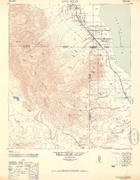 1947 Agua Dulce1952 Print · USGSThe Coachella Valley and Salton Sea shoreline are captured here in the late 1940s, showing a landscape of desert outposts and arid washes. Trace the early commercial footprint of Oasis, Coolidge Springs, and the Flemming Saw Mill along the western shore.
 - 1949 Map of Santa Ana
 1949 Santa Ana1949 Print · USGSSouthern California underwent a profound transformation in the late 1940s as military installations and citrus groves shared the landscape. Researchers can trace early coastal growth at Laguna Beach, military history at Camp Pendleton, and the rail corridors of the Pacific Electric.
 - 1952 Map of Agua Dulce
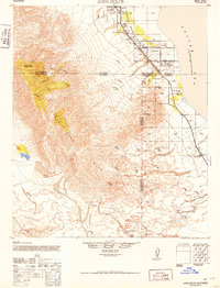 1952 Agua Dulce1952 Print · USGSThe Coachella Valley and Santa Rosa Mountains are depicted here in the early fifties as desert travel and local industry expanded. Researchers can trace historic routes like the Truckhaven Trail and locate early landmarks such as the Flemming Saw Mill or Oasis Sch.
 - 1956 Map of Santa Ana
 1956 Santa Ana1956 Print · USGSSouthern California underwent massive mid-century transformation as suburban growth met major military and water projects. Trace the postwar expansion of Santa Ana and Riverside, the layout of Camp Pendleton, and the path of the Colorado River Aqueduct.
 - 1956 Map of Oasis, 1957 Print
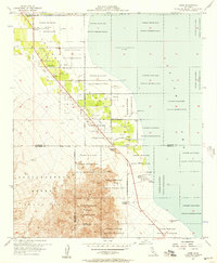 1956 Oasis1957 Print · USGSThe Coachella Valley meets the Salton Sea in the mid-1950s, showing a desert landscape being transformed by irrigation and early tourism. Genealogists and historians can locate Oasis Sch, find early lots in Desert Shores, and trace the boundaries of the Torres Martinez Indian Reservation.3 unique versions available
 - 1956 Map of Seventeen Palms, 1958 Print
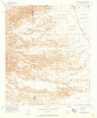 1956 Seventeen Palms1958 Print · USGSThe Imperial County desert comes into focus during the mid-fifties, showing the intersection of tribal lands and early mining efforts. Trace the routes of the Truckhaven Trail and find isolated desert water sources like Seventeen Palms and Four Palms Spring.5 unique versions available
 - 1959 Map of Rabbit Peak, 1961 Print
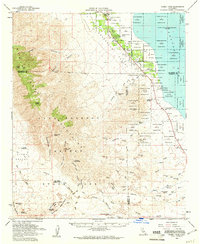 1959 Rabbit Peak1961 Print · USGSThe northern reaches of the Colorado Desert come into focus in the late fifties, showing the interplay between the Salton Sea and the Santa Rosa Mountains. Genealogists and historians can trace the development of Oasis, locate the Calcite Mine, or follow the Truckhaven Road through the Borrego Badlands.2 unique versions available
 - 1959 Map of Santa Ana, 1971 Print
 1959 Santa Ana1971 Print · USGSSouthern California is captured in a decade of transformation, from the Orange County coast to the desert floor. Researchers can trace the mid-century footprints of Camp Pendleton, March Air Force Base, and the original Ortega Highway.3 unique versions available
 - 1960 Map of Santa Ana
 1960 Santa Ana1960 Print · USGSSouthern California's coastal plains and inland deserts meet in this mid-century survey of the burgeoning Orange and Riverside county corridors. Researchers can trace the layout of early freeway systems, find tribal lands like the Soboba Indian Reservation, and locate military landmarks such as March Field.2 unique versions available
 - 1965 Map of Santa Ana
 1965 Santa Ana1965 Print · USGSSouthern California is captured in a decade of rapid growth, showing the coastal expansion from Santa Ana down to Oceanside. Genealogists and historians can trace the mid-century development of places like Garden Grove or the rural reaches of Escondido and the Palomar Observatory.
 - 1982 Map of Borrego Valley, 1983 Print
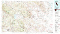 1982 Borrego Valley1983 Print · USGSThe high desert and coastal mountains of San Diego County come together in the early eighties. Researchers can trace the boundaries of the Los Coyotes Indian Reservation or locate the Desert Queen Mine and Palomar Observatory.2 unique versions available
 - 2012 Map of Seventeen Palms, 2012 Print
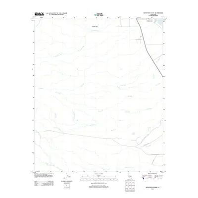 2012 Seventeen Palms2012 Print · USGSThe Colorado Desert at the start of the 2010s reveals a landscape of ancient water sources and modern park boundaries. Researchers can trace the path of desert travelers through Anza-Borrego Desert State Park to Seventeen Palms Spring and Four Palms Spring.
 - 2012 Map of Oasis, 2012 Print
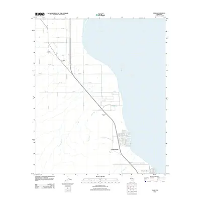 2012 Oasis2012 Print · USGSThe western shoreline of the Salton Sea comes into focus here in the early twenty-first century as agricultural grids meet the desert. Trace the development of Salton Sea Beach and Coolidge Springs or locate landmarks like Travertine Rock and Fish Spring.
 - 2015 Map of Oasis, 2015 Print
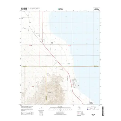 2015 Oasis2015 Print · USGSThe western shores of the Salton Sea and the rugged foothills of the Santa Rosa Mountains come together in this 2010s survey. Researchers can trace local development in Oasis or locate shoreline settlements like Desert Shores and Salton Sea Beach.
 - 2015 Map of Seventeen Palms, 2015 Print
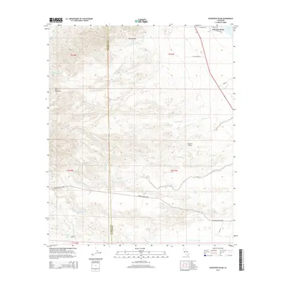 2015 Seventeen Palms2015 Print · USGSThe arid desert floor and rising mountains near the San Diego and Imperial County border come into focus in the mid-2010s. Researchers can locate vital water sources and early infrastructure like Seventeen Palms Spring, Four Palms Spring, and the Anza Ditch.
 - 2018 Map of Oasis, 2018 Print
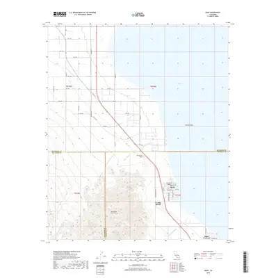 2018 Oasis2018 Print · USGSThe northern shores of the Salton Sea are captured here in the late 2010s at the intersection of Riverside, Imperial, and San Diego counties. Local historians can trace the street layouts of Desert Shores and Salton Sea Beach or locate Travertine Rock at the foot of the Santa Rosa Mountains.
 - 2018 Map of Seventeen Palms, 2018 Print
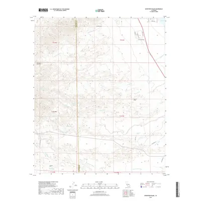 2018 Seventeen Palms2018 Print · USGSThe arid borderlands between San Diego and Imperial Counties are captured here in the years following the turn of the millennium. Researchers can trace remote desert landmarks like Seventeen Palms Spring, the path of Truckhaven Trl, and the edge of the Salton Sea.
 - 2021 Map of Oasis, 2021 Print
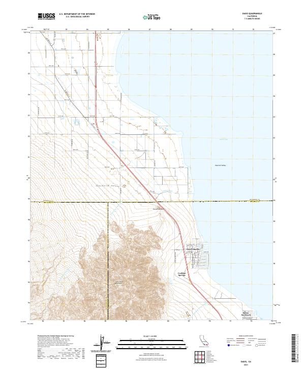 2021 Oasis2021 Print · USGSThe northwestern shoreline of the Salton Sea comes into focus here in the early twenty-first century, where the desert valley floor meets the steep slopes of the Santa Rosa Mountains. Researchers can trace the residential layouts of Desert Shores and Salton Sea Beach or locate landmarks like Travertine Rock.
 - 2021 Map of Seventeen Palms, 2021 Print
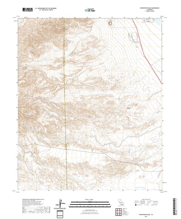 2021 Seventeen Palms2021 Print · USGSThe desert frontier of the Colorado Desert is documented here in the early twenty-first century as it spans the San Diego and Imperial County line. Researchers can trace historic desert routes like the Truckhaven Trl and find vital water sources including Seventeen Palms Spring and Four Palms Spring.
End of results
Showing maps 1-25 of 25
Top cities near Salton Sea Beach
Frequently asked questions
- What are the different types of historical maps available for Salton Sea Beach?
- What is the oldest map of Salton Sea Beach?
- Where can I purchase historical maps of Salton Sea Beach for my home or office?
- Where can I download high-res historical maps of Salton Sea Beach?
- Are there historical topographic maps available for Salton Sea Beach?
- Is there historical aerial imagery available for Salton Sea Beach?
- Where are historical maps of Salton Sea Beach sourced from?