Old Maps of Pettit Place, California for Metal Detecting
Plan your next treasure hunt with 17 historic maps of Pettit Place. Find old homesites, ghost towns, trails, and gathering spots that may be lost to time — perfect for identifying promising metal detecting locations.
- Locate forgotten sites: Uncover places like long-lost settlements, abandoned rail lines, or gathering spots.
- Plan better hunts: Use map overlays combined with LiDAR or satellite views to narrow in on historically rich areas.
- Made for detectorists: Thousands of hobbyists use these maps to discover relics, coins, and hidden history.
Use these historic maps to boost your research and find new opportunities beneath the surface of Pettit Place.
Pettit Place, CA maps
(17)- 1920 Map of Delonagha
 1920 Delonagha1920 Print · USGSThe Sierra Nevada foothills of Kern County come into focus in 1920, showing a landscape defined by the Sequoia National Forest. Researchers can trace the early layout of Glenville, identify remote outposts like Brown Mill, and locate family-named features such as Caughran Springs.
 - 1926 Map of Glennville
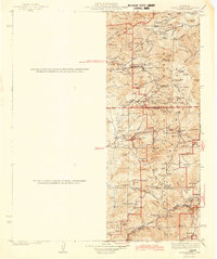
 1926 Glennville1926 Print · USGSKern County's high country is captured here during the 1920s, showing a network of remote ranger stations and early mountain settlements. Genealogists and historians can trace old homestead sites near Havilah, early forestry outposts like Davis RS, and the waters of Delonagha Springs.
 - 1936 Map of Tobias Peak, 1955 Print
 1936 Tobias Peak1955 Print · USGSThe Southern Sierra Nevada and Kern River country are shown here in the mid-1930s as a landscape of remote mining camps and forest stations. Genealogists can locate family names at Oak Grove Cem or trace old workings at the Lone Star Mine and Havilah.
 - 1943 Map of Tobias Peak
 1943 Tobias Peak1943 Print · USGSThe southern Sierra Nevada foothills in the early 1940s are defined by high-elevation meadows and a legacy of mountain ranching. Researchers can locate early schools and mines, including Greenhorn Sch, the Tungsten Mine, and the historic mining camp of Keysville.2 unique versions available
 - 1948 Map of Bakersfield
 1948 Bakersfield1948 Print · USGSBakersfield and the southern San Joaquin Valley appear in the late 1940s, showing a landscape of burgeoning oil towns, rail junctions, and early irrigation canals. Genealogists and historians can trace the foundations of local industry through Gardner Field, the Sunset Railway, and the shores of Buena Vista Lake.2 unique versions available
 - 1955 Map of Bakersfield
 1955 Bakersfield1955 Print · USGSThe southern San Joaquin Valley in the mid-fifties shows an era of massive oil production and industrial irrigation. Trace family roots in Allensworth, the oil fields of Oildale, or the shorelines of Tulare Lake and Buena Vista Lake.
 - 1956 Map of Bakersfield
 1956 Bakersfield1956 Print · USGSThe southern San Joaquin Valley and High Sierra come alive in the mid-fifties, showing the region's complex agricultural and rail networks. Genealogists and historians can trace family roots in towns like Bakersfield, Taft, and Delano, or locate early infrastructure along the Sunset Railway.
 - 1956 Map of Glennville, 1958 Print
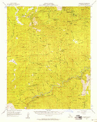 1956 Glennville1958 Print · USGSThe southern Sierra Nevada foothills near the Kern River were a hub of mining and forestry in the mid-fifties. Researchers can trace gold-rush era sites like Havilah and Keysville, or locate family landmarks such as French Ranch and Poso Flat Sch.3 unique versions available
 - 1960 Map of Bakersfield
 1960 Bakersfield1960 Print · USGSThe Southern San Joaquin Valley at mid-century reveals a complex landscape of petroleum development and massive irrigation projects. Researchers can trace the rail lines of the Southern Pacific, explore oil-era landmarks like Oil City, and locate early settlements including Allensworth and Pixley.2 unique versions available
 - 1962 Map of Bakersfield, 1969 Print
 1962 Bakersfield1969 Print · USGSThe Southern San Joaquin Valley is shown in the 1960s as a bustling intersection of petroleum production, irrigation agriculture, and mountain recreation. Researchers can trace the rail lines of the Southern Pacific through the valley or locate early desert developments like California City and Tehachapi.4 unique versions available
 - 1966 Map of Bakersfield
 1966 Bakersfield1966 Print · USGSThe southern San Joaquin Valley in the mid-sixties reveals a massive industrial and agricultural landscape shaped by water and oil. Genealogists and historians can trace the growth of Bakersfield and Oildale, or locate remote airfields like Minter Field and Mojave-Kern County No. 7 Airport.
 - 1972 Map of Alta Sierra, 1975 Print
 1972 Alta Sierra1975 Print · USGSKern County’s high-country terrain is captured here in the early 1970s during its transition to a recreation destination. Genealogists and local historians can locate early industrial sites like Old Likely Mill (Site), the Keyes Mine, and a small mountain Cem.4 unique versions available
 - 1978 Map of Isabella Lake, 1994 Print
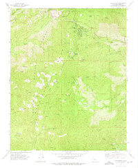
 1978 Isabella Lake1994 Print · USGSKern County's high country and the central reservoir system are detailed here during the late seventies. Researchers can trace historical sites like Havilah and Long Tom Mine, or explore the development around Isabella Lake and Wofford Heights.2 unique versions available
 - 2012 Map of Alta Sierra, 2012 Print
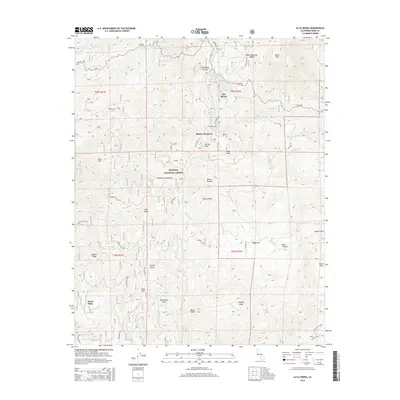
 2012 Alta Sierra2012 Print · USGSCovers Pettit Place, including Alta Sierra, Shirley Meadows, and other nearby areas
 - 2015 Map of Alta Sierra, 2015 Print
 2015 Alta Sierra2015 Print · USGSCovers Pettit Place, including Alta Sierra, Shirley Meadows, and other nearby areas
 - 2018 Map of Alta Sierra, 2018 Print
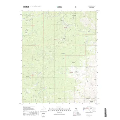 2018 Alta Sierra2018 Print · USGSCovers Pettit Place, including Alta Sierra, Shirley Meadows, and other nearby areas
 - 2022 Map of Alta Sierra, 2022 Print
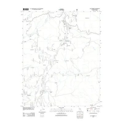
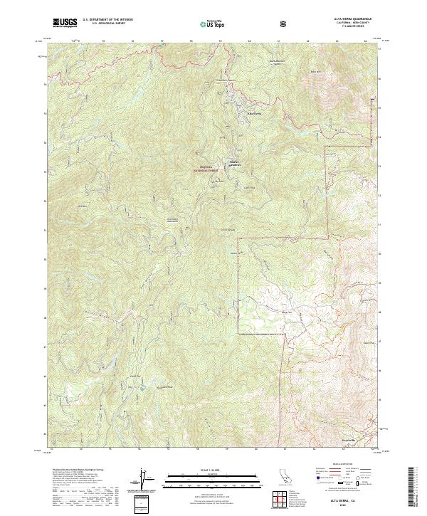 2022 Alta Sierra2022 Print · USGSHigh in the Greenhorn Mountains during the early 2020s, this survey reveals the scattered outposts and rugged ridges of the Sequoia National Forest. Trace the proximity of settlements like Alta Sierra and Keyesville, or locate family landmarks such as Ranger Spring and Evans Flat.
End of results
Showing maps 1-17 of 17
Top cities near Pettit Place
Frequently asked questions
- What are the different types of historical maps available for Pettit Place?
- What is the oldest map of Pettit Place?
- Where can I purchase historical maps of Pettit Place for my home or office?
- Where can I download high-res historical maps of Pettit Place?
- Are there historical topographic maps available for Pettit Place?
- Is there historical aerial imagery available for Pettit Place?
- Where are historical maps of Pettit Place sourced from?